Carson City, Nevada — The American Mountains (Southwest)
Mills Park
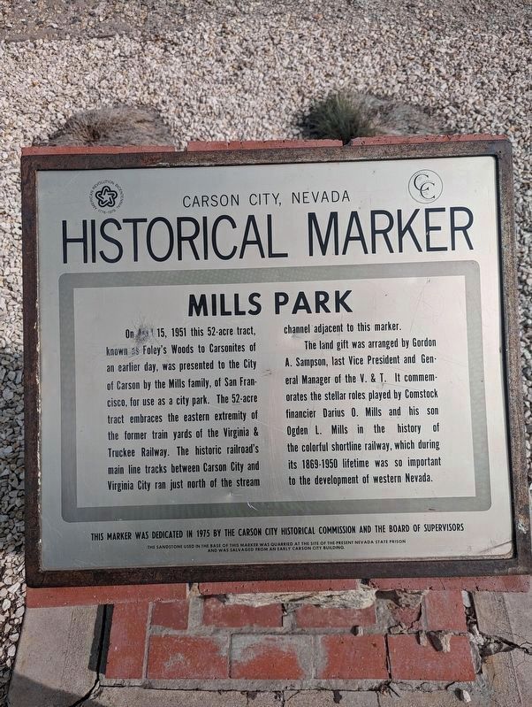
Carson City, Nevada Historical Marker
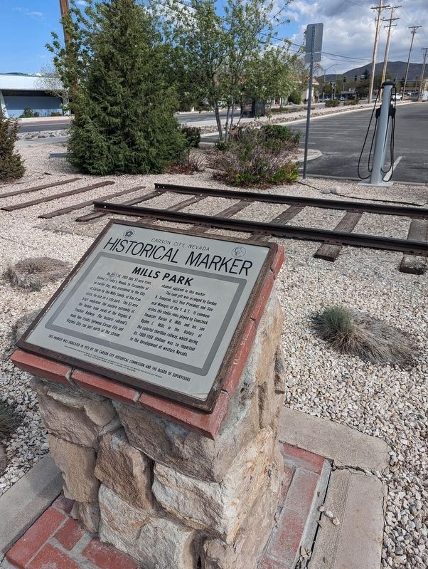
On April 15th, 1951 this 52-acre tract, known as Foley's Woods to Carsonites of an earlier day, was presented to the City of Carson by the Mills family, of San Francisco, for use as a city park. The 52-acre tract embraces the eastern extremity of the former train yards of the Virginia and Truckee Railway. The historic railroad's main line tracks between Carson City and Virginia City ran just north of the stream channel adjacent to this marker. The land gift was arranged by Gordon A. Samson, last Vice President and General Manager of the V. & T. It commemorates the stellar roles played by Comstock financier Darius O. Mills and his son Ogden L. Mills in history of the colorful shortline railway, which during the 1869 - 1950 timeline was so important to development of Western Nevada.
Erected 1975 by Carson City Historical Commission and the Board of Supervisors.
Topics. This historical marker is listed in these topic lists: Parks & Recreational Areas • Railroads & Streetcars. A significant historical date for this entry is April 15, 1952.
Location. 39° 10.151′ N, 119° 45.649′ W. Marker is in Carson City, Nevada. Marker is on North Roop Street, ¼ mile south of East William Street. Touch for map. Marker is at or near this postal address: 905 N Roop St, Carson City NV 89701, United States of America. Touch for directions.
Other nearby markers. At least 8 other markers are within walking distance of this marker. This Site (approx. 0.3 miles away); Virginia and Truckee Roundhouse (approx. 0.3 miles away); V & T, 1869-1950 (approx. 0.3 miles away); Corbett-Fitzsimmons Fight (approx. 0.3 miles away); Dedicated to You, A Free Citizen in a Free Land (approx. 0.4 miles away); The United States Mint at Carson City, Nevada (approx. 0.4 miles away); "Pony" Bob Haslam (approx. 0.4 miles away); Lincoln Highway (approx. 0.4 miles away). Touch for a list and map of all markers in Carson City.
Credits. This page was last revised on May 5, 2023. It was originally submitted on May 1, 2023, by Brian Phelps of Carson City, Nevada. This page has been viewed 139 times since then and 49 times this year. Photos: 1, 2. submitted on May 1, 2023, by Brian Phelps of Carson City, Nevada. • J. Makali Bruton was the editor who published this page.

