Queenstown in Queen Anne's County, Maryland — The American Northeast (Mid-Atlantic)
The Men Who Stood and Fought at Slippery Hill
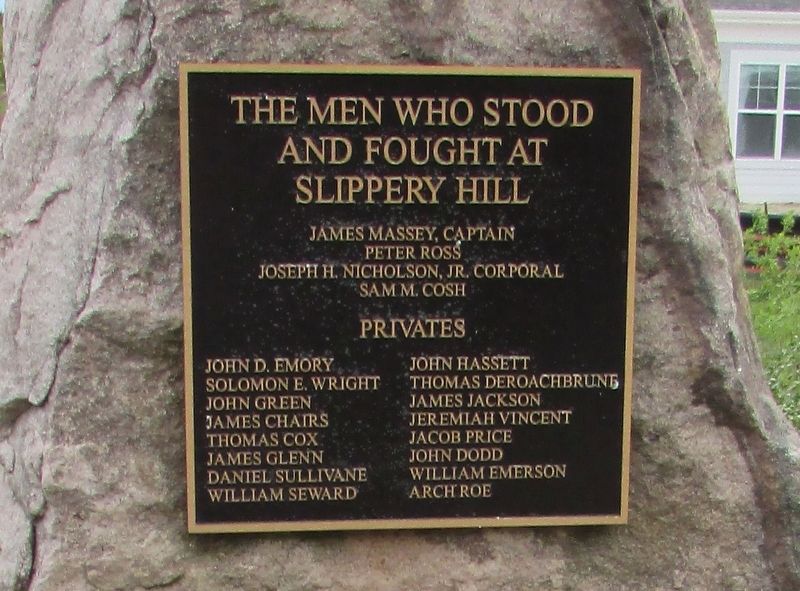
Photographed by Bill Coughlin, April 17, 2023
1. The Men Who Stood and Fought at Slippery Hill Marker
Peter Ross
Joseph H. Nicholson, Jr., Corporal
Sam M. Cosh
Privates
John D. Emory • John Hassett • Solomon E. Wright • Thomas Deroachbrune • John Green • James Jackson • James Chairs • Jeremiah Vincent • Thomas Cox • Jacob Price • James Glenn • John Dodd • Daniel Sullivane • William Emerson • William Seward • Arch Roe
Topics. This historical marker is listed in this topic list: War of 1812. A significant historical date for this entry is August 13, 1813.
Location. 38° 57.929′ N, 76° 10.921′ W. Marker is in Queenstown, Maryland, in Queen Anne's County. It is at the intersection of Main Street (Maryland Route 18) and Newbit Road, on the right when traveling west on Main Street. Touch for map. Marker is in this post office area: Queenstown MD 21658, United States of America. Touch for directions.

Regionally, this marker is on the Eastern Shore. It is also in the American Mid-Atlantic, on the Delmarva Peninsula, in the Tidewater, in the Chesapeake Bay Region, and on the Eastern Seaboard. Globally, it is in the North Atlantic Region, North America, the Western Hemisphere, the Western World, and the Anglosphere.
this page online
Other nearby markers. At least 8 other markers are within 2 miles of this marker, measured as the crow flies: Protecting the Homefront (here, next to this marker); The Battle Enjoined! (here, next to this marker); British Command (here, next to this marker); Lure of Freedom (a few steps from this marker); Battle of Slippery Hill (approx. 0.4 miles away); Road to Battle (approx. half a mile away); Governor William Grason (approx. 1.1 miles away); US M60 "Patton" Tank (approx. 1.3 miles away). Touch for a list and map of all markers in Queenstown.
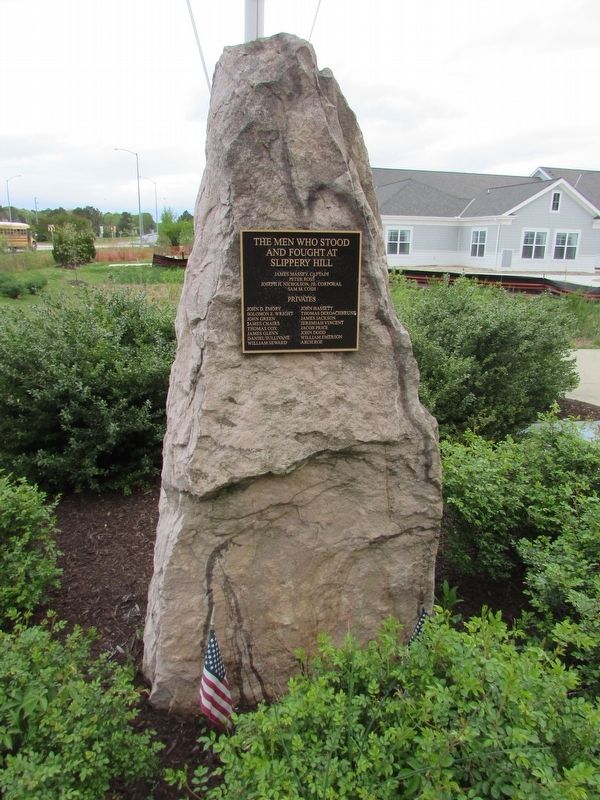
Photographed by Bill Coughlin, April 17, 2023
2. The Men Who Stood and Fought at Slippery Hill Marker
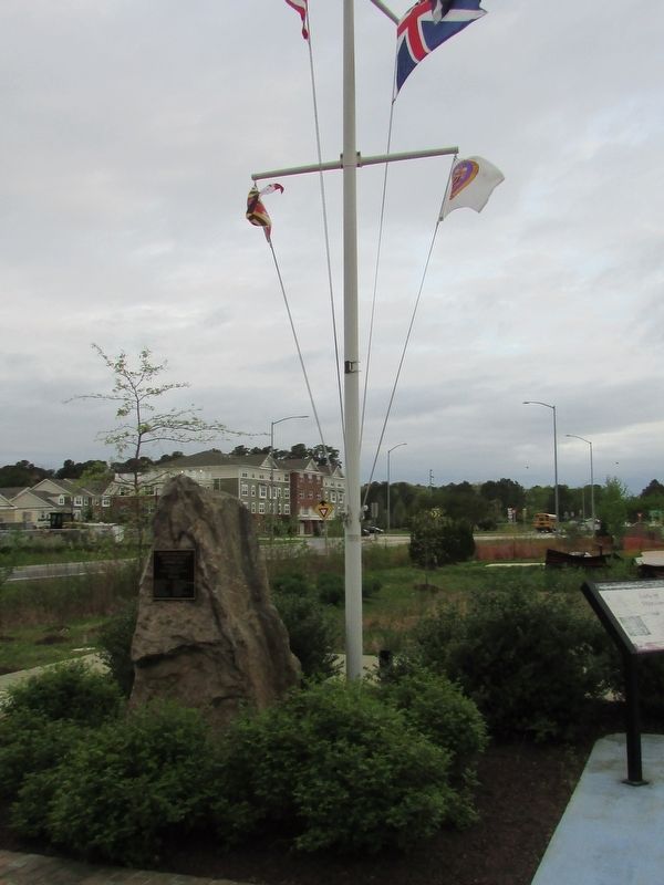
Photographed by Bill Coughlin, April 17, 2023
3. The Men Who Stood and Fought at Slippery Hill Marker
Credits. This page was last revised on May 1, 2023. It was originally submitted on May 1, 2023, by Bill Coughlin of Woodland Park, New Jersey. This page has been viewed 614 times since then and 50 times this year. Photos: 1, 2, 3. submitted on May 1, 2023, by Bill Coughlin of Woodland Park, New Jersey.
