Upper Arlington in Franklin County, Ohio — The American Midwest (Great Lakes)
Guiding Our Young Community
System of Government
— Safety Services —
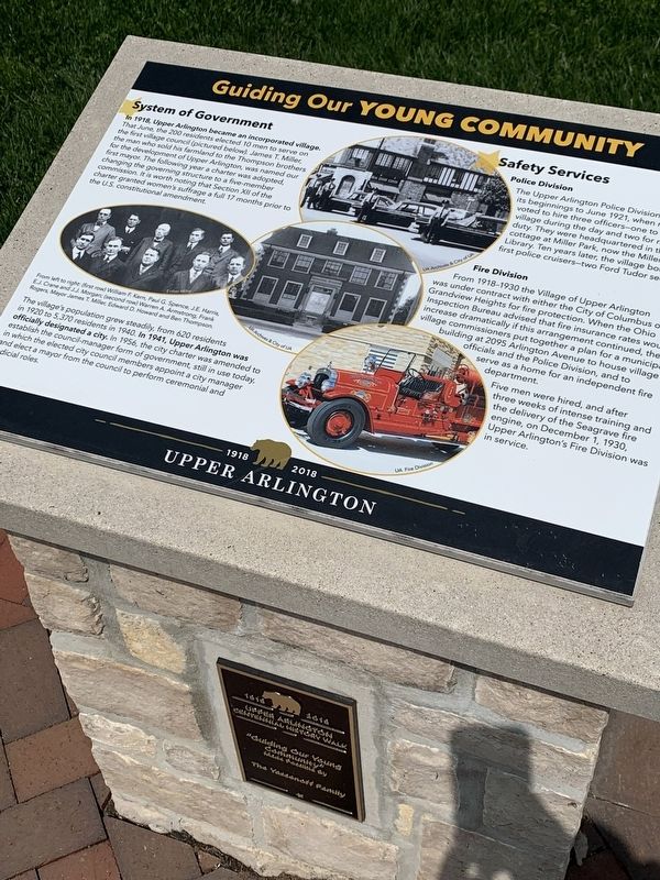
In 1918 Upper Arlington became an incorporated village. That June, the 200 residents elected 10 men to serve on the first village council (pictured below.) James T. Mille, the man who sold his farmland to the Thompson brothers for the development of Upper Arlington, was named our first mayor. The following year a charter was adopted, changing the governing structure to a five-member commission. It is worth noting that Section XI of the charter granted women's suffrage a full 17 months prior to the US constitutional amendment.
The village's population grew steadily, from 620 residents in 1920 to 5,370 residents in 1940. In 1941, Upper Arlington was officially designated a city. In 1956, the city charter was amended to establish the council-manager form of government still in use today, in which the elected city council members appoint a city manager and elect a mayor from the council to perform ceremonial and judicial roles
--Safety Services--
--Police Division--
The Upper Arlington Police Division had its beginnings to June 1921, when residents voted to hire three officers- one to patrol the village during the day and two for night duty. They were headquartered in th cottage at Miller Park, now the Milles Library. Ten years later, the village bought its first police cruisers-two Ford Tudor sedans.
--Fire Division--
From 1918-1930 the Village of Upper Arlington was under contract with either the City of Columbus or Grandview Heights for fire protection. When the Ohio Inspection Bureau advised that fire insurance rates would increase dramatically if this arrangement continued, the village commissioners put together a plan for a municipal building at 2095 Arlington Avenue to house village officials and the Police Division, and to serve as a home for an independent fire department.
Five men were hired, and after three weeks of intense training and the delivery of the Seagrave fire engine, on December 1, 1930, Upper Arlington's Fire Division was in service.
Erected 2018 by City of Upper Arlington.
Topics. This historical marker is listed in these topic lists: Government & Politics • Law Enforcement. A significant historical year for this entry is 1918.
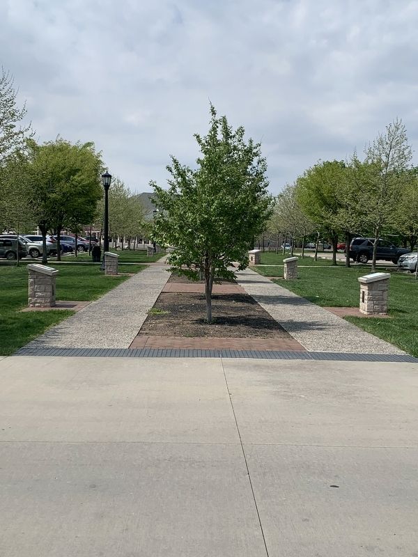
Location. 40° 0.819′ N, 83° 3.987′ W. Marker is in Upper Arlington, Ohio, in Franklin County. Marker is on Tremont Road, 0.1 miles Northam Road, on the right when traveling north. Marker is in Centennial Plaza. Marker is on an island in the parking lot between Upper Arlington Library, Tremont Pool, and Tremont Elementary. Heavy traffic at school dropoff and pickup hours. Touch for map. Marker is at or near this postal address: 2850 Tremont Rd, Columbus OH 43221, United States of America. Touch for directions.
Other nearby markers. At least 8 other markers are within walking distance of this marker. Our Community Spirit (here, next to this marker); The History Walk and Upper Arlington's Centennial (a few steps from this marker); Our Physical Growth (a few steps from this marker); Our Early Retail History (a few steps from this marker); Our Mascot: The Golden Bear (a few steps from this marker); Our Early Development (within shouting distance of this marker); Our School and Libraries (within shouting distance of this marker); Our Founders (within shouting distance of this marker). Touch for a list and map of all markers in Upper Arlington.
Credits. This page was last revised on May 13, 2023. It was originally submitted on May 1, 2023, by Mark Moxley-Knapp of Columbus, Ohio. This page has been viewed 46 times since then and 3 times this year. Photos: 1, 2. submitted on May 1, 2023, by Mark Moxley-Knapp of Columbus, Ohio. • Bill Pfingsten was the editor who published this page.

