Upper Arlington in Franklin County, Ohio — The American Midwest (Great Lakes)
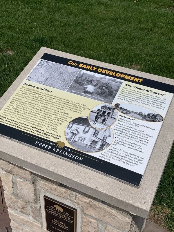
Our Early Development
An Interrupted Start
— Why Upper Arlington? —
After King and Ben Thompson purchased 840 acres of farmland from James T. Miller, they hired William Pitkin Jr. of Rochester, New York to create the design. They originally called the project the "Country Club District inspired by the Country Club District in Kansas City. Pitkin's design allowed the streets to follow the contours of the land (pictured top left) with open park spaces and houses set back from the roads. King and his wife Ethel picked street names from English magazines.
Development was interrupted in 1916 with the creation of Camp Willis (pictured top-right) That March 17 Americans were killed in a military camp raid at the border town of Columbus, New Mexico. President Woodrow Wilson ordered the U.S. Army to chase the perpetrator, General Francisco Pancho Villa, into Mexico A presidential decree dated June 18, 1916 gave Ohio Governor Frank Willis authority to seize a site for a training camp for Ohio National Guardsmen-the Thompsons land was a perfect location. While the camp was only active between June and September of 1916, it caused significant damage to the site, and the Thompson brothers had to restart their development in the fall of 1916
By 1918, the community had grown to 200 residents, and on March 20 that year, the petition to incorporate the Village of Upper Arlington approved. James T. Miller was selected as its first mayor.
Why "Upper Arlington?"
At one time the area now known as Marble Cliff was named Arlington. However, it was renamed Marble Cliff since another town named Arlington already existed in Ohio. Since the Thompsons development was north of the area that had been commonly referred to as Arlington, they named it Upper Arlington.
Did You Know?
Construction began on the first road- Roxbury Road-in 1914
The first residents of Upper Arlington were members of the Warren Armstrong family. While their house was being built, they lived above the Columbus Gun Club at Cambridge Boulevard and West Fifth Avenue.
The first house belonged to Frank Bornhauser at 1722 Bedford Road (pictured lower- left)
James T. Miller's son Henry was one of the first residents, living at 1860 Cambridge Boulevard. James front of his home in 1918 (pictured sister Grace was photographed in middle-left)
Erected 2018 by City of Upper Arlington.
Topics. This historical marker is listed in this topic list: Notable Events. A significant historical year for this entry is 1918.
Location. 40° 0.828′ N, 83° 4′ W. Marker is in Upper Arlington, Ohio, in Franklin County. Marker is on Tremont Road, 0.1 miles north of Northam Road, on the right when traveling north. Marker is on island in parking lot. Marker is near Centennial Plaza. Marker is in lot between Upper Arlington Library, Tremont Pool, and Tremont Elementary. Touch for map. Marker is at or near this postal address: 2820 Tremont Rd, Columbus OH 43221, United States of America. Touch for directions.
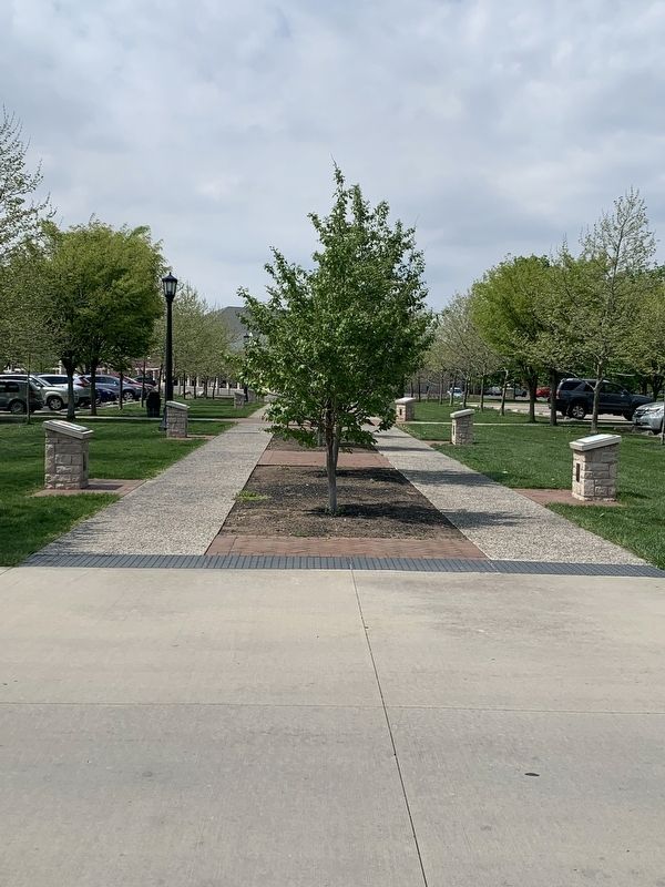
Other nearby markers. At least 8 other markers are within walking distance of this marker. Our Early Retail History (here, next to this marker); The History Walk and Upper Arlington's Centennial (a few steps from this marker); Our School and Libraries (a few steps from this marker); Our Founders (a few steps from this marker); Guiding Our Young Community (within shouting distance of this marker); Our Beginnings: Before 1913 (within shouting distance of this marker); Our Historic Religious Buildings (within shouting distance of this marker); Our Community Spirit (within shouting distance of this marker). Touch for a list and map of all markers in Upper Arlington.
Credits. This page was last revised on May 13, 2023. It was originally submitted on May 1, 2023, by Mark Moxley-Knapp of Columbus, Ohio. This page has been viewed 51 times since then and 6 times this year. Photos: 1, 2. submitted on May 1, 2023, by Mark Moxley-Knapp of Columbus, Ohio. • Bill Pfingsten was the editor who published this page.

