Upper Arlington in Franklin County, Ohio — The American Midwest (Great Lakes)
Our Beginnings: Before 1913
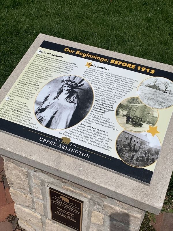
Over 2,000 years ago, this land was occupied by the Adena people, considered the area's first farmers and best known for building conical mounds for burial sites. Shrum Mound at Campbell Memorial Park is the closest example near Upper Arlington. Centuries later the Wyandot Indians lived here.
By the early 1700s, they had transitioned from hunters and gatherers to farmers. With an influx of early white settlers, the Wyandots and other nearby Native American groups-such as the Shawnee and Delaware- were confronted with a difficult choice: to fight or sign treaties. Wyandot Chief Leatherlips -whose words were said to be as strong as leather- chose the latter but ultimately paid with his life in 1810 at the hands of other Wyandots who preferred to keep fighting.
Thought to be the last surviving Wyandot in Ohio of those few who stayed after the federal government expelled them in 1843, Bill Moose (pictured right) died in 1937. He was employed as a rider in a circus Wild West show and retired to live in the area. He is buried in Wyandot Park at Riverside Drive and Lane Road.
Early Settlers
The new government of the United States did not have the money to pay soldiers of the Revolutionary War, instead giving land in the Ohio territory. In 1800, President John Adams made such grants to Elijah Backus, Jonathan Dayton and Andrew Marker. Backus' land ran from about what is now Fifth Avenue to Fishinger Road, Dayton's extended north from Fishinger Road to Bethel Road, and Marker's land was along the Scioto River.
John McCoy purchased 1,157 acres of the southernmost portion of Backus' parcel, then sold the land in 1818 to Benjamin Smith, who sold it to Dr. Henry Miller in 1859. Miller's son, James, eventually sold 840 acres for the original Upper Arlington development. Through later annexations, virtually all of Backus' and Dayton's land, and the eastern portion of Marker's became part of Upper Arlington. Some early farm families in addition to the McCoys (James McCoy farmhouse pictured top right) and the Millers, were the Delashmutts, the Lakins, the Leggs, the Litchfords, the Richards (house pictured middle right), the Slyhs, the Trapps (pictured bottom right) and the Walcutts.
Erected 2018 by City of Upper Arlington.
Topics. This historical marker is listed in these topic lists: Native Americans • Settlements & Settlers. A significant historical year for this entry is 1810.
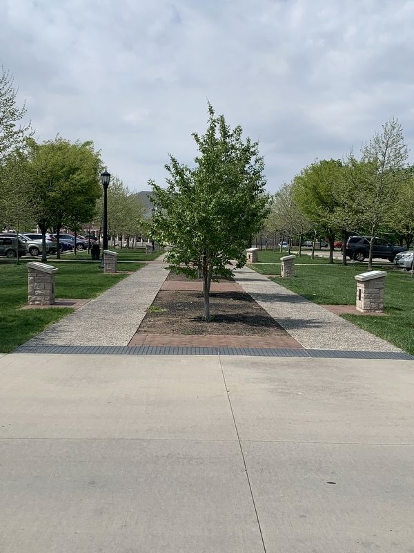
Location. 40° 0.835′ N, 83° 4.015′ W. Marker is in Upper Arlington, Ohio, in Franklin County. Marker is on Tremont Road, 0.1 miles north of Northam Road, on the right when traveling north. Marker is on an island in the parking lot between the Upper Arlington library, Tremont Pool, and Tremont Elementary. Touch for map. Marker is at or near this postal address: 2820 Tremont Rd, Columbus OH 43221, United States of America. Touch for directions.
Other nearby markers. At least 8 other markers are within walking distance of this marker. Our Historic Religious Buildings (here, next to this marker); Our Founders (a few steps from this marker); Our School and Libraries (a few steps from this marker); Our Early Development (within shouting distance of this marker); Our Early Retail History (within shouting distance of this marker); The History Walk and Upper Arlington's Centennial (within shouting distance of this marker); Guiding Our Young Community (within shouting distance of this marker); Our Community Spirit (within shouting distance of this marker). Touch for a list and map of all markers in Upper Arlington.
Credits. This page was last revised on May 13, 2023. It was originally submitted on May 2, 2023, by Mark Moxley-Knapp of Columbus, Ohio. This page has been viewed 50 times since then and 5 times this year. Photos: 1, 2. submitted on May 2, 2023, by Mark Moxley-Knapp of Columbus, Ohio. • Bill Pfingsten was the editor who published this page.

