Panama City in Bay County, Florida — The American South (South Atlantic)
Panama City Airport
Photographed by Craig Swain, May 29, 2008
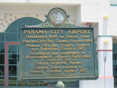
1. Panama City Airport Marker
Panama City-Bay County Airport 1964
Panama City-Bay County Airport
and Industrial District 1967
Developed and controlled by
Representative Airport Authorities
in conjunction with the
Federal Aviation Agency
Control Tower erected by
Federal Aviation Agency 1967
Erected 1968 by Bay County - Panama City in cooperation with Florida Board of Parks and Historic Memorials. (Marker Number F-154.)
Topics. This historical marker is listed in these topic lists: Air & Space • Industry & Commerce. A significant historical year for this entry is 1945.
Location. Marker has been reported missing. It was located near 30° 12.416′ N, 85° 40.983′ W. Marker was in Panama City, Florida, in Bay County. It was on Airport Road (County Road 391), on the left when traveling west. Located in front of the main airport terminal. Touch for map. Marker was at or near this postal address: 3173 Airport Road, Panama City FL 32405, United States of America. Touch for directions.

Regionally, this marker was on the Florida Panhandle. It was also in the American South, specifically in the Deep South, and on the Gulf Coast.
this page online
Other nearby markers. At least 8 other markers are within 3 miles of this location, measured as the crow flies: Hillside Cemetery (approx. 1.3 miles away); Covington Cemetery (approx. 2.1 miles away); Original St. Andrews Baptist Church (approx. 2.6 miles away); Historic St. Andrews Church (approx. 2.6 miles away); The Original Bell (approx. 2.6 miles away); Dunton’s Tastee Freez (approx. 2.6 miles away); Gideon’s Fish House (approx. 2.6 miles away); The Thomas Freeman Home (approx. 2.6 miles away). Touch for a list and map of all markers in Panama City.
Another marker is no longer nearby. St. Andrew(s) School (was approx. 2½ miles away but has been confirmed missing).
Additional commentary.
1. New Airport
Panama City-Bay County International Airport (PFN) is no longer the area's commercial passenger
Photographed by Craig Swain, May 29, 2008
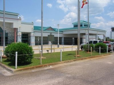
2. Panama City Airport Marker in front of the Terminal
— Submitted June 9, 2010, by Glenn Sheffield of Tampa, Florida.
Photographed by Craig Swain, May 29, 2008
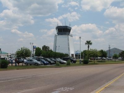
3. Panama City Airport Control Tower
Photographed by Craig Swain, May 29, 2008
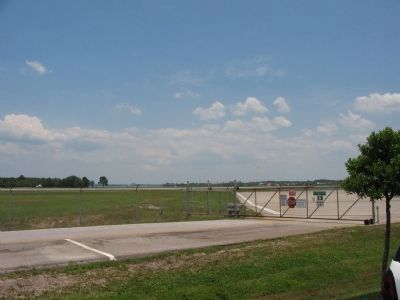
4. Panama City Airport
The airport serves Panama City, Panama City Beach, and the surrounding area.
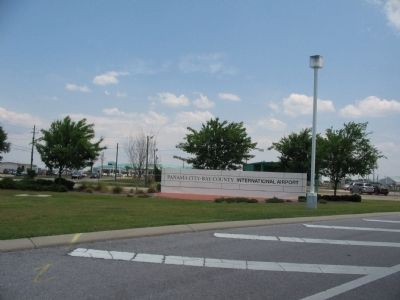
Photographed by Craig Swain, May 29, 2008
5. Panama City Airport Entrance
Credits. This page was last revised on May 3, 2023. It was originally submitted on June 5, 2008, by Craig Swain of Leesburg, Virginia. This page has been viewed 3,414 times since then and 115 times this year. Last updated on May 3, 2023, by Jeff Becker of Panama City, Florida. Photos: 1, 2, 3, 4, 5. submitted on June 5, 2008, by Craig Swain of Leesburg, Virginia. • Bernard Fisher was the editor who published this page.
