
Roanoke Rapids in Halifax County, North Carolina — The American South (South Atlantic)
Akers (Central) School
1908 - 1975
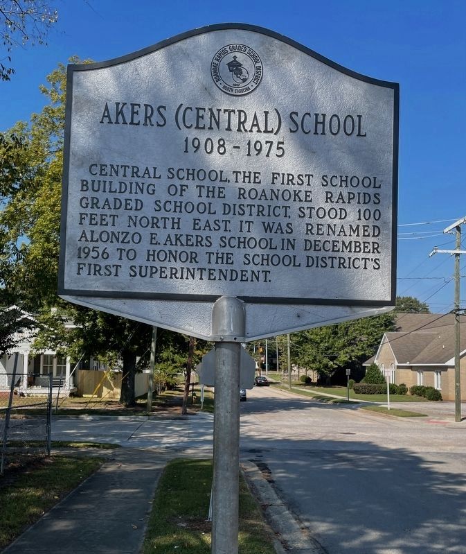
Photographed by Brandon D Cross, October 5, 2021
1. Akers (Central) School Marker
Erected by Roanoke Rapids Graded School District.
Topics. This historical marker is listed in this topic list: Education. A significant historical year for this entry is 1956.
Location. 36° 27.839′ N, 77° 39.095′ W. Marker is in Roanoke Rapids, North Carolina, in Halifax County. It is on East Fifth Street just east of Hamilton Street, on the right when traveling east. Touch for map. Marker is at or near this postal address: 430 Hamilton St, Roanoke Rapids NC 27870, United States of America. Touch for directions.

Regionally, this marker is in North Carolina’s Coastal Plain. It is also in the American South and specifically in the Upper South. Globally, it is in North America, the Western Hemisphere, the Western World, and the Anglosphere. Historically, it finds itself in what was once the territory of the Mississippian Culture, one of the original Thirteen Colonies, one of the Confederate
this page online
Other nearby markers. At least 8 other markers are within walking distance of this marker: Akers Park (approx. ¼ mile away); Korea/Vietnam (approx. ¼ mile away); Veterans Memorial (approx. 0.3 miles away); Lest We Forget (approx. 0.3 miles away); Afghanistan & Iraq Memorial (approx. 0.3 miles away); Roanoke Rapids High School (approx. 0.4 miles away); a different marker also named Roanoke Canal (approx. ¾ mile away); Bike Trail Map (approx. ¾ mile away). Touch for a list and map of all markers in Roanoke Rapids.
Another marker is no longer nearby. Roanoke Canal (was approx. ¾ mile away but has been confirmed missing).
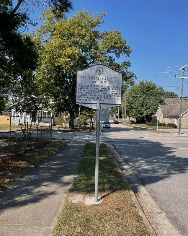
Photographed by Brandon D Cross, October 5, 2021
2. Akers (Central) School Marker
Credits. This page was last revised on May 9, 2023. It was originally submitted on October 26, 2021, by Brandon D Cross of Flagler Beach, Florida. This page has been viewed 526 times since then and 53 times this year. Last updated on May 5, 2023, by Michael Buckner of Durham, North Carolina. Photos: 1, 2. submitted on October 26, 2021, by Brandon D Cross of Flagler Beach, Florida. • Bernard Fisher was the editor who published this page.
