West Point in Orange County, New York — The American Northeast (Mid-Atlantic)
Constitution Island
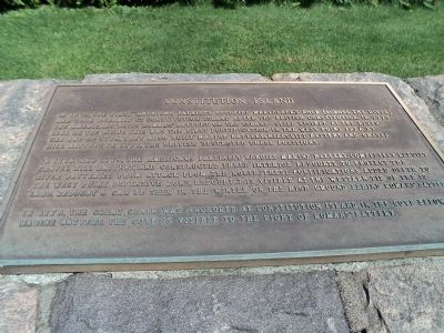
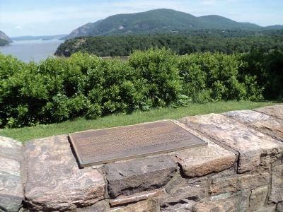
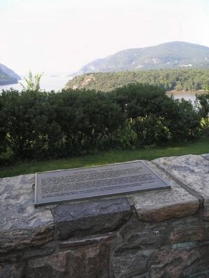
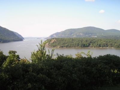
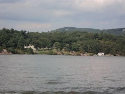
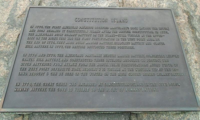
In 1775, the first American patriots occupied Martelaer’s Rock (across the river) and soon renamed it Constitution Island after the British Constitution. In 1775, the Americans built Romans’ Battery on the island – still visible at the river line on the right. This was the first fortification in the West Point area. By the end of 1776, they also built Marine Battery, Hillcliff Battery and Gravel Hill Battery. In 1777, the British destroyed these positions.
In 1778 and 1779, the Americans partially rebuilt Marine Battery, completely rebuilt Gravel Hill Battery, and constructed three interior redoubts to protect the river batteries from attack from the north. These fortification added depth to the West Point defensive zone. Redoubt 7 is visible at the western tip of the island. Redoubt 6 can be seen in the winter on the high ground behind Romans’ Battery.
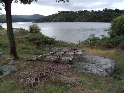
In 1778, the Great Chain was anchored at Constitution Island in the cove below Marine Battery. The cove is visible to the right of Romans’ Battery.
Topics. This historical marker is listed in these topic lists: Notable Places • War, US Revolutionary. A significant historical year for this entry is 1775.
Location. 41° 23.754′ N, 73° 57.349′ W. Marker is in West Point, New York, in Orange County. Marker is on Washington Road, on the right when traveling west. Marker is located at Trophy Point at the U.S. Military Academy. Touch for map. Marker is in this post office area: West Point NY 10996, United States of America. Touch for directions.
Other nearby markers. At least 8 other markers are within walking distance of this marker. Sherburne’s Redoubt (here, next to this marker); West Point in the American Revolution (here, next to this marker); In Memoriam (here, next to this marker); The Great Chain (here, next to this marker); Our National Heritage (here, next to this marker); Wars That Shaped the Nation (within shouting distance of this marker); a different marker also named Wars That Shaped the Nation (within shouting distance of this marker); Fred E. McAniff & John R. Parker (within shouting distance of this marker). Touch for a list and map of all markers in West Point.
Related markers. Click here for a list of markers that are related to this marker. See the batteries and redoubts on Constitution Island mentioned on the marker.
Also see . . . Constitution Island Association. Association website homepage (Submitted on September 6, 2009, by Bill Coughlin of Woodland Park, New Jersey.)
Credits. This page was last revised on February 23, 2023. It was originally submitted on September 6, 2009, by Bill Coughlin of Woodland Park, New Jersey. This page has been viewed 1,185 times since then and 27 times this year. Photos: 1, 2. submitted on June 9, 2012, by Bill Coughlin of Woodland Park, New Jersey. 3, 4. submitted on September 6, 2009, by Bill Coughlin of Woodland Park, New Jersey. 5, 6. submitted on September 30, 2012, by Bill Coughlin of Woodland Park, New Jersey. 7. submitted on February 23, 2023, by William Fischer, Jr. of Scranton, Pennsylvania.
