Nipigon in Thunder Bay District, Ontario — Central Canada (North America)
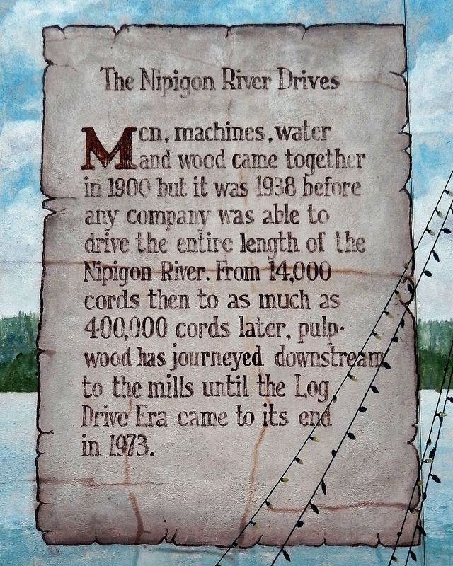
The Nipigon River Drives
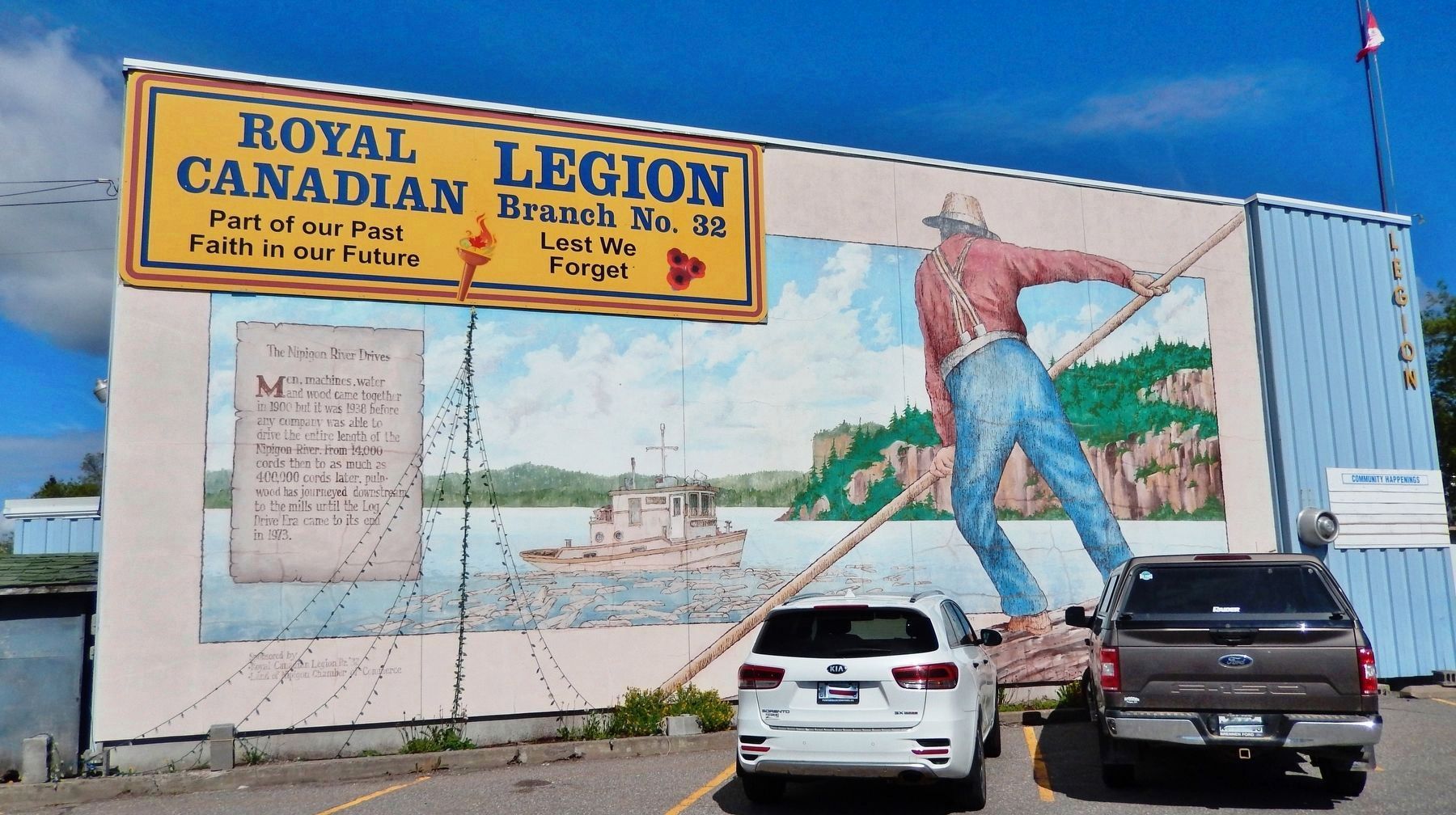
Men, machines, water and wood came together in 1900 but it was 1938 before any company was able to drive the entire length of the Nipigon River. From 14,000 cords then to as much as 400,000 cords later, pulp wood has journeyed downstream to the mills until the Log Drive Era came to its end in 1973.
Erected by Royal Canadian Legion Br. 32; and Land of Nipigon Chamber of Commerce.
Topics. This historical marker is listed in these topic lists: Industry & Commerce • Waterways & Vessels. A significant historical year for this entry is 1938.
Location. 49° 0.871′ N, 88° 15.825′ W. Marker is in Nipigon, Ontario, in Thunder Bay District. Marker is at the intersection of Railway Street and 5th Street, on the left when traveling north on Railway Street. Marker and mural cover the east facade of the Royal Canadian Legion Branch 32 building at this location. Touch for map. Marker is at or near this postal address: 102 5th Street, Nipigon ON P0T 2J0, Canada. Touch for directions.
Other nearby markers. At least 8 other markers are within walking distance of this marker. Nipigon Service Garage / Palace Theatre (within shouting distance of this marker); Lest We Forget (within shouting distance of this marker); In Tribute to John Salo (within shouting distance of this marker); Consumers Co-op Store (within shouting distance of this marker); The Old Nipigon CP Railway Station (about 120 meters away, measured in a direct line); The Taylor House (about 120 meters away); The Nipigon Café (about 150 meters away); Consolidated School (about 180 meters away). Touch for a list and map of all markers in Nipigon.
Also see . . .
1. Lake Nipigon.
The lake, the fourth largest in Ontario, supports a small commercial fishery and the adjacent forests supply pulpwood for mills in Red Rock and Thunder Bay.(Submitted on May 6, 2023, by Cosmos Mariner of Cape Canaveral, Florida.)
2. Log Driving On Nipigon River.
After World War II, the pulp and paper industry boomed & the Nipigon River was one of many area rivers used to drive logs downstream to the waiting mills.(Submitted on May 6, 2023, by Cosmos Mariner of Cape Canaveral, Florida.)
Credits. This page was last revised on May 6, 2023. It was originally submitted on May 5, 2023, by Cosmos Mariner of Cape Canaveral, Florida. This page has been viewed 52 times since then and 12 times this year. Photos: 1, 2. submitted on May 6, 2023, by Cosmos Mariner of Cape Canaveral, Florida.

