Montpelier in Washington County, Vermont — The American Northeast (New England)
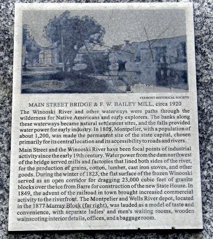
Main Street Bridge & F.W. Bailey Mill, Circa 1920
Inscription.
The Winooski River and other waterways were paths through the wilderness for Native Americans and early explorers. The banks along these waterways became natural settlement sites, and the falls provided water power for early industry. In 1805, Montpelier, with a population of about 1,2000, was made the permanent site of the state capital, chosen primarily for its central location and its accessibility to roads and rivers.
Main Street and the Winooski River have been focal points of industrial activity since the early 19th century. Water power from the dam northwest of the bridge served mills and factories that lined both sides of the river, for the production of grains, cotton, lumber, cast iron stoves, and other goods. During the winter of 1823, the flat surface of the frozen Winooski served as an open corridor for dragging 23,000 cubic feet of granite blocks over the ice from Barre for the construction of the new State House. In 1849, the advent of the railroad in town brought increased commercial activity to the waterfront. The Montpelier and Wells River depot, located in the 1877 Murray Block (far right), was lauded as a model for taste and convenience, with separate ladies’ and men’s waiting rooms, wooden wainscotting interior details, offices, and a baggage room.
Topics. This historical marker is listed in these topic lists: Industry & Commerce • Railroads & Streetcars. A significant historical year for this entry is 1805.
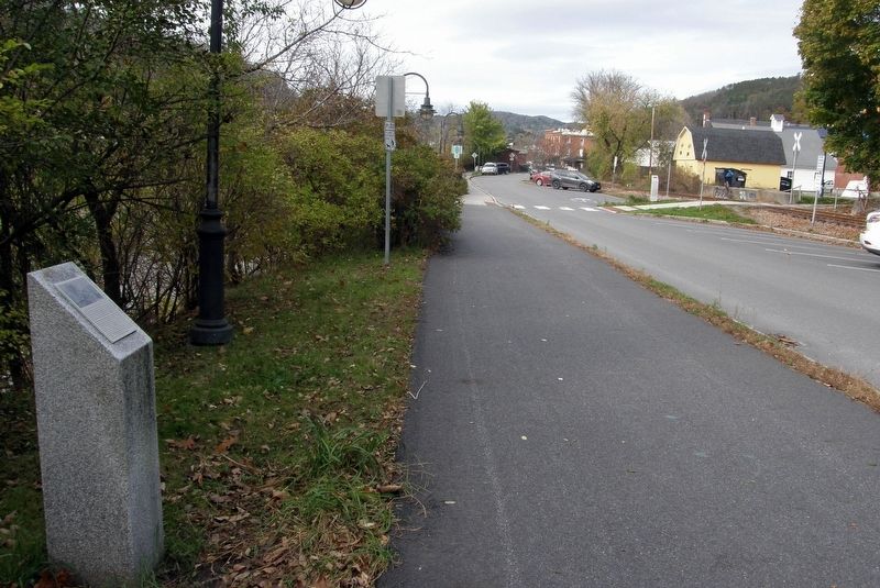
Location. 44° 15.39′ N, 72° 34.513′ W. Marker is in Montpelier, Vermont, in Washington County. Marker is on Stonecutters Way, on the left when traveling north. Touch for map. Marker is in this post office area: Montpelier VT 05602, United States of America. Touch for directions.
Other nearby markers. At least 8 other markers are within walking distance of this marker. Winooski River From Bailey’s Grain Tower, 1929 (within shouting distance of this marker); Flood of 1927, Montpelier and Wells River Railroad Station and Yard (within shouting distance of this marker); The Arthur Tandy (approx. 0.2 miles away); Railroad Turntable, circa 1907 (approx. 0.2 miles away); Site of the Caldwell House (approx. ¼ mile away); Senator William Upham (approx. 0.4 miles away); Lafayette’s Tour / Le Tour De Lafayette (approx. 0.4 miles away); State House (approx. 0.4 miles away). Touch for a list and map of all markers in Montpelier.
Credits. This page was last revised on May 6, 2023. It was originally submitted on May 6, 2023, by Larry Gertner of New York, New York. This page has been viewed 64 times since then and 11 times this year. Photos: 1, 2. submitted on May 6, 2023, by Larry Gertner of New York, New York.

