Winchester in Randolph County, Indiana — The American Midwest (Great Lakes)
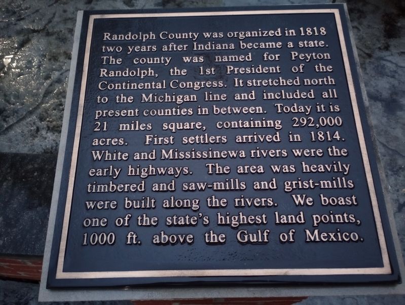
Randolph County was organized in 1818
Topics. This historical marker is listed in these topic lists: Political Subdivisions • Settlements & Settlers • Waterways & Vessels. A significant historical year for this entry is 1818.
Location. 40° 10.315′ N, 84° 58.916′ W. Marker is in Winchester, Indiana, in Randolph County. Marker is at the intersection of West Franklin Street and South Main Street, on the right when traveling west on West Franklin Street. Touch for map. Marker is at or near this postal address: 100 S Main St, Winchester IN 47394, United States of America. Touch for directions.
Other nearby markers. At least 8 other markers are within walking distance of this marker. Sports and Recreation (here, next to this marker); Randolph County History: 1818-2018 (here, next to this marker); Organized Religion (here, next to this marker); James P. Goodrich (here, next to this marker); Arts and Sciences (here, next to this marker); Commerce and Transportation (here, next to this marker); Politics, Government and Law (here, next to this marker); Isaac Pusey Gray (here, next to this marker). Touch for a list and map of all markers in Winchester.
Credits. This page was last revised on June 2, 2023. It was originally submitted on May 6, 2023, by Craig Doda of Napoleon, Ohio. This page has been viewed 37 times since then and 5 times this year. Photos: 1, 2. submitted on May 6, 2023, by Craig Doda of Napoleon, Ohio. • Devry Becker Jones was the editor who published this page.

