Cayce in Lexington County, South Carolina — The American South (South Atlantic)
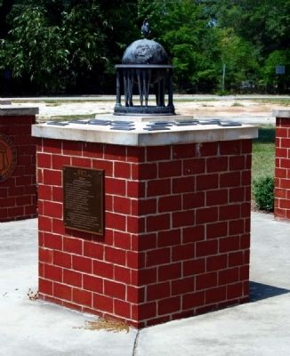
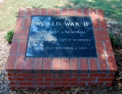
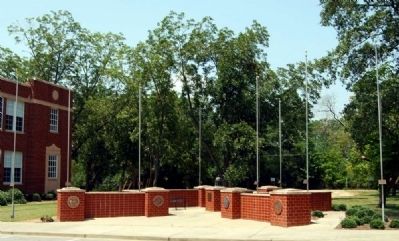
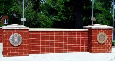
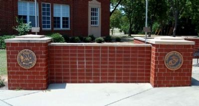
World War II Monument and Memorial
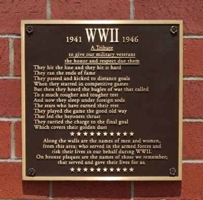
A Tribute
to give our military veterans
the honor and respect due them
They hit the line and they hit it hard
They ran the ends of fame
They passed and kicked to distant goals
When they starred in competitive games
But when they heard the bugles of war that called
To a much rougher and tougher test
And now they sleep under foreign sods
The stars who have earned their rest
They played the game the good old way
That led the bayonets thrust
They carried the charge to the final goal
Which covers their golden dust
Along the walls are the names of men and women,
from this area; who served in the armed forces and
risk their lives in our behalf during WWII.
On bronze plaques are the names of those we remember;
that served and gave their lives for us.
* * * * * * * * * *
Plaques Attached to Flag Poles
WWII: Army Air Force
POW--Germany 1944-1945
(By wife, Jeannie; daughter, Cheryl Provus)
David C. Hook, Sr.
WWII
US Navy
Ben R. Moye
WWII: US Army Air Force
B-C High Coach 1950-1958
Ernest P. Jovanelly
WWII: POW
US Army
Roy Redd Garvin
WWII: Merchant Marines
Thomas H. Newman, Jr.
WWII: US Marine
Coach B-C High School 1949-1956
Erected 2003 by Brookland-Cayce Class of 1952.
Topics. This historical marker and memorial is listed in these topic lists: Heroes • War, World II. A significant historical year for this entry is 1941.
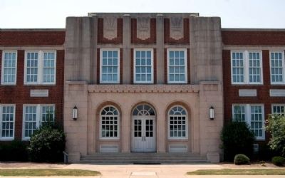
Location. 33° 58.95′ N, 81° 3.344′ W. Marker is in Cayce, South Carolina, in Lexington County. Marker is on State Road (State Highway 2) south of Indigo Avenue, on the right when traveling south. Monument is located east of the north wing of Brookland-Cayce High School. Touch for map. Marker is at or near this postal address: 1300 State Road, Cayce SC 29033, United States of America. Touch for directions.
Other nearby markers. At least 10 other markers are within one mile of this marker, measured as the crow flies. Old State Road (about 300 feet away, measured in a direct line); Guignard Park (approx. ¼ mile away); Milestones (approx. 0.8 miles away); River Inn, c. 1740s (approx. 0.9 miles away); Gervais Street Bridge (approx. 0.9 miles away); “City of Columbia” Anchor (approx. 0.9 miles away); Friday’s Ferry (approx. 0.9 miles away); Old Congaree River Bridges (approx. 0.9 miles away); Congaree River Bridges (approx. one mile away); Columbia Canal (approx. 1.1 miles away). Touch for a list and map of all markers in Cayce.
Credits. This page was last revised on September 18, 2020. It was originally submitted on September 6, 2009, by Brian Scott of Anderson, South Carolina. This page has been viewed 1,727 times since then and 30 times this year. Photos: 1, 2, 3, 4, 5, 6, 7. submitted on September 6, 2009, by Brian Scott of Anderson, South Carolina.
