Axtell Park in Sioux Falls in Minnehaha County, South Dakota — The American Midwest (Upper Plains)
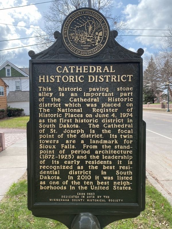
Cathedral Historic District
⎯⎯⎯
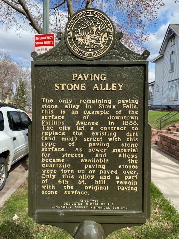
Paving Stone Alley
April 22, 2023
1. Cathedral Historic District side of marker
Erected 2014 by the Minnehaha County Historical Society.
Topics.
this page online
Location. 43° 33.069′ N, 96° 44.092′ W. Marker is in Sioux Falls, South Dakota, in Minnehaha County. It is in Axtell Park. It is on West 6th Street west of North Duluth Avenue, on the left when traveling west. Touch for map. Marker is in this post office area: Sioux Falls SD 57104, United States of America. Touch for directions.

Regionally, this marker is in East River. It is also in the American Midwest, in the Lewis & Clark Corridor, in the Corn Belt, on the prairies, and on the Northern Plains. Globally, it is in North America, the Western Hemisphere, the Western World, and the Anglosphere. Historically, it finds itself in what was once Rupert’s Land and also the Louisiana Purchase.
Other nearby markers. At least 8 other markers are within walking distance of this marker: Quartzite Paving Stones (within shouting distance of this marker); Two Cemeteries (about 400 feet away, measured in a direct line); Kaufmann House Mystery (about 400 feet away); 215 N Duluth Avenue (about 700 feet away); U.S. Senator R.F. Pettigrew
April 22, 2023
2. Paving Stone Alley side of marker
Another marker is no longer nearby. Prehistoric Prayer Rock (was approx. 0.2 miles away but has been reported to have been replaced with another marker now near it).
April 22, 2023
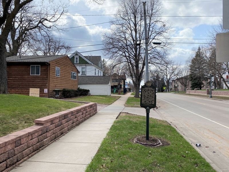
3. Cathedral Historic District / Paving Stone Alley Marker, from the east
April 22, 2023
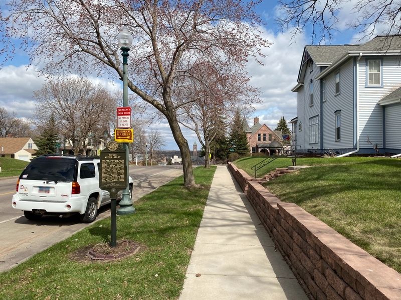
4. Cathedral Historic District / Paving Stone Alley Marker, from the west
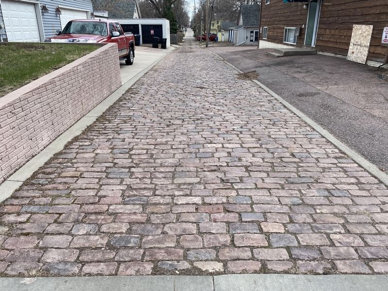
April 22, 2023
5. Paving Stone Alley
Credits. This page was last revised on May 6, 2023. It was originally submitted on May 6, 2023. This page has been viewed 390 times since then and 36 times this year. Photos: 1, 2, 3, 4, 5. submitted on May 6, 2023.
