Near Warm Springs in Meriwether County, Georgia — The American South (South Atlantic)
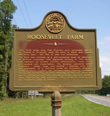
Roosevelt Farm
The farm was operated on a self-sustaining basis by adherence to methods consonant with practical farming in this section and emphasis on erosion control, reforestation, cover crops, and general soil conservation. The program embraced animal husbandry -- cattle, hogs, and poultry -- together with fruits and vegetables, as a practical model for Roosevelt’s neighbors. These products supplied the Georgia Warm Springs Foundation during the austerities of food rationing in the 2nd World War period. Having served their original purpose, the farm buildings were removed in 1959 and pine trees planted in keeping with the President’s love of forests.
Erected 1959 by Georgia Historical Commission. (Marker Number 099-5.)
Topics and series. This historical marker is listed in these topic lists: Agriculture • Horticulture & Forestry • War, World II. In addition, it is included in the Former U.S. Presidents: #32 Franklin D. Roosevelt, and the Georgia Historical Society series lists.
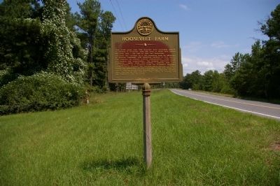
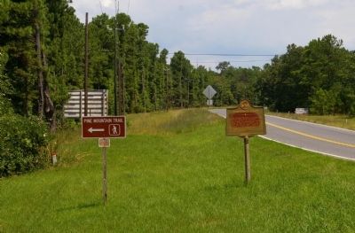
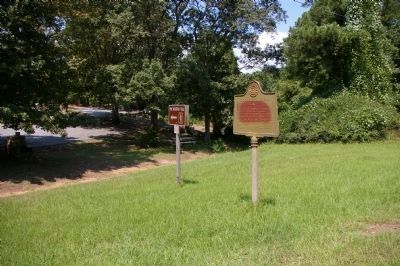
Location. 32° 51.117′ N, 84° 42.022′ W. Marker is near Warm Springs, Georgia, in Meriwether County. Marker is on White House Parkway (Georgia Route 85W) 0.1 miles north of Georgia Route 190, on the left when traveling north. Touch for map. Marker is in this post office area: Warm Springs GA 31830, United States of America. Touch for directions.
Other nearby markers. At least 8 other markers are within 3 miles of this marker, measured as the crow flies. Longleaf Pine Planting (approx. 0.2 miles away); Dowdell's Knob (approx. 2.2 miles away); Franklin Delano Roosevelt (approx. 2.2 miles away); The Little White House (approx. 2.2 miles away); This Was His Georgia (approx. 2.7 miles away); Franklin D. Roosevelt (approx. 2.7 miles away); Georgia Warm Springs Foundation (approx. 2.8 miles away); a different marker also named Franklin D. Roosevelt (approx. 2.8 miles away). Touch for a list and map of all markers in Warm Springs.
Credits. This page was last revised on January 4, 2020. It was originally submitted on September 6, 2009, by David Seibert of Sandy Springs, Georgia. This page has been viewed 1,251 times since then and 20 times this year. Photos: 1, 2, 3, 4. submitted on September 6, 2009, by David Seibert of Sandy Springs, Georgia. • Craig Swain was the editor who published this page.


