Donegal Township near Claysville in Washington County, Pennsylvania — The American Northeast (Mid-Atlantic)
Zion Church
Photographed by Bradley Owen, May 5, 2023
1. Zion Church Marker
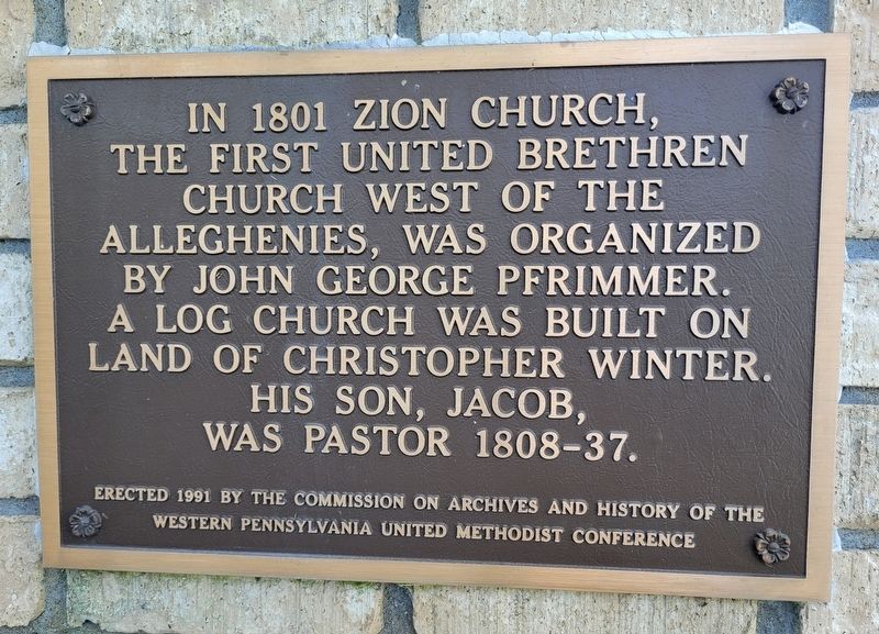
In 1801 Zion Church, the first United Brethren Church west of the Alleghenies, was organized by John George Pfrimmer. A log church was built on land of Christopher Winter. His son, Jacob, was pastor 1808-37.
Erected 1991 by The Commission on Archives and History of the Western Pennsylvania United Methodist Conference.
Topics. This historical marker is listed in this topic list: Religion & Religious Structures. A significant historical year for this entry is 1801.
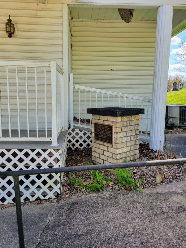
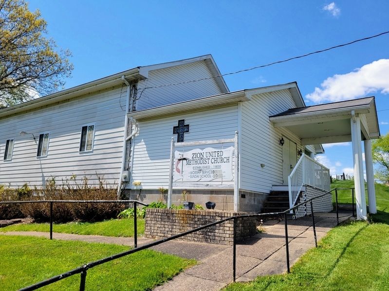
Location. 40° 10.279′ N, 80° 27.299′ W. Marker is near Claysville, Pennsylvania, in Washington County. It is in Donegal Township. It is on PA-231 (Pennsylvania Route 231) 0.2 miles south of Jansen Road (County Route 541), on the right when traveling south. The marker is located at the right of the entrance to Zion United Methodist Church. Touch for map. Marker is at or near this postal address: 1080 PA-231, Claysville PA 15323, United States of America. Touch for directions.

Regionally, this marker is in Greater Pittsburgh. It is also in the American Northeast, in the Mid-Atlantic, in Appalachia, and specifically in Northern Appalachia. Globally, it
this page online
Other nearby markers. At least 8 other markers are within 5 miles of this marker, measured as the crow flies: Revolutionary War Soldiers (a few steps from this marker); Mt. Hope United Presbyterian Church (approx. 3½ miles away); a different marker also named Revolutionary War Soldiers (approx. 3½ miles away); Rice’s Fort (approx. 3.6 miles away); Robert Barr (approx. 4.3 miles away); a different marker also named Revolutionary War Soldiers (approx. 4.3 miles away); Veterans Memorial (approx. 4.3 miles away); Montgomery House (approx. 4.4 miles away). Touch for a list and map of all markers in Claysville.
Photographed by Bradley Owen, May 5, 2023
2. Zion Church Marker
Photographed by Bradley Owen, May 5, 2023
3. Zion United Methodist Church
Credits. This page was last revised on May 12, 2023. It was originally submitted on May 7, 2023, by Bradley Owen of Morgantown, West Virginia. This page has been viewed 359 times since then and 27 times this year. Photos: 1, 2, 3. submitted on May 7, 2023, by Bradley Owen of Morgantown, West Virginia. • J. Makali Bruton was the editor who published this page.
