South Elmwood in Providence in Providence County, Rhode Island — The American Northeast (New England)
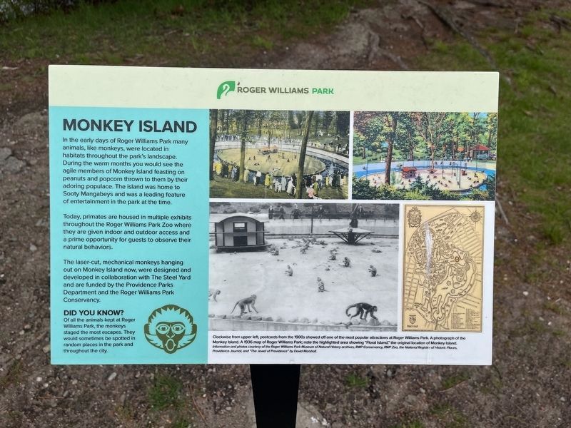
Monkey Island
Roger Williams Park
In the early days of Roger Williams Park many animals, like monkeys, were located in habitats throughout the park's landscape. During the warm months you would see the agile members of Monkey Island feasting on peanuts and popcorn thrown to them by their adoring populace. The island was home to Sooty Mangabeys and was a leading feature of entertainment in the park at the time.
Today, primates are housed in multiple exhibits throughout Roger Williams Park Zoo where they are given indoor and outdoor access and a prime opportunity for guests to observe their natural behaviors.
The laser-cut, mechanical monkeys hanging out on Monkey Island now, were designed and developed in collaboration with The Steel Yard and are funded by the Providence Parks Department and the Roger Williams Park Conservancy.
Did you know?
Of all the animals kept at Roger Williams Park, the monkeys staged the most escapes. They would sometimes be spotted in random places in the park and throughout the city.
[Captions:]
Clockwise from upper left, postcards from the 1900s showed off one of the most popular attractions at Roger Williams Park. A photograph of the Monkey Island. A 1936 map of Roger Williams Park; note the highlighted area showing "Floral Island," the original location of Monkey Island.
Information and photos courtesy of the Roger Williams Park Museum of Natural History archives, RWP Conservancy, RWP Zoo, the National Register of Historic Places, Providence Journal, and "The Jewel of Providence" by David Marshall.
Topics. This historical marker is listed in these topic lists: Animals • Entertainment • Parks & Recreational Areas. A significant historical year for this entry is 1936.
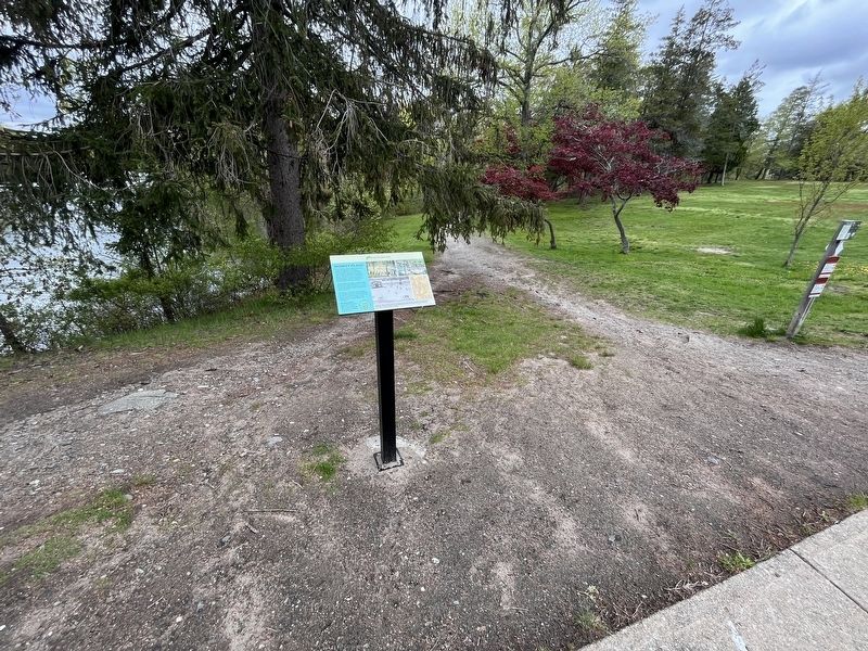
Location. 41° 47.004′ N, 71° 24.426′ W. Marker is in Providence, Rhode Island, in Providence County. It is in South Elmwood. Marker is on Floral Avenue south of Cladrastis Avenue, on the right when traveling south. Touch for map. Marker is at or near this postal address: 1 Floral Ave, Providence RI 02905, United States of America. Touch for directions.
Other nearby markers. At least 8 other markers are within walking distance of this marker. Botanical Center (a few steps from this marker); Marconi (approx. ¼ mile away); Dalrymple Boathouse (approx. ¼ mile away); Carousel (approx. 0.4 miles away); Museum of Natural History and Planetarium (approx. 0.4 miles away); Seal House (approx. 0.4 miles away); Sea Lions (approx. 0.4 miles away); Brigadier General Casimir Pulaski (approx. half a mile away). Touch for a list and map of all markers in Providence.
Credits. This page was last revised on May 7, 2023. It was originally submitted on May 7, 2023, by Devry Becker Jones of Washington, District of Columbia. This page has been viewed 99 times since then and 34 times this year. Photos: 1, 2. submitted on May 7, 2023, by Devry Becker Jones of Washington, District of Columbia.

