Randolph Township in Rising Sun in Ohio County, Indiana — The American Midwest (Great Lakes)
Rising Sun Airport
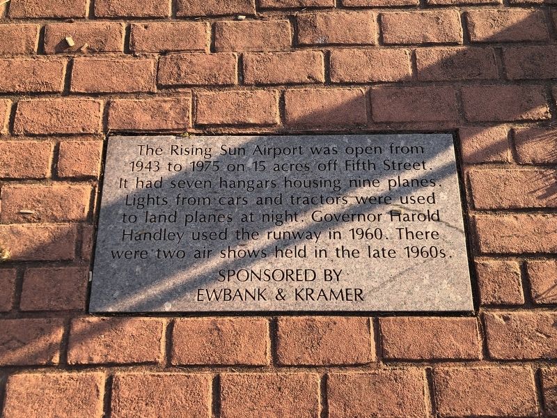
Photographed by Duane and Tracy Marsteller, April 29, 2023
1. Rising Sun Airport Marker
Erected by Ewbank & Kramer (sponsor).
Topics. This historical marker is listed in this topic list: Air & Space. A significant historical year for this entry is 1943.
Location. 38° 56.77′ N, 84° 51.139′ W. Marker is in Rising Sun, Indiana, in Ohio County. It is in Randolph Township. It is on South Front Street south of 2nd Street, on the left when traveling south. Marker is on the sidewalk along the riverfront. Touch for map. Marker is at or near this postal address: 210 S Front St, Rising Sun IN 47040, United States of America. Touch for directions.

Regionally, this marker is in Southern Indiana. It is also in the American Midwest, in the Ohio River Valley, and in the Corn Belt. Globally, it is in North America, the Western Hemisphere, the Western World, and the Anglosphere. Historically, it finds itself in what was once the
this page online
Other nearby markers. At least 8 other markers are within walking distance of this marker: Cass-Union Consolidated School (a few steps from this marker); Rising Sun Tornado (a few steps from this marker); 1937 Ohio River Flood (within shouting distance of this marker); Rising Sun Regatta (within shouting distance of this marker); Rising Sun Ohio County Consolidated High School (within shouting distance of this marker); “Hoosier Boy” (within shouting distance of this marker); Rising Sun Sesquicentennial (within shouting distance of this marker); Pilotless Plane (within shouting distance of this marker). Touch for a list and map of all markers in Rising Sun.
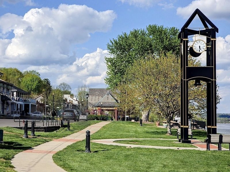
Photographed by Craig Baker
2. Historical Marker
The markers lay flat in the sidewalk.
Credits. This page was last revised on May 8, 2023. It was originally submitted on May 8, 2023, by Duane and Tracy Marsteller of Murfreesboro, Tennessee. This page has been viewed 235 times since then and 26 times this year. Photos: 1. submitted on May 8, 2023, by Duane and Tracy Marsteller of Murfreesboro, Tennessee. 2. submitted on June 30, 2024, by Craig Baker of Sylmar, California.
