Downtown Providence in Providence County, Rhode Island — The American Northeast (New England)
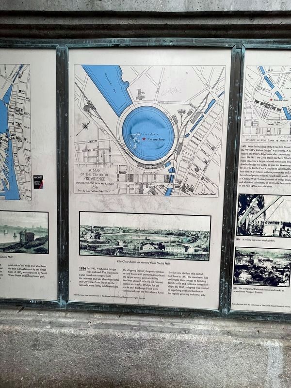
1856
In 1843, Weybosset Bridge was widened. The Blackstone Canal could not compete with the railroads and was abandoned after only 20 years of use. By 1847, the railroads were firmly established and the shipping industry began to decline. A cove basin with promenade replaced the larger natural cove and filled land was utilized to build the railroad station and tracks. Bridges for the tracks and Exchange Place were constructed over the Providence River.
By the time the last ship sailed to China in 1841, the merchants had redirected their energy to building textile mills and factories instead of ships. By 1856, shipping was limited to supplying coal and lumber to the rapidly growing industrial city.
Topics. This historical marker is listed in these topic lists: Bridges & Viaducts • Industry & Commerce • Railroads & Streetcars • Waterways & Vessels. A significant historical year for this entry is 1856.
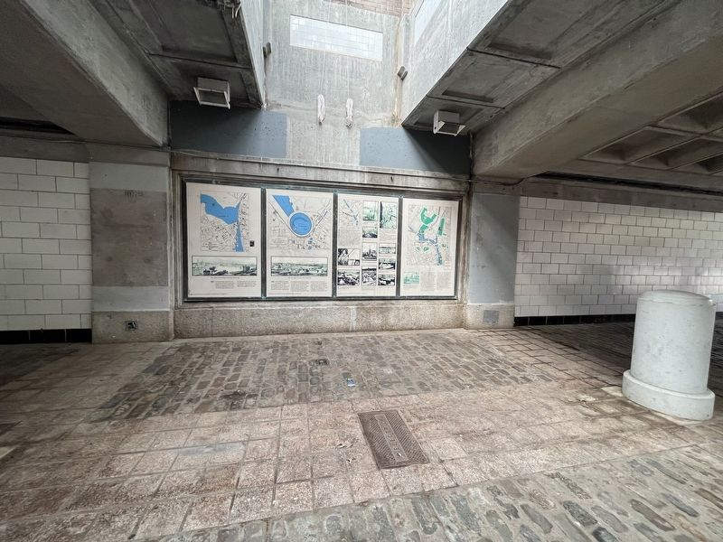
Location. 41° 49.583′ N, 71° 24.826′ W. Marker is in Providence, Rhode Island, in Providence County. It is in Downtown Providence. Marker can be reached from Memorial Boulevard west of Exchange Street. The marker is in the open-air tunnel below Memorial Boulevard. Touch for map. Marker is at or near this postal address: 5 Memorial Blvd, Providence RI 02903, United States of America. Touch for directions.
Other nearby markers. At least 8 other markers are within walking distance of this marker. 1873 - 1909 (here, next to this marker); 1982 / 1989 (here, next to this marker); 1832 (here, next to this marker); 1803 (a few steps from this marker); 1775 (a few steps from this marker); 1650 (a few steps from this marker); 1700 (a few steps from this marker); Wall of Hope (a few steps from this marker). Touch for a list and map of all markers in Providence.
Credits. This page was last revised on May 8, 2023. It was originally submitted on May 8, 2023, by Devry Becker Jones of Washington, District of Columbia. This page has been viewed 46 times since then and 9 times this year. Photos: 1, 2. submitted on May 8, 2023, by Devry Becker Jones of Washington, District of Columbia.

