Orinda Village District in Contra Costa County, California — The American West (Pacific Coastal)
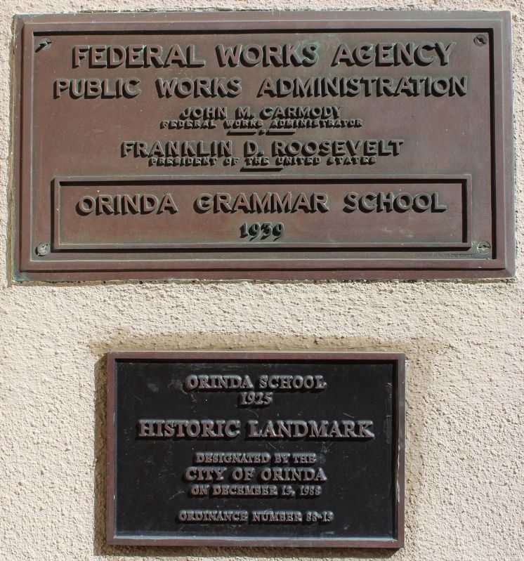
Orinda School
1925
Photographed by Joseph Alvarado, April 27, 2023
1. Orinda School Marker
Designated by the
City of Orinda
on December 13, 1988
Ordinance Number 88-13
Marker Two:
Public Works Administration
John M. Carmody
Federal Works Administrator
Franklin D. Roosevelt
President of the United States
Orinda Grammar School
1939
Erected 1988 by City of Orinda.
Topics. This historical marker is listed in this topic list: Education. A significant historical year for this entry is 1925.
Location. 37° 52.981′ N, 122° 11.276′ W. Marker is in Orinda, California, in Contra Costa County. It is in the Orinda Village District. It is on Orinda Way south of Irwin Way, on the left when traveling south. The plaques are mounted to the right of the front door to the building, now the Orinda Community Center. Touch for map. Marker is at or near this postal address: 28 Orinda Way, Orinda CA 94563, United States of America. Touch for directions.

Regionally, this marker is in California’s San Francisco Bay Area and on the Coast Ranges. It is also on the American Pacific Coast. Globally, it is in North America, on the Ring of Fire, in the Pacific Rim,
this page online
Other nearby markers. At least 8 other markers are within walking distance of this marker: 1925 Orinda Union School (within shouting distance of this marker); Did You Know that Orinda Once Had a Railroad? (about 300 feet away, measured in a direct line); Orinda Village (about 300 feet away); 1958 The Orinda Library (about 400 feet away); Community Park (about 500 feet away); Santa Maria Church Bell (about 600 feet away); 1923 Orinda Improvement Association (about 700 feet away); 1923 The Fire House (about 700 feet away). Touch for a list and map of all markers in Orinda.
Regarding Orinda School. Orinda Historic Landmark Designation:
"Portions of the Orinda Community Center ‐ The property is known as the Orinda Community Center, formerly the Orinda Union School, and is located on a 6.98 acre site at 26 Orinda Way, Orinda (APN: 260‐200‐005). The property boundaries are set forth more fully in Exhibit A of the ordinance. Portions of the site designated as a historic landmark include only the 1939 Community Center Building and extending north to the northern boundary of the parcel."
Also see . . . The Story of Orinda's Schools.
Photographed by Joseph Alvarado, April 27, 2023
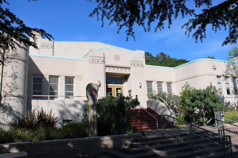
2. Orinda School & Marker
Photographed by Joseph Alvarado, April 27, 2023
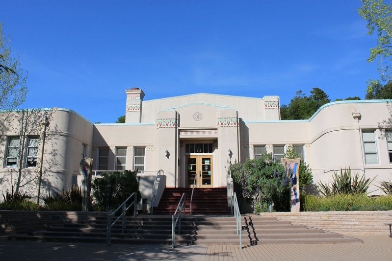
3. Orinda School (Now Community Center)
Credits. This page was last revised on May 8, 2023. It was originally submitted on May 8, 2023, by Joseph Alvarado of Livermore, California. This page has been viewed 341 times since then and 30 times this year. Photos: 1, 2, 3. submitted on May 8, 2023, by Joseph Alvarado of Livermore, California.
