Downtown Providence in Providence County, Rhode Island — The American Northeast (New England)
1873 - 1909
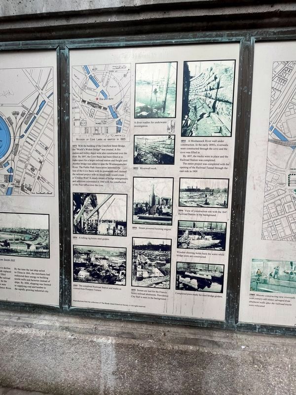
1873 With the building of the Crawford Street Bridge, the "World's Widest Bridge" was created. A fire station and trolley depot were also constructed over the river. By 1897, the Cove Basin had been filled in to make space for a larger railroad station and freight yard. Another bridge was added to span the Woonasquatucket River. The Public Park Association lamented the loss of the Cove Basin with its promenade and claimed the railroad project with its raised track would create a "Chinese Wall." A steady stream of bridge enlargements and additions culminated in 1940 with the construction of the Post Office over the river.
A diver readies for underwater investigation.
1893 Riverwall work.
1893 A Moshassuck River wall under construction. In the early 1890's, riverwalls were constructed through the cove and the cove was filled in.
By 1897, the track were in place and the Railroad Station was completed.
The entire project was completed with the opening of the Railroad Tunnel through the east side in 1909.
1894 A rolling rig hoists steel girders.
1894 Steam powered hoisting engines.
1894 View of construction site with the 1847 Railroad Station in the background.
Wooden sheeting holds back the water while bridge piers are constructed.
1895 Stones are laid for the Francis Street railroad abutments. Providence City Hall is seen in the background.
Completed piers ready for steel bridge girders.
1909 The completed Railroad Station and tracks as viewed from Prospect Terrace.
Topics. This historical marker is listed in these topic lists: Bridges & Viaducts • Railroads & Streetcars • Waterways & Vessels. A significant historical year for this entry is 1873.
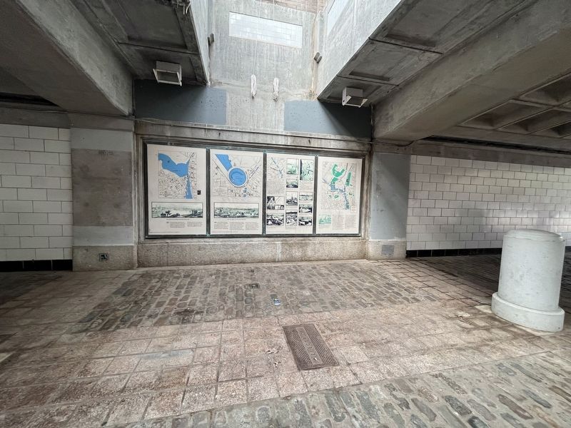
Location. 41° 49.583′ N, 71° 24.827′ W. Marker is in Providence, Rhode Island, in Providence County. It is in Downtown Providence. Marker can be reached from Memorial Boulevard west of Exchange Street. The marker is in the open-air tunnel under Memorial Boulevard. Touch for map. Marker is at or near this postal address: 5 Memorial Blvd, Providence RI 02903, United States of America. Touch for directions.
Other nearby markers. At least 8 other markers are within walking distance of this marker. 1982 / 1989 (here, next to this marker); 1856 (here, next to this marker); 1832 (here, next to this marker); 1775 (a few steps from this marker); 1803 (a few steps from this marker); 1650 (a few steps from this marker); Wall of Hope (a few steps from this marker); 1700 (a few steps from this marker). Touch for a list and map of all markers in Providence.
Credits. This page was last revised on May 8, 2023. It was originally submitted on May 8, 2023, by Devry Becker Jones of Washington, District of Columbia. This page has been viewed 51 times since then and 13 times this year. Photos: 1, 2. submitted on May 8, 2023, by Devry Becker Jones of Washington, District of Columbia.

