
Orinda Village District in Contra Costa County, California — The American West (Pacific Coastal)
The Conklin Hotel
1858
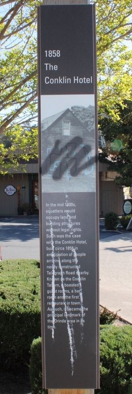
Photographed by Joseph Alvarado, April 27, 2023
1. The Conklin Hotel Marker
Topics. This historical marker is listed in this topic list: Notable Buildings. A significant historical year for this entry is 1858.
Location. 37° 52.835′ N, 122° 11.132′ W. Marker is in Orinda, California, in Contra Costa County. It is in the Orinda Village District. It is on Orinda Way south of Santa Maria Way, on the left when traveling south. The resin maker is mounted to a wood post at the north entrance to the foot bridge over the Highway 24 westbound on- and off-ramps. Touch for map. Marker is in this post office area: Orinda CA 94563, United States of America. Touch for directions.

Regionally, this marker is in California’s San Francisco Bay Area and on the Coast Ranges. It is also on the American
this page online
Other nearby markers. At least 8 other markers are within walking distance of this marker: The Santa Maria Chapel, 1892 (within shouting distance of this marker); The First Downtown (about 300 feet away, measured in a direct line); 1923 Orinda Improvement Association (about 400 feet away); 1958 The Orinda Library (about 700 feet away); The Crossroads (approx. 0.2 miles away); Orinda Mural (approx. 0.2 miles away); Bryant Station Site (approx. 0.2 miles away); Pony Express (approx. 0.2 miles away). Touch for a list and map of all markers in Orinda.
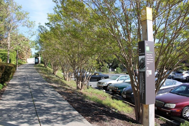
Photographed by Joseph Alvarado, April 27, 2023
2. The Conklin Hotel Marker
Credits. This page was last revised on May 8, 2023. It was originally submitted on May 8, 2023, by Joseph Alvarado of Livermore, California. This page has been viewed 393 times since then and 42 times this year. Photos: 1, 2. submitted on May 8, 2023, by Joseph Alvarado of Livermore, California.
