Wellfleet in Barnstable County, Massachusetts — The American Northeast (New England)
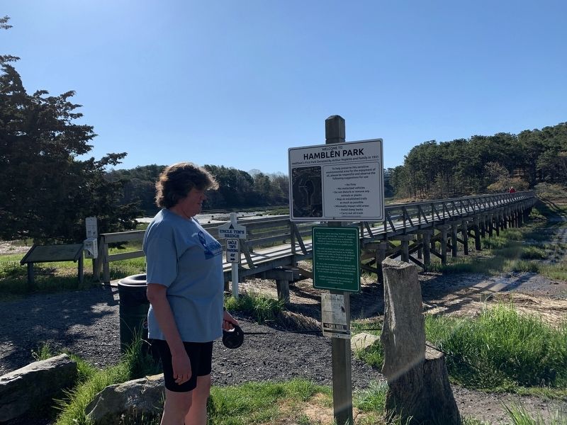
Hamblen Park
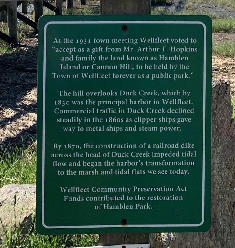
At the 1931 town meeting Wellfleet voted to "accept as a gift from Mr. Arthur T. Hopkins and family the land known as Hamblen Island or Cannon Hill, to be held by the Town of Wellfleet forever as a public park."
The hill overlooks Duck Creek, which by 1830 was the principal harbor in Wellfleet. Commercial traffic in Duck Creek declined steadily in the 1860s as clipper ships gave way to metal ships and steam power.
By 1870, the construction of a railroad dike across the head of Duck Creek impeded tidal flow and began the harbor's transformation to the marsh and tidal flats we see today.
Wellfleet Community Preservation Act Funds contributed to the restoration of Hamblen Park.
Topics. This historical marker is listed in this topic list: Parks & Recreational Areas. A significant historical year for this entry is 1931.
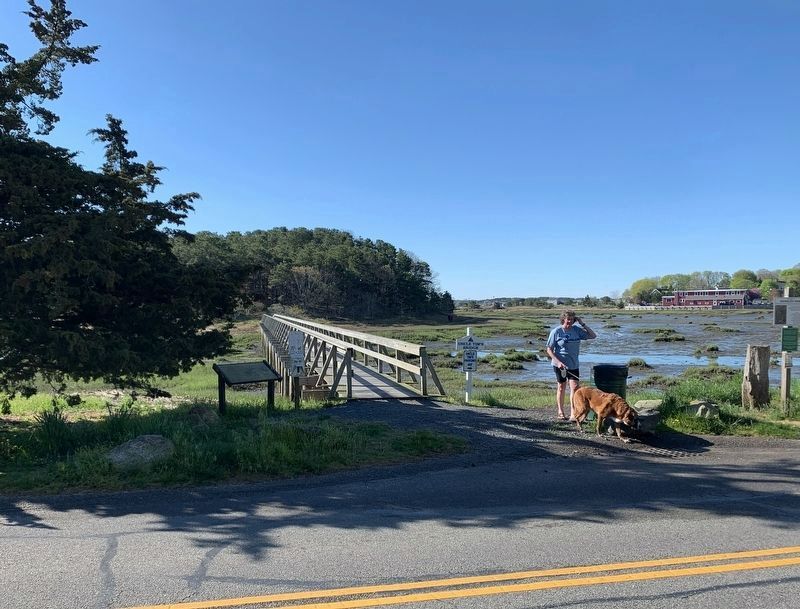
Location. 41° 56.263′ N, 70° 1.71′ W. Marker is in Wellfleet, Massachusetts, in Barnstable County. Marker is on East Commercial Street close to Whitís Lane, on the left when traveling east. Touch for map. Marker is at or near this postal address: 85 E Commercial St, Wellfleet MA 02667, United States of America. Touch for directions.
Other nearby markers. At least 8 other markers are within 7 miles of this marker, measured as the crow flies. Timothy Daniels House (a few steps from this marker); Transatlantic Wireless Telegraph Station (approx. 3.4 miles away); Guglielmo Marconi (approx. 3.4 miles away); The Outer Cape: Changing Faster Than Technology (approx. 3.4 miles away); Cape Cod National Sea Shore Marconi Beach (approx. 4.6 miles away); Ralph S. Barnaby (approx. 5.1 miles away); Sixteen Pilgrims (approx. 5.1 miles away); Three Sisters Lit the Way (approx. 6.6 miles away). Touch for a list and map of all markers in Wellfleet.
Also see . . .
1. Uncle Timís Pedestrian Bridge. (Submitted on May 9, 2023, by Steve Stoessel of Niskayuna, New York.)
2. Story of Hamblen Park. (Submitted on May 9, 2023, by Steve Stoessel of Niskayuna, New York.)
Credits. This page was last revised on May 9, 2023. It was originally submitted on May 9, 2023, by Steve Stoessel of Niskayuna, New York. This page has been viewed 73 times since then and 20 times this year. Photos: 1, 2, 3. submitted on May 9, 2023, by Steve Stoessel of Niskayuna, New York. • J. Makali Bruton was the editor who published this page.


