Near Four Oaks in Johnston County, North Carolina — The American South (South Atlantic)
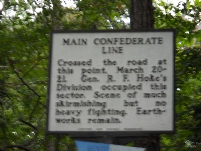
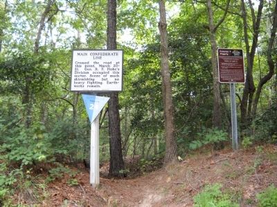
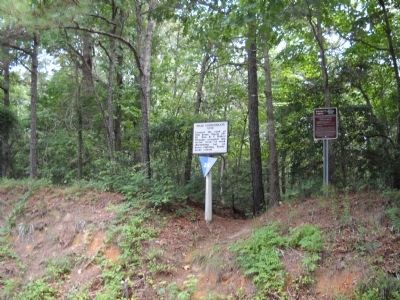
Main Confederate Line
Erected by Archives and Highway Commission. (Marker Number HHH-20.)
Topics and series. This historical marker is listed in this topic list: War, US Civil. In addition, it is included in the North Carolina Division of Archives and History series list. A significant historical date for this entry is March 20, 1865.
Location. 35° 19.572′ N, 78° 17.121′ W. Marker is near Four Oaks, North Carolina, in Johnston County. Marker is on Devils Racetrack Road (Local Route 1009), on the right when traveling north. The marker is located on the Bentonville Battlefield. Touch for map. Marker is at or near this postal address: 9646 Devils Racetrack Rd, Four Oaks NC 27524, United States of America. Touch for directions.
Other nearby markers. At least 8 other markers are within walking distance of this marker. Main Union Line (approx. ¼ mile away); Federal Junction (approx. 0.6 miles away); Sherman's Right Wing Arrives at Bentonville (approx. 0.6 miles away); March 20th— Johnston Remains on the Battlefield (approx. 0.6 miles away); Hardee’s Charge (approx. 0.8 miles away); Union Line - March 20 (approx. 0.8 miles away); The Battle Shifts East: Fighting on March 21 (approx. 0.8 miles away); "Uncle Billy" Comes to Bentonville (approx. 0.8 miles away). Touch for a list and map of all markers in Four Oaks.
Also see . . . Bentonville. CWSAC Battle Summaries website. (Submitted on August 20, 2010, by Bill Coughlin of Woodland Park, New Jersey.)
Credits. This page was last revised on May 13, 2023. It was originally submitted on August 20, 2010, by Bill Coughlin of Woodland Park, New Jersey. This page has been viewed 599 times since then and 8 times this year. Last updated on May 9, 2023, by Michael Buckner of Durham, North Carolina. Photos: 1, 2, 3. submitted on August 20, 2010, by Bill Coughlin of Woodland Park, New Jersey. • J. Makali Bruton was the editor who published this page.
Editor’s want-list for this marker. A clearer closeup photo of the marker. • Can you help?


