San Rafael in Marin County, California — The American West (Pacific Coastal)
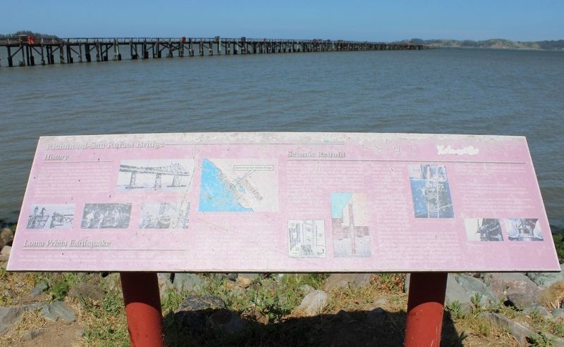
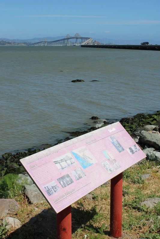
Richmond-San Rafael Bridge
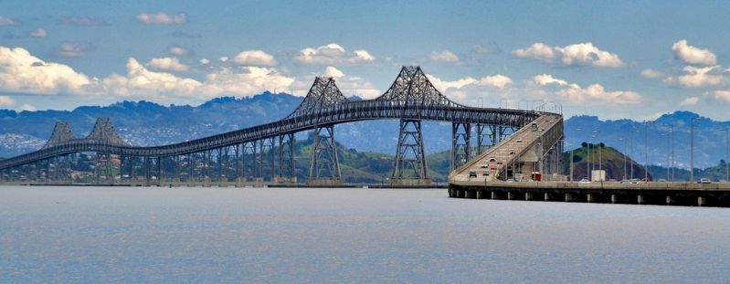
The Richmond-San Rafael Bridge opened to traffic in 1956, following 2 years of planning and design and 4 years of construction. At the time, its 4.5 mile-length and double-decker design made it one of the most complex bridges in the state and California’s longest steel structure. The bridge serves as a vital link between Marin and Contra Costa Counties. Today, over 75,000 commuters use the bridge daily to cross the northern end of the San Francisco Bay.
Loma Prieta Earthquake
On October 17, 1989, the Loma Prieta Earthquake jolted the Bay Area. The earthquake, which measured 7.1 on the Richter scale and lasted 15 seconds prompted a review of the seismic safety of all California bridges, including the Richmond-San Rafael Bridge.
The Richmond-San Rafael Bridge is sandwiched between the San Andreas Fault, located 10 miles to the west, and the Hayward Fault, located 4 miles to the east. A “no collapse criterion” was used for the seismic retrofit of the nearly 50 year old structure. Under this strategy, the bridge will withstand an earthquake of 7.25 magnitude on the Richter scale on the Hayward Fault and 8.0 magnitude on the San Andreas Fault.
Seismic Retrofit
The seismic retrofit of the Richmond-San Rafael Bridge involved strengthening all parts of the structure from the foundations and bridge deck to the steel towers and trestle. Retrofitting the foundations presented the most daunting challenge for the project. The strait is subject to strong currents, high winds, and low to no underwater visibility. Under these difficult conditions, workers installed large diameter piles in between the bell-shaped foundations of eleven of the bridge’s piers. Forty-seven bridge piers were retrofitted with micropiles, in which smaller diameter piles were drilled through the existing foundation. A total of 480 micropiles were installed throughout the structure.
Another challenging aspect of the retrofit involved modifications that allowed controlled movement of the structure during an earthquake. Viscous dampers were installed at the existing towers’ anchorages. In an earthquake, the dampers allow the bridge to expand or contract by as much as six feet. The action absorbs the earthquake’s energy preventing additional structural damage. Some of the bridge’s dampers are as large as a semi-truck, weighing two tons each. Isolation joints and bearing further strengthen the main bridge structure, and allow appropriate movement during an earthquake.
Topics. This historical marker is listed in these topic lists: Architecture • Bridges & Viaducts • Disasters. A significant historical year for this entry is 1956.
Location. 37° 56.647′ N, 122° 28.809′ W. Marker is in San Rafael, California, in Marin County. Marker is at the intersection of Francisco Boulevard East and Main Street, on the right when traveling north on Francisco Boulevard East. The resin marker is mounted to posts at the Richmond-San Rafael Bridge Scenic View. Touch for map. Marker is in this post office area: San Rafael CA 94901, United States of America. Touch for directions.
Other nearby markers. At least 8 other markers are within 4 miles of this marker, measured as the crow flies. Green Brae Brick Kiln (approx. 1.4 miles away); Greenbrae Brickyard Superintendent's Cottage (approx. 1.4 miles away); Golden Gate Ferry (approx. 1.6 miles away); Sir Francis Drake (approx. 1.6 miles away); The Golden Hind (approx. 1.6 miles away); East Brother Light Station (approx. 2.9 miles away); Tiburon's Railroad History (approx. 3.3 miles away); History of the Tiburon Trestle (approx. 3.3 miles away).
More about this marker. The marker suffers from significant weathering by the sun and salt air. The text and photos are difficult to see.
Also see . . . Richmond - San Rafael Bridge (John F. McCarthy Memorial Bridge). historicbridges.org
"This extremely long bridge is less famous than some of the bridges in the Bay Area, but this is somewhat unfair and does not reflect how impressive this historic bridge truly is."(Submitted on May 12, 2023, by Joseph Alvarado of Livermore, California.)
Credits. This page was last revised on May 12, 2023. It was originally submitted on May 12, 2023, by Joseph Alvarado of Livermore, California. This page has been viewed 200 times since then and 61 times this year. Photos: 1, 2, 3. submitted on May 12, 2023, by Joseph Alvarado of Livermore, California.


