Marker Logo
THE HISTORICAL
MARKER DATABASE
“Bite-Size Bits of Local, National, and Global History”
Near Chappell in Deuel County, Nebraska — The American Midwest (Upper Plains)
 

B-24J Bomber Crash
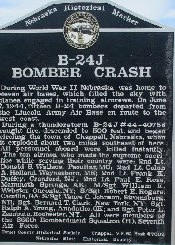
 
 
B-24J Bomber Crash Marker image. Click for full size.
Photographed by Rev. Ronald Irick, July 16, 2016
1. B-24J Bomber Crash Marker
Inscription. During World War II Nebraska was home to eleven air bases, which filled the sky with planes engaged in training aircrews. On June 7, 1944, fifteen B-24 bombers departed from the Lincoln Army Air Base en route to the west coast. During a thunderstorm B-24J #44-40758 caught fire, descended to 500 feet, and began circling the town of Chappell, Nebraska, when it exploded about two miles southeast of here. All personnel aboard were killed instantly. The ten airmen who made the supreme sacrifice while serving their country were: 2nd Lt. Donald S. Wallace, Peculiar, MO; 2nd Lt. Colon A. Holland, Waynesboro, MS; 2nd Lt. Frank K. Duffey, Cranford, NJ; 2nd Lt. Paul E. Rose, Mammoth Springs, AK; S/Sgt. Robert E. Rogers, Camilla, GA; S/Sgt. Vance C. Johnson, Stromsburg, NE; Sgt. Bernard T. Clark, New York, NY; Sgt. Ralph A. Young, Anadarko, OK; Sgt. Peter L. Zamboto, Rochester, NY; and M/Sgt. William E. Webster, Oneonta, NY. All were members of the 866th Bombardment Squadron (H), Seventh Air Force.
 
Erected by Nebraska Historical Society. (Marker Number 348.)
 
Topics and series. This memorial is listed in these topic lists:
Paid Advertisement
Click or scan to see
this page online
Air & SpaceDisastersWar, World II. In addition, it is included in the Nebraska State Historical Society series list. A significant historical date for this entry is June 7, 1944.
 
Location. 41° 5.029′ N, 102° 28.258′ W. Memorial is near Chappell, Nebraska, in Deuel County. It is at the intersection of State Highway 25A and County Route 165, on the right when traveling north on State Highway 25A. The marker is in the “Chappell Pony Express Park”, with multiple monuments at exit 85 off Interstate 80. Touch for map. Memorial is in this post office area: Chappell NE 69129, United States of America. Touch for directions.

Regionally, this memorial is in the Nebraska Panhandle. It is also in the American Midwest, in the Corn Belt, on the prairies, on the Great Plains, and specifically on the High Plains. Globally, it is in North America, the Western Hemisphere, the Western World, and the Anglosphere. Historically, it finds itself in what was once the Louisiana Purchase.

Other nearby markers. At least 8 other markers are within 10 miles of this marker, measured as the crow flies: Historic Lodgepole Creek Valley (a few steps from
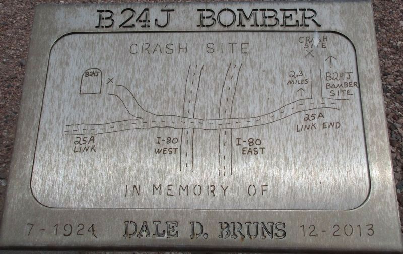
B-24J Bomber Crash Marker image. Click for full size.
Photographed by Rev. Ronald Irick, July 16, 2016
2. B-24J Bomber Crash Marker
Adjacent plaque
this marker); Yesteryear (approx. 0.6 miles away); Moments in History (approx. 0.6 miles away); Hughes’ Ranch Pony Express Station (approx. 3½ miles away); "Dinky" Locomotive (approx. 9.4 miles away in Colorado); Ovid, Colorado (approx. 9.6 miles away in Colorado); See and Do,Off the Byway (approx. 9.6 miles away in Colorado); Prisoners on the Plains / Ride 'Em Cowboy (approx. 9.6 miles away in Colorado). Touch for a list and map of all markers in Chappell.
 
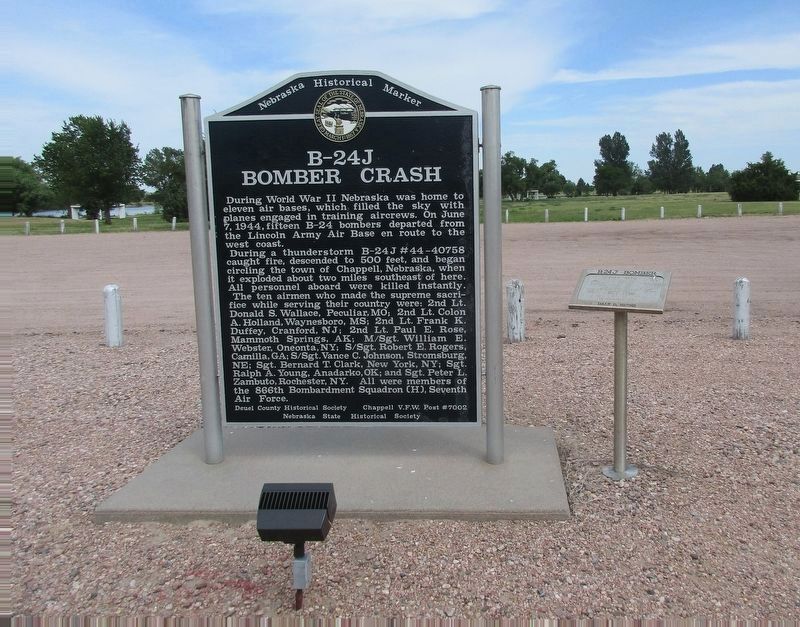
B-24J Bomber Crash Marker image. Click for full size.
Photographed by Rev. Ronald Irick, July 16, 2016
3. B-24J Bomber Crash Marker
Both markers are visible
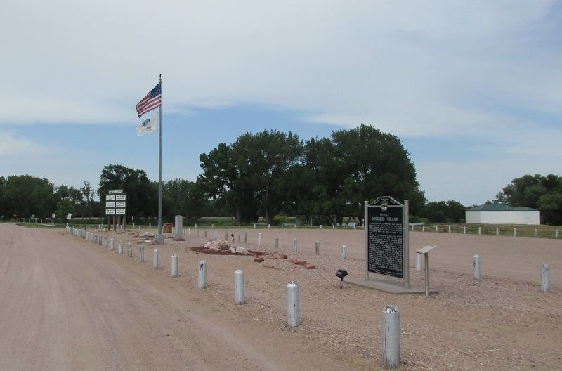
B-24J Bomber Crash Marker image. Click for full size.
Photographed by Rev. Ronald Irick, July 16, 2016
4. B-24J Bomber Crash Marker
Full view of the park site
B-24J Bomber model plane added to the memorial image. Click for full size.
Photographed by Mark Parker, June 27, 2024
5. B-24J Bomber model plane added to the memorial
 
 
Credits. This page was last revised on December 20, 2024. It was originally submitted on November 30, 2016, by Rev. Ronald Irick of West Liberty, Ohio. This page has been viewed 1,296 times since then and 46 times this year. Last updated on May 14, 2023, by Jeff Leichsenring of Garland, Texas. Photos:   1, 2, 3, 4. submitted on November 30, 2016, by Rev. Ronald Irick of West Liberty, Ohio.   5. submitted on July 27, 2024, by Mark Parker of Hickory, North Carolina. • J. Makali Bruton was the editor who published this page.

m=223444

CeraNet Cloud Computing sponsors the Historical Marker Database.
This website earns income from purchases you make after using our links to Amazon.com. We appreciate your support.
Paid Advertisement
Aug. 19, 2026