Fremont in Dodge County, Nebraska — The American Midwest (Upper Plains)
Fremont, Nebraska
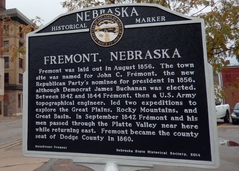
Photographed by Cosmos Mariner, August 10, 2017
1. Fremont, Nebraska Marker
Erected 2014 by Nebraska State Historical Society, and MainStreet Fremont. (Marker Number 502.)
Topics and series. This historical marker is listed in these topic lists: Exploration • Settlements & Settlers. In addition, it is included in the Nebraska State Historical Society series list.
Location. 41° 26.024′ N, 96° 29.837′ W. Marker is in Fremont, Nebraska, in Dodge County. It is at the intersection of North Park Avenue and East 5th Street, on the right when traveling north on North Park Avenue. The marker is located beside the sidewalk at the southeast corner of the
this page online

Regionally, this marker is in Eastern Nebraska and in Greater Omaha. It is also in the American Midwest, in the Corn Belt, and on the prairies. Globally, it is in North America, the Western Hemisphere, the Western World, and the Anglosphere. Historically, it finds itself in what was once the Louisiana Purchase.
Other nearby markers. At least 8 other markers are within 5 miles of this marker, measured as the crow flies: Fremont's First City-Owned Parking Lot (here, next to this marker); Dodge County Veterans Memorial (a few steps from this marker); Union Depot (about 300 feet away, measured in a direct line); Hotel Pathfinder (about 600 feet away); Mormon Pioneer Trail (approx. 0.4 miles away); Pawnee Villages (approx. 2.4 miles away); The Great Platte River Route West (approx. 3.9 miles away); Old Indian Trail (approx. 4.3 miles away). Touch for a list and map of all markers in Fremont.
Another marker is no longer nearby. Overland Emigrant Trails (was approx. 0.2 miles away but has been
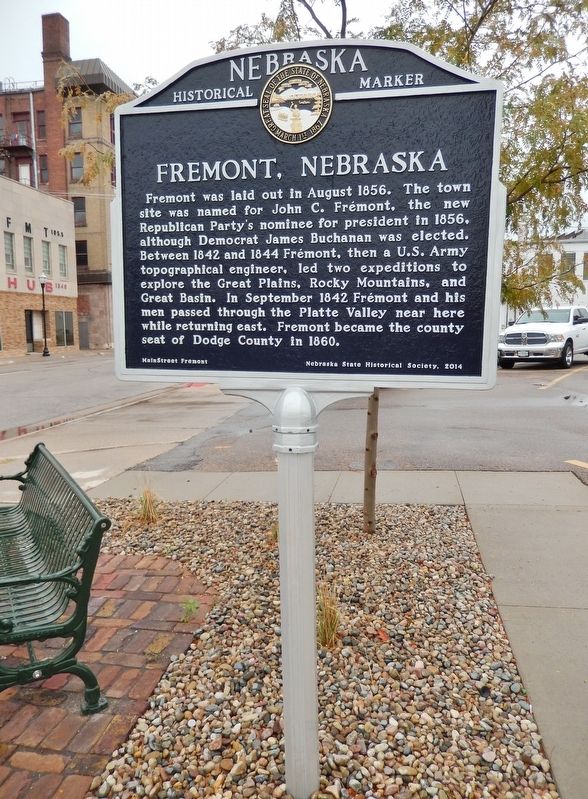
Photographed by Cosmos Mariner, August 10, 2017
2. Fremont, Nebraska Marker
Also see . . .
1. Fremont, Nebraska (Wikipedia). From the 1830s to the 1860s, the area saw a great deal of traffic due to the Mormon Trail, which passed along the north bank of the Platte River. Due to the town's geographically central location, the First Transcontinental Telegraph line (1861), railroad (1865) and highway (1913) passed through or very near Fremont. (Submitted on October 31, 2020, by Cosmos Mariner of Cape Canaveral, Florida.)
2. John C. Frémont (Wikipedia). John Charles Frémont was an American explorer, military officer, and politician. A series of seven maps produced from his explorations, published by the Senate in 1846, served as a guide for thousands of American emigrants, depicting the entire length of the Oregon Trail. He was a U.S. Senator from California, and in 1856 was the first Republican nominee for President of the United States. He was the 5th Governor of Arizona Territory (1878-1881). (Submitted on October 31, 2020, by Cosmos Mariner of Cape Canaveral, Florida.)
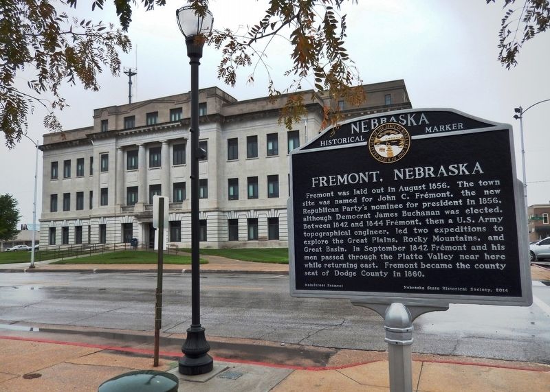
Photographed by Cosmos Mariner, August 10, 2017
3. Fremont, Nebraska Marker
Credits. This page was last revised on May 15, 2023. It was originally submitted on October 30, 2020, by Cosmos Mariner of Cape Canaveral, Florida. This page has been viewed 1,180 times since then and 95 times this year. Last updated on May 14, 2023, by Jeff Leichsenring of Garland, Texas. Photos: 1, 2, 3. submitted on October 31, 2020, by Cosmos Mariner of Cape Canaveral, Florida. • J. Makali Bruton was the editor who published this page.
