Raymond in Lancaster County, Nebraska — The American Midwest (Upper Plains)
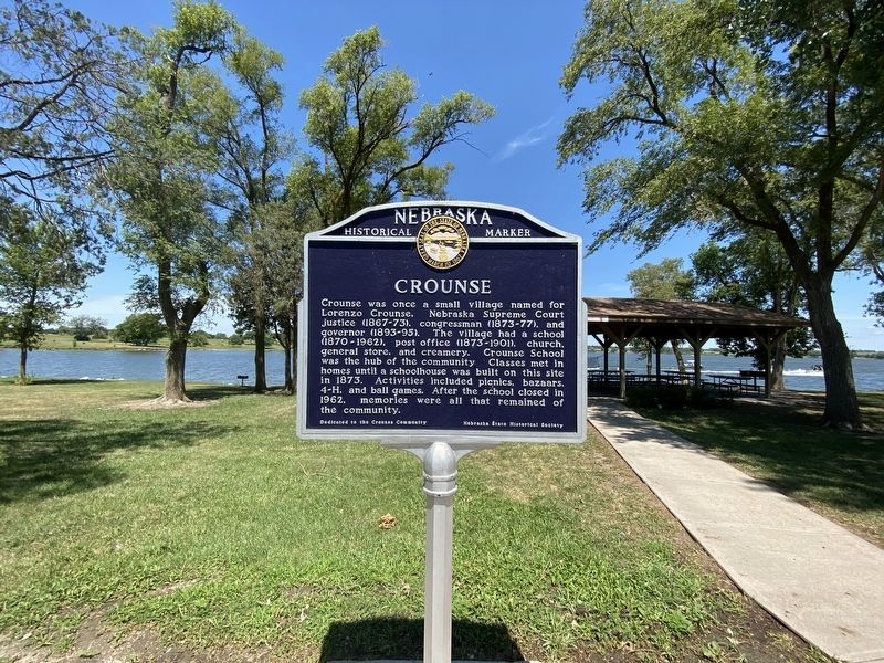
Crounse
Erected by Nebraska State Historical Society. (Marker Number 432.)
Topics. This historical marker is listed in these topic lists: Education • Settlements & Settlers.
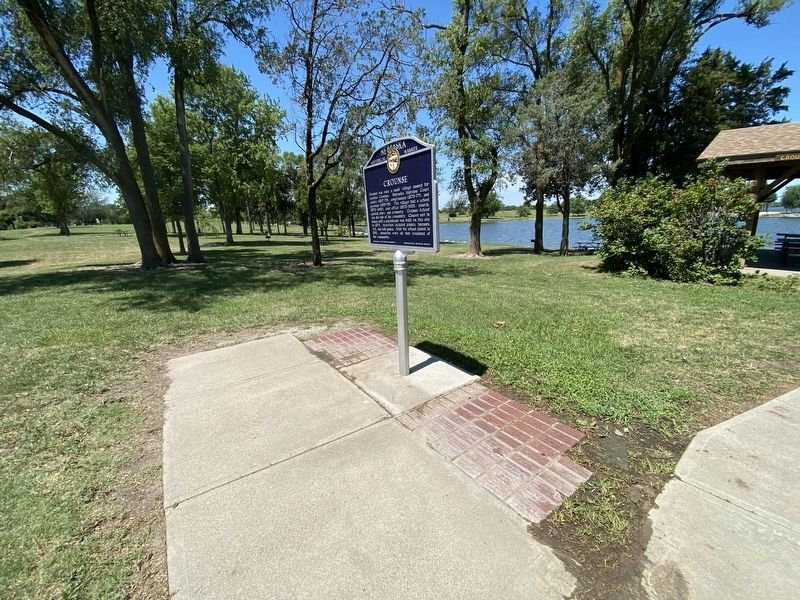
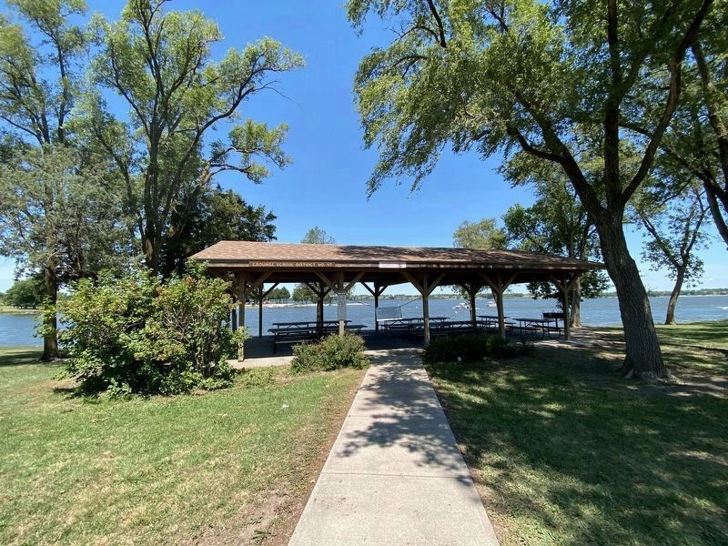
Location. 40° 58.395′ N, 96° 52.705′ W. Marker is in Raymond, Nebraska, in Lancaster County. Marker can be reached from West Branched Oak Road, half a mile east of North 126th Street, on the right when traveling east. The marker is located at the Branched Oak State Recreation Area, in Area 6. Touch for map. Marker is at or near this postal address: 12000 West Branched Oak, Raymond NE 68428, United States of America. Touch for directions.
Other nearby markers. At least 8 other markers are within 14 miles of this marker, measured as the crow flies. Lincoln Army Air Field - Lincoln Air Force Base (approx. 9.1 miles away); Lincoln Army Air Field Regimental Chapel (approx. 9.1 miles away); Osborne Athletic Complex (approx. 13.8 miles away); "America's Mission" (approx. 13.8 miles away); Hardy Building (approx. 14 miles away); Humane Society Fountain (approx. 14 miles away); Lincoln Hide & Fur Building (approx. 14 miles away); Seaton and Lea Ironworks (approx. 14 miles away).
Credits. This page was last revised on May 15, 2023. It was originally submitted on July 24, 2022, by J.T. Lambrou of New Boston, Michigan. This page has been viewed 218 times since then and 19 times this year. Last updated on May 14, 2023, by Jeff Leichsenring of Garland, Texas. Photos: 1, 2, 3. submitted on July 24, 2022, by J.T. Lambrou of New Boston, Michigan. • J. Makali Bruton was the editor who published this page.


