Near Plains in Sumter County, Georgia — The American South (South Atlantic)
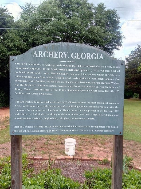
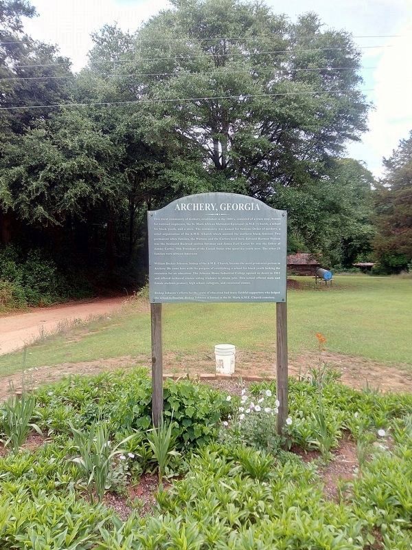
Archery, Georgia
This rural community of Archery, established in the 1800’s, consisted of a train stop, houses of railroad employees, the St. Mark African Methodist Episcopal (A.M.E.) Church, a school for black youth, and a store. The community was named for Sublime Order of Archery, a relief organization of the A.M.E. Church which assisted the southern black families. Two permanent white families, the Watsons and the Carters, lived here. Edward Herman Watson was the Seaboard Railroad section foreman and James Earl Carter, Sr., was the father of Jimmy Carter, 39th president of the United States who spent his youth here. The other 25 families were African-American.
William Decker Johnson, bishop of the A.M.E. Church, became the most prominent person in Archery. He came here with the purpose of establishing a school for black youth lacking the resources for an education. The Johnson Home Industrial College opened its doors in 1912 and offered technical classes aiding students to obtain jobs. This school offered male and female students primary, high school, collegiate, and vocational classes.
Bishop Johnson’s efforts for the cause of education had many faithful supporters who helped the school to flourish. Bishop Johnson is buried in the St. Mark A.M.E. Church cemetery.
Topics and series. This historical marker is listed in these topic lists: African Americans • Charity & Public Work • Education • Settlements & Settlers. In addition, it is included in the African Methodist Episcopal (AME) Church, and the Former U.S. Presidents: #39 James Earl "Jimmy" Carter, Jr. series lists. A significant historical year for this entry is 1912.
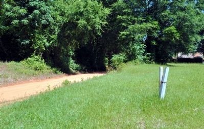
Location. 32° 1.743′ N, 84° 26.5′ W. Marker is near Plains, Georgia, in Sumter County. Marker is on Bishop Johnson Circle (County Route 61) near Old Plains Highway, on the right when traveling west. Touch for map. Marker is in this post office area: Plains GA 31780, United States of America. Touch for directions.
Other nearby markers. At least 8 other markers are within walking distance of this marker. Jimmy Carter's Boyhood Farm / From Here To Plains (approx. half a mile away); Jimmy Carter Slept Here (approx. half a mile away); Always a Reckoning (approx. half a mile away); The Earl and Lillian Carter Home (approx. half a mile away); Tennis Court (approx. half a mile away); Winds of Change (approx. half a mile away); The Carter Family Garden (approx. half a mile away); Legacy of an Outdoor Childhood (approx. 0.6 miles away). Touch for a list and map of all markers in Plains.
More about this marker. The marker was erected in the 1990s and disappeared for some time, but is present in 2023.
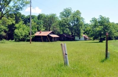
Regarding Archery, Georgia. The Jimmy Carter Boyhood Farm, now part of the Jimmy Carter National Historic Site, is approximately one-quarter mile east of the marker.
Credits. This page was last revised on June 5, 2023. It was originally submitted on June 24, 2012, by David Seibert of Sandy Springs, Georgia. This page has been viewed 854 times since then and 37 times this year. Last updated on May 15, 2023, by James L.Whitman of Eufaula, Alabama. Photos: 1, 2. submitted on May 15, 2023, by James L.Whitman of Eufaula, Alabama. 3, 4, 5. submitted on June 24, 2012, by David Seibert of Sandy Springs, Georgia. • J. Makali Bruton was the editor who published this page.
