Sherman in Grayson County, Texas — The American South (West South Central)
Washington Iron Works, Inc.
Photographed by Jeff Leichsenring, May 15, 2023
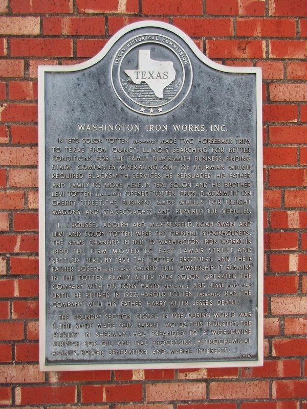
1. Washington Iron Works, Inc. Marker
L.L. Roussel, Adolph and Max Seisfeld, Noah Swain and Levi and Solon Totten were the original stockholders. The name changed in 1881 to "Washington Iron Works". In 1890 the firm moved to East Lamar Street and settled here. By 1893 the Totten brothers and their father Joseph (1821-1906) gained full ownership. It remains in the Totten family. After 1904 Solon operated the company with his sons Harry (1877-1964) and Jesse (1880-1946) until he retired in 1922. Harold Totten (1900-1969) ran the company with his father Harry after Jesse's death.
The foundry section closed in 1938. During World War II, the shop made gun barrel molds. This industry,
this page online
Erected 1978 by Texas Historical Commission. (Marker Number 11552.)
Topics. This historical marker is listed in this topic list: Industry & Commerce.
Location. 33° 38.171′ N, 96° 36.355′ W. Marker is in Sherman, Texas, in Grayson County. It is at the intersection of East Lamar Street (Texas Route 56) and South Branch Street, on the right when traveling east on East Lamar Street. Touch for map. Marker is at or near this postal address: 318 E Lamar Street, Sherman TX 75090, United States of America. Touch for directions.

Regionally, this marker is in the Prairies & Lakes Region. It is also in the American South. Globally, it is in North America, a Gulf of Mexico state, the Western Hemisphere, the Western World, and the Anglosphere. Historically, it finds itself in what was once New Spain, the Republic of Texas, one of the Confederate States of America, and the Antebellum South.
Other nearby markers. At least 8 other markers
Photographed by Jeff Leichsenring, May 15, 2023
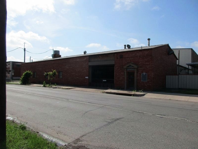
2. Washington Iron Works, Inc. Marker

February 24, 2026
3. Washington Iron Works, Inc. Marker
Credits. This page was last revised on February 28, 2026. It was originally submitted on May 16, 2023, by Jeff Leichsenring of Garland, Texas. This page has been viewed 450 times since then and 98 times this year. Photos: 1, 2. submitted on May 16, 2023, by Jeff Leichsenring of Garland, Texas. 3. submitted on February 24, 2026. • James Hulse was the editor who published this page.
