Weslaco in Hidalgo County, Texas — The American South (West South Central)
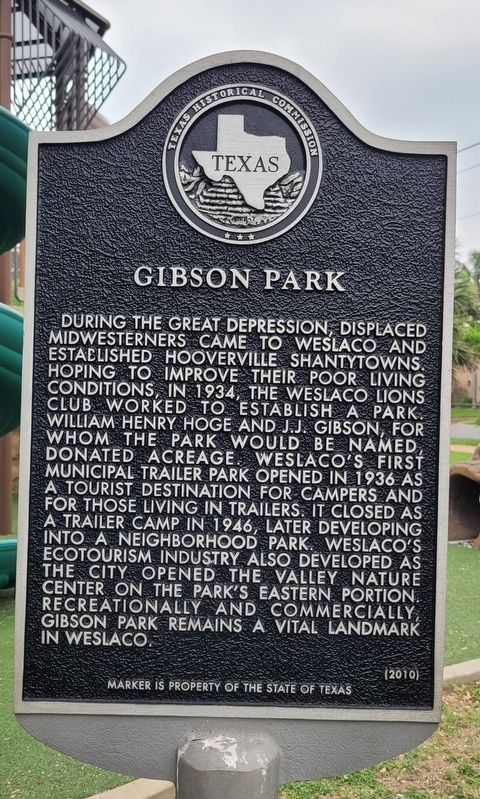
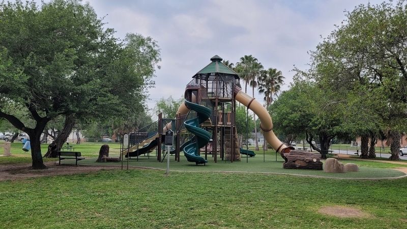
Gibson Park
Erected 2010 by Texas Historical Commission. (Marker Number 16344.)
Topics. This historical marker is listed in this topic list: Parks & Recreational Areas. A significant historical year for this entry is 1934.
Location. 26° 9.512′ N, 97° 59.905′ W. Marker is in Weslaco, Texas, in Hidalgo County. Marker is at the intersection of West 3rd Street and South Border Avenue, on the right when traveling east on West 3rd Street. The marker is located on the western section of the Gibson Park. Touch for map. Marker is in this post office area: Weslaco TX 78596, United States of America. Touch for directions.
Other nearby markers. At least 8 other markers are within walking distance of this marker. First Christian Church of Weslaco (approx. 0.4 miles away); Cortez Hotel (approx. half a mile away); Texsun Corporation (approx. half a mile away); Weslaco (approx. half a mile away); Weslaco City Hall (approx. half a mile away); Weslaco Water Tower (approx. 0.6 miles away); First Baptist Church of Weslaco (approx. 0.6 miles away); First United Methodist Church (approx. 0.6 miles away). Touch for a list and map of all markers in Weslaco.
Also see . . . Hooverville. Wikipedia
A "Hooverville" was a shanty town built during the Great Depression by the homeless in the United States. They were named after Herbert Hoover, who was President of the United States during the onset of the Depression and was widely blamed for it. The term was coined by Charles Michelson.[1] There were hundreds of Hoovervilles across the country during the 1930s.(Submitted on May 17, 2023, by James Hulse of Medina, Texas.)
Credits. This page was last revised on May 17, 2023. It was originally submitted on May 16, 2023, by James Hulse of Medina, Texas. This page has been viewed 143 times since then and 50 times this year. Photos: 1, 2. submitted on May 17, 2023, by James Hulse of Medina, Texas.

