Huntleigh Park in Fayetteville in Onondaga County, New York — The American Northeast (Mid-Atlantic)
Fayetteville
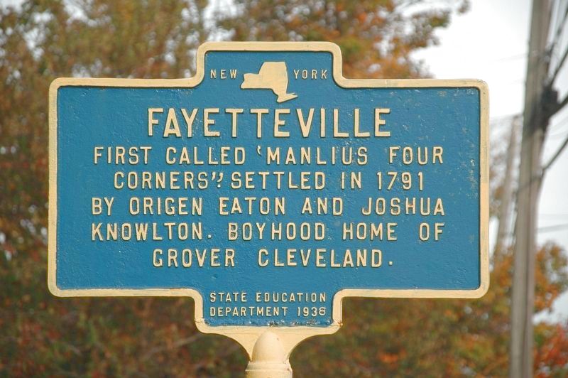
Photographed by Howard C. Ohlhous, October 21, 2017
1. Fayetteville Marker
Corners'; Settled in 1791
by Origen Eaton and Joshua
Knowlton. Boyhood home of
Grover Cleveland
Erected 1938 by New York State Education Department.
Topics and series. This historical marker is listed in this topic list: Settlements & Settlers. In addition, it is included in the Former U.S. Presidents: #22 and #24 Grover Cleveland series list. A significant historical year for this entry is 1791.
Location. 43° 1.877′ N, 75° 59.746′ W. Marker is in Fayetteville, New York, in Onondaga County. It is in Huntleigh Park. It is on East Genesee Street (New York State Route 5), on the right when traveling west. Touch for map. Marker is at or near this postal address: 607 Rte 5, Fayetteville NY 13066, United States of America. Touch for directions.

Regionally, this marker is in Upstate New York, specifically in Central New York, and in the Syracuse Metropolitan Area. It is also in the American Northeast and in the Mid-Atlantic. Globally, it is in North America, on the Great Lakes, in the Western Hemisphere, in the Western World, and in the Anglosphere. Historically, it finds
this page online
Other nearby markers. At least 8 other markers are within 3 miles of this marker, measured as the crow flies: Civil War Memorial (approx. half a mile away); Grover Cleveland (approx. 0.6 miles away); Matilda Joslyn Gage (approx. 0.7 miles away); Matilda Joslyn Gage Home (approx. 0.7 miles away); The Erie Canal - Canvass White (approx. 1.6 miles away); The Erie Route West (approx. 1.6 miles away); State Troopers (approx. 1.9 miles away); The First School House (approx. 2.2 miles away). Touch for a list and map of all markers in Fayetteville.
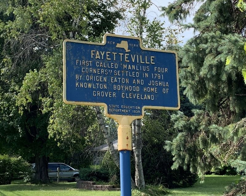
Photographed by Steve Stoessel, September 14, 2019
2. Fayetteville Marker
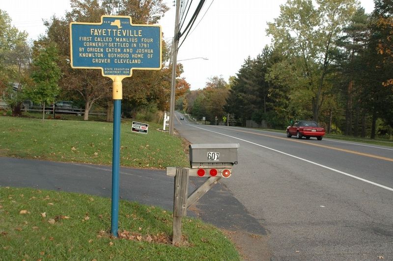
Photographed by Howard C. Ohlhous, October 21, 2017
3. Fayetteville Marker
Credits. This page was last revised on May 19, 2023. It was originally submitted on September 14, 2019, by Steve Stoessel of Niskayuna, New York. This page has been viewed 765 times since then and 40 times this year. Last updated on May 17, 2023, by Carl Gordon Moore Jr. of North East, Maryland. Photos: 1. submitted on November 16, 2019, by Howard C. Ohlhous of Duanesburg, New York. 2. submitted on September 14, 2019, by Steve Stoessel of Niskayuna, New York. 3. submitted on November 16, 2019, by Howard C. Ohlhous of Duanesburg, New York. • J. Makali Bruton was the editor who published this page.
