Rock Canyon in Provo in Utah County, Utah — The American Mountains (Southwest)
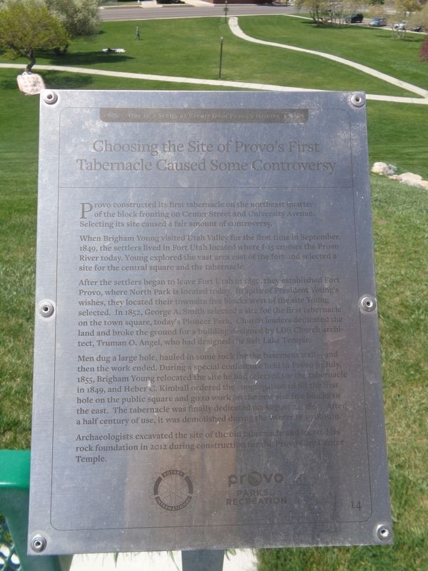
Choosing the Site of Provo’s First Tabernacle Caused Some Controversy
One in a Series of Events from Provo's History
Photographed by Jason Voigt, May 9, 2023
1. Choosing the Site of Provo’s First Tabernacle Caused Some Controversy Marker
When Brigham Young visited Utah Valley for the first time in September, 1849, the settlers lived in Fort Utah located where I-15 crosses the Provo River today. Young explored the vast area easy of the fort and selected a site for the central square and tabernacle.
After the settlers began to leave Fort Utah in 1850, they established Fort Provo, where North Park is located today. In spite of President Young’s wishes they located their townsite five blocks west of the site Young selected. In 1852, George A. Smith selected a site for the first tabernacle on the town square, today’s Pioneer Park. Church leaders dedicated the land and broke the ground for a building designed by LDS Church architect, Truman O. Angel, who had designed the Salt Lake Temple.
Men dug a large hole, hauled in some rock for the basement wall–and then the work ended. During a special conference held in Provo in July, 1855, Brigham Young relocated the site he had
this page online
Archaeologists excavated the site of the old tabernacle and located it’s rock foundation in 2012 during construction for the Provo City Center Temple.
Erected by Rotary International and Provo Parks & Recreation. (Marker Number 14.)
Topics and series. This historical marker is listed in these topic lists: Forts and Castles • Religion & Religious Structures • Settlements & Settlers. In addition, it is included in the Rotary International series list. A significant historical month for this entry is July 1855.
Location. 40° 16.044′ N, 111° 38.205′ W. Marker is in Provo, Utah, in Utah County. It is in Rock Canyon. It is on North 1200 East south of East 2620 North. Marker is located at Rock Canyon Park. Touch for map. Marker is at or near this postal address: 2620 N 1200 E, Provo UT 84604, United States of America.
Photographed by Jason Voigt, May 9, 2023
2. Choosing the Site of Provo’s First Tabernacle Caused Some Controversy Marker
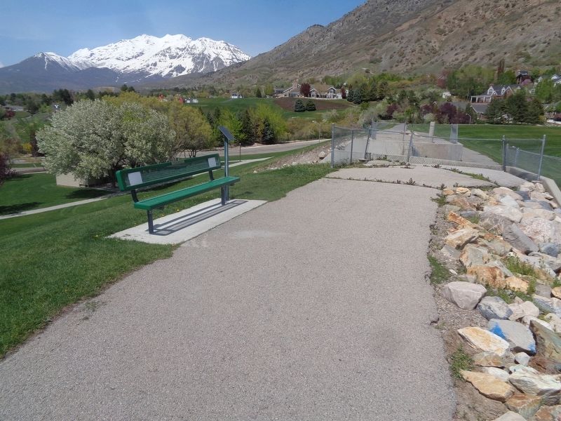
Marker is located at Rock Canyon Park.

Regionally, this marker is in Utah’s Wasatch Front. It is also in the American Mountain West and on the Colorado Plateau. Globally, it is in North America, the Rocky Mountains, the Western Hemisphere, the Western World, and the Anglosphere. Historically, it finds itself in what was once New Spain and also Mexico’s Alta California.
Other nearby markers. At least 8 other markers are within walking distance of this marker: Provo’s First Bank was Late in Coming but Didn’t Last Long (within shouting distance of this marker); Proctor Academy Helped Educate Provo’s Youth (within shouting distance of this marker); Carp Not Native to Utah Lake; Introduced in 1882 (within shouting distance of this marker); Provo Had a “Pest House” for Those with Communicable Diseases (about 300 feet away, measured in a direct line); Provo’s North Park Had a Community Ice Skating Rink in the 1930s (about 400 feet away); Army Troops Caused the “Provo Riot” in 1870 (about 400 feet away); Creating the “Y” on the Mountain (about 400 feet away); Rock Canyon Trailhead History (approx. 0.4 miles away). Touch for a list and map of all markers in Provo.
Credits. This page was last revised on May 18, 2023. It was originally submitted on May 18, 2023, by Jason Voigt of Glen Carbon, Illinois. This page has been viewed 446 times since then and 37 times this year. Photos: 1, 2. submitted on May 18, 2023, by Jason Voigt of Glen Carbon, Illinois.
