Maeser in Provo in Utah County, Utah — The American Mountains (Southwest)
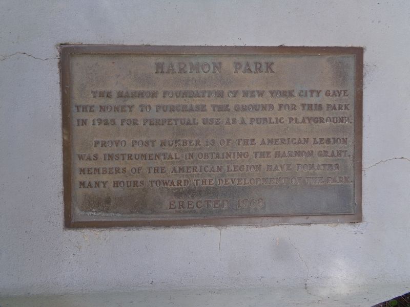
Harmon Park
Provo Post Number 13 of the American Legion was instrumental in obtaining the Harmon grant, members of the American Legion have donated many hours toward the development of the park.
Erected 1968.
Topics. This historical marker is listed in these topic lists: Charity & Public Work • Parks & Recreational Areas. A significant historical year for this entry is 1925.
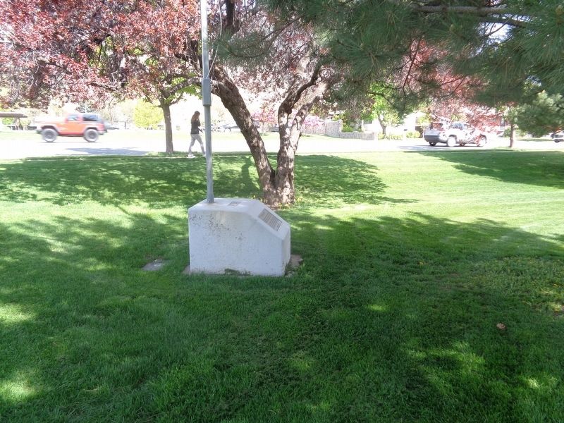
Location. 40° 13.9′ N, 111° 38.584′ W. Marker is in Provo, Utah, in Utah County. It is in Maeser. Marker is at the intersection of South 900 East Street and East 150 South, on the right when traveling south on South 900 East Street. Marker is located at the northeastern corner of Harmon Park. Touch for map. Marker is at or near this postal address: 167 S 900 E St, Provo UT 84606, United States of America. Touch for directions.
Other nearby markers. At least 8 other markers are within walking distance of this marker. Utah Territorial Insane Asylum Came to Provo in 1885 (approx. 0.2 miles away); Dr. Barney Clark (approx. 0.2 miles away); Provo’s First Jail Was Built in 1871 (approx. 0.2 miles away); Superintendent's Residence - Utah State Hospital (approx. ¼ mile away); A Tragedy at the Site of the Provo Lime Kiln (approx. ¼ mile away); Fire Destroys Brigham Young Academy Building (approx. ¼ mile away); A Wheelbarrow Parade in 1888 Helped Bring Political Parties to Provo (approx. ¼ mile away); Early Residents of Provo lacked Land Titles (approx. ¼ mile away). Touch for a list and map of all markers in Provo.
Credits. This page was last revised on May 18, 2023. It was originally submitted on May 18, 2023, by Jason Voigt of Glen Carbon, Illinois. This page has been viewed 61 times since then and 10 times this year. Photos: 1, 2, 3. submitted on May 18, 2023, by Jason Voigt of Glen Carbon, Illinois.


