
Provost South in Utah County, Utah — The American Mountains (Southwest)
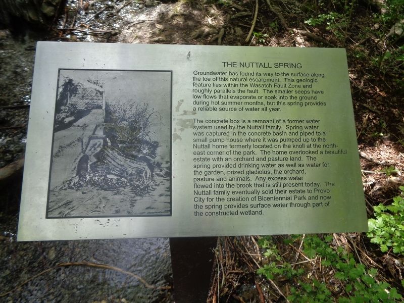
The Nuttall Spring
Photographed by Jason Voigt, May 9, 2023
1. The Nuttall Spring Marker
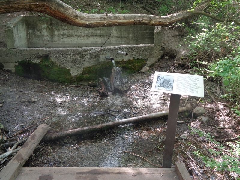
The concrete box is a remnant of a former water system used by the Nuttall family. Spring water was captured in the concrete basin and piped to a small pump house where it was pumped up to the Nuttall home formerly located on the knoll at the northeast corner of the park. The home overlooked a beautiful estate with an orchard and pasture land. The spring provided drinking water as well as water for the garden, prized gladiolus, the orchard, pasture and animals. Any excess water flowed into the brook that is still present today. The Nuttall family eventually sold their estate to Provo City for the creation of Bicentennial Park and now the spring provides surface water through part of the constructed wetland.
Topics. This historical marker is listed in this topic list: Natural Features.
Location. 40° 12.767′ N,
this page online

Regionally, this marker is in Utah’s Wasatch Front. It is also in the American Mountain West and on the Colorado Plateau. Globally, it is in North America, the Rocky Mountains, the Western Hemisphere, the Western World, and the Anglosphere. Historically, it finds itself in what was once New Spain and also Mexico’s Alta California.
Other nearby markers. At least 8 other markers are within 2 miles of this marker, measured as the crow flies: Fremont Cottonwood (within shouting distance of this marker); Wetland Shrubs (within shouting distance of this marker); Fish in Utah Lake and the Provo River Saved Utah’s Early Settlers from Starvation (within shouting distance of this marker); Why Was This Wetland Made? (within shouting distance of this marker); A Provo Accident Hastened the Death of President Heber C. Kimball
Photographed by Jason Voigt, May 9, 2023
2. The Nuttall Spring Marker
Marker is located at Bicentennial Park on a nature trail
Credits. This page was last revised on May 18, 2023. It was originally submitted on May 18, 2023, by Jason Voigt of Glen Carbon, Illinois. This page has been viewed 979 times since then and 52 times this year. Photos: 1, 2. submitted on May 18, 2023, by Jason Voigt of Glen Carbon, Illinois.
