Maeser in Provo in Utah County, Utah — The American Mountains (Southwest)
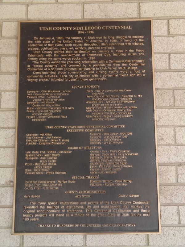
Utah County Statehood Centennial
1896-1996
Utah County started their celebration on January 4, 1996 in the Provo Tabernacle with the re-enactment of Statehood Day, featuring music and oratory using the same words spoken in 1896.
The County ended the year long celebration with a Centennial Ball attended in "period costume" and crowned by a presentation from the Centennial Committee of a $10,000 perpetual scholarship to Utah Valley State College.
Complementing these commencing and closing events were a host of community activities. Each city celebrated with a centennial theme and left a "legacy project" intended to benefit future generations.
(names and events listed not transcribed)
Topics. This historical marker is listed in this topic list: Notable Events. A significant historical date for this entry is January 4, 1896.
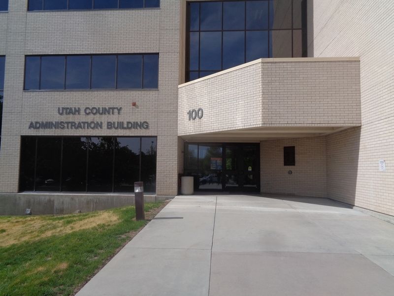
Location. 40° 13.981′ N, 111° 39.424′ W. Marker is in Provo, Utah, in Utah County. It is in Maeser. Marker can be reached from East 100 South Street east of North University Avenue (U.S. 189). Marker is mounted to the rear of the Utah County Recorder building. Touch for map. Marker is at or near this postal address: 100 E 100 S St, Provo UT 84606, United States of America. Touch for directions.
Other nearby markers. At least 8 other markers are within walking distance of this marker. Weeping American Elm (within shouting distance of this marker); Historic Utah County Courthouse (about 300 feet away, measured in a direct line); Escalante Trail (about 400 feet away); The Knight Block (about 500 feet away); Reed Smoot House (about 500 feet away); A Place of Gathering (about 700 feet away); 104 West Center (approx. 0.2 miles away); 110-120 West Center (approx. 0.2 miles away). Touch for a list and map of all markers in Provo.
Credits. This page was last revised on May 19, 2023. It was originally submitted on May 19, 2023, by Jason Voigt of Glen Carbon, Illinois. This page has been viewed 68 times since then and 11 times this year. Photos: 1, 2. submitted on May 19, 2023, by Jason Voigt of Glen Carbon, Illinois.

