Hidalgo in Hidalgo County, Texas — The American South (West South Central)
Channel and Hurricane & Intake Pipes
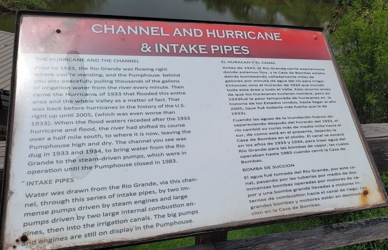
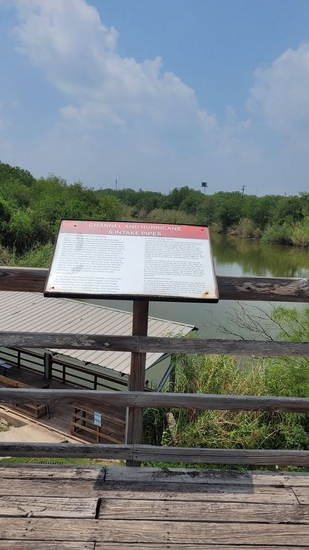
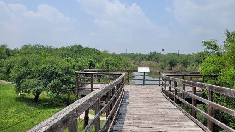
Prior to 1933, the Rio Grande was flowing right where you're standing, and the Pumphouse behind you was peacefully pulling thousands of the gallons of irrigation water from the river every minute. Then came the Hurricane of 1933 that flooded this entire area and the whole Valley as a matter of fact. That was back before hurricanes in the history of the U.S. right up until 2005, (which was even worse than 1933). When the flood waters receded after the 1933 hurricane and flood, the river had shifted its course over a half mile south, to where it is now, leaving the Pumphouse high and dry. The channel you see was dug in 1933 and 1934, to bring water from the Rio Grande to the steam-driven pumps, which were in operation until the Pumphouse closed in 1983.
Intake Pipes
Water was drawn from the Rio Grande, via this channel, through this series of intake pipes, by two immense pumps driven by steam engines and large pumps driven by two large internal combustion engines, then into the irrigation canals. The big pumps and engines are still on display in the Pumphouse.
Spanish:
Antes de 1933, el Rio Grande corría exactamente donde estamos hoy, y la Casa de Bombas estaba detrás bombeando calladamente miles de galones por minute de agua del río para irrigar. Entonces vino el Huracán de 1933 que inundó toda esta área y todo el Valle. Esto ocurrio antes de que los huracanes tuvieran nombre, pero en 1933fué la peor temporada de huracanes en la historia de los Estados Unidos, hasta llegar al año 2005, (que fué todavía más fuerte que la de 1933).
Cuando las aguas de la inundación fueron desapareciendo después del huracán del 1933, el río cambió su curso más de media milla hacia el sur, de como está en el presente, dejando la Casa de Bombas en el olvido. El canal se excavó en los años de 1933 y 1934, para traer agua del Río Grande para las bombas de vapor, las cuales operaban hasta 1983 cuando cerró la Casa de Bombas.
Bomba de Succion
El agua fué tomada del Río Grande, por este canal, pasando por las tuberías por medio de dos inmensas bombas operadas por motores de vapor y una bomba grande llevadas a motores internos de combustion hacia el canal de riego. Las grandes bombas y motores están en desmostre cion en la Casa de Bombas.
Erected by Old Hidalgo Pumphouse Museum and World Birding Center.
Topics. This historical marker is listed in this topic list: Industry & Commerce. A significant historical year for this entry is 1933.
Location. 26° 5.784′ N, 98° 15.72′ W. Marker is in Hidalgo, Texas, in Hidalgo County. Marker can be reached from South Second Street, 0.1 miles south of Gardenia Avenue. The marker is located on the southwestern section of the Old Hidalgo Pumphouse Museum and World Birding Center grounds near the canal. Touch for map. Marker is in this post office area: Hidalgo TX 78557, United States of America. Touch for directions.
Other nearby markers. At least 8 other markers are within walking distance of this marker. Hidalgo Irrigation Pump Plant (within shouting distance of this marker); Hidalgo in 1927 (within shouting distance of this marker); Water Under the Bridge / Agua Bajo el Puente (about 300 feet away, measured in a direct line); Old Hidalgo School (approx. ¼ mile away); Old Hidalgo County Courthouse (approx. ¼ mile away); Old Hidalgo County Jail (approx. ¼ mile away); Vela Building (approx. half a mile away); Approximate Site of Mission San Joaquin del Monte a Visita (approx. 0.6 miles away). Touch for a list and map of all markers in Hidalgo.
Credits. This page was last revised on May 20, 2023. It was originally submitted on May 20, 2023, by James Hulse of Medina, Texas. This page has been viewed 61 times since then and 12 times this year. Photos: 1, 2, 3. submitted on May 20, 2023, by James Hulse of Medina, Texas.


