Near Markleeville in Alpine County, California — The American West (Pacific Coastal)
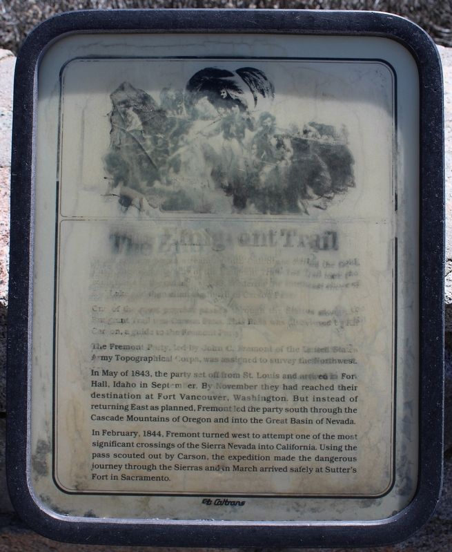
The Emigrant Trail
One of the most popular passes through the Sierras along the Emigrant Trail was Carson Pass. This Pass was discovered by Kit Carson, a guide to the Fremont Party.
The Fremont Party, led by John C. Fremont of the United States Army Topographical Corps, was assigned to survey the Northwest.
In May of 1843, the party set off from St. Louis and arrived in Fort Hall, Idaho in September. By November they had reached their destination of Fort Vancouver, Washington. But instead of returning East as planned, Fremont led the party south through the Cascade Mountains of Oregon and into the Great basin of Nevada.
In February, 1844, Fremont turned west to attempt one of the most significant crossings of the Sierra Nevada into California. Using the pass scouted out by Carson, the expedition made the dangerous journey through the Sierras and in March arrived safely at Sutter’s Fort in Sacramento.
Erected by CalTrans.
Topics. This historical marker is listed in these topic lists: Exploration • Roads & Vehicles. A significant historical month for this entry is May 1843.
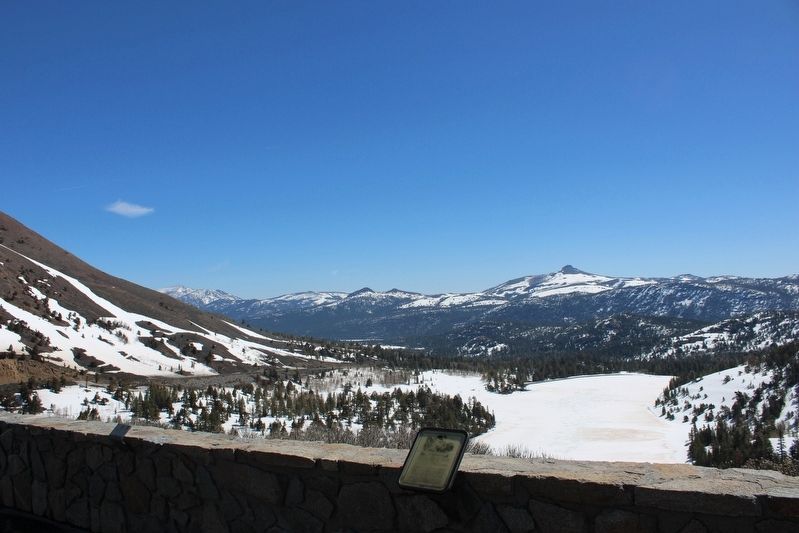
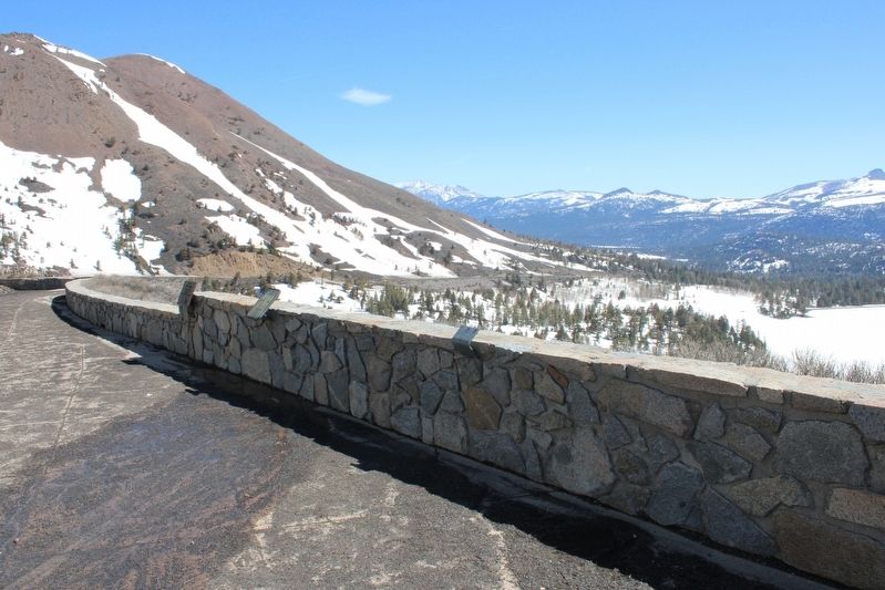
Location. 38° 41.691′ N, 119° 59.089′ W. Marker is near Markleeville, California, in Alpine County. Marker is on Carson Pass Highway (California Route 88 at milepost 6.4) east of Red Vista Road, on the right when traveling east. The resin marker is mounted to the stone masonry wall at the Red Lake Vista Point. Touch for map. Marker is in this post office area: Markleeville CA 96120, United States of America. Touch for directions.
Other nearby markers. At least 8 other markers are within 4 miles of this marker, measured as the crow flies. Kit Carson (about 800 feet away, measured in a direct line); Snowshoe Thom(p)son (approx. 0.2 miles away); First Summit (approx. 0.2 miles away); Naming of Carson Pass (approx. 0.2 miles away); Carson Trail - Ascent to Carson Pass (approx. ¼ mile away); Memorial to Pioneer Odd Fellows (approx. ¼ mile away); Summer Retreat (approx. 3.2 miles away); Caples Lake (approx. 3.8 miles away).
Related marker. Click here for another marker that is related to this marker. Naming of Carson Pass
Also see . . . Carson Pass History. Eldorado National Forest Interpretive Association
"After ignoring the warnings of local Washoe Indians, Fremont, his guide, Kit Carson, and his cartographer, Charles Pruess, and the expedition struggled through heavy snowfall to become the first white men to cross of the Sierra Nevada in the winter."(Submitted on May 21, 2023, by Joseph Alvarado of Livermore, California.)
Photographed By Joseph Alvarado, May 18, 2023
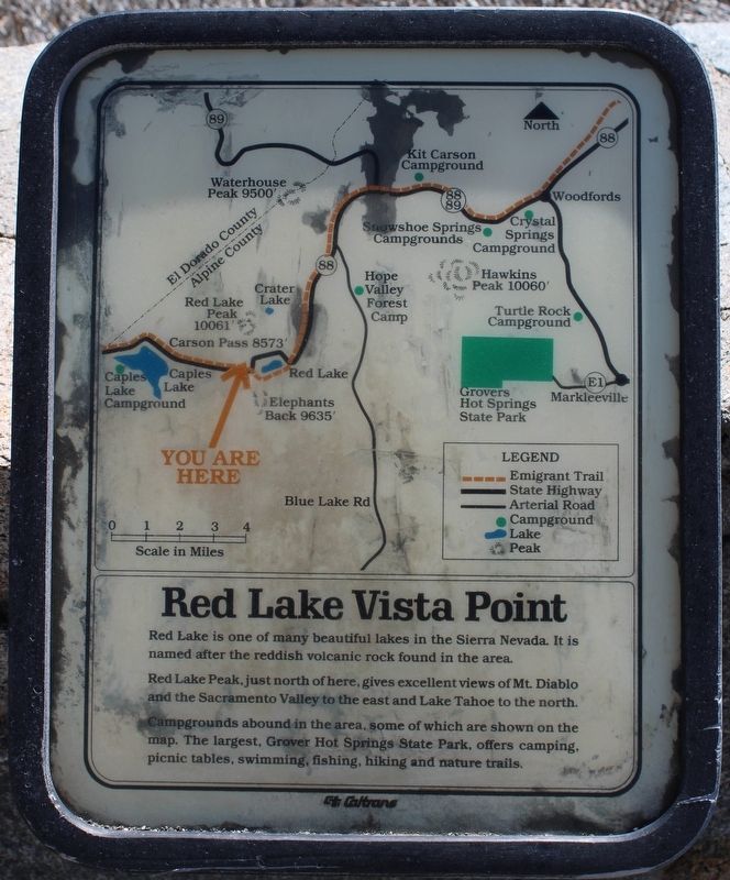
3. Red Lake Vista Point Marker
Red Lake is one of many beautiful lakes in the Sierra Nevada. It is named after the reddish volcanic rock found in the area.
Red Lake Peak, just north of here, gives excellent views of Mt. Diablo and the Sacramento Valley to the east and Lake Tahoe to the north.
Campgrounds abound in the area, some of which are shown on the map. The largest, Grover Hot Springs State Park, offers camping, picnic tables, swimming, fishing, hiking and nature trails.
Credits. This page was last revised on May 22, 2023. It was originally submitted on May 21, 2023, by Joseph Alvarado of Livermore, California. This page has been viewed 84 times since then and 33 times this year. Photos: 1, 2, 3, 4, 5. submitted on May 21, 2023, by Joseph Alvarado of Livermore, California.
