Yosemite Valley in Mariposa County, California — The American West (Pacific Coastal)
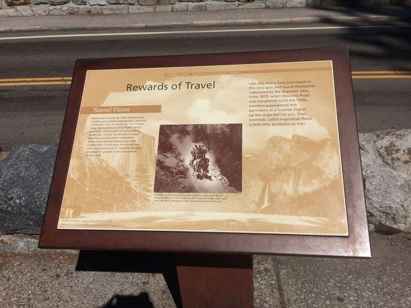
Rewards of Travel
Tunnel View
— Yosemite National Park —
Tunnel Vision
Dedicated on June 10, 1933, the Wawona Tunnel was carefully engineered to provide a dramatic view for motorists. The Tunnel View Overlook, built using Rustic design principles, blends with the surrounding landscape. Civilian Conservation Corps enrollees planted native vegetation to restore a natural appearance after construction. In this way, the tunnel not only improved access to Yosemite but also provided a grater visitor enjoyment of the scene.
Like you, many have journeyed to this very spot and founded themselves captivated by the dramatic view. From 1875 - when Wawona Road was completed - until the 1930s, travelers experienced this panorama at a location higher up the slope behind you. That overlook, called Inspiration Point, is now only accessible by trail.
Caption: The Wawona Road quickly became a popular route from Wawona to Yosemite Valley, Travelers enduring the dusty and rough, eight-hour stage ride were rewarded by the inspirational view before you.
Erected by The Yosemite Fund.
Topics. This historical marker is listed in this topic list: Roads & Vehicles. A significant historical date for this entry is June 10, 1933.
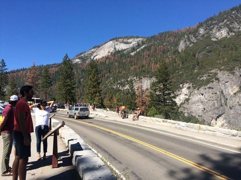
Location. 37° 42.908′ N, 119° 40.596′ W. Marker is in Yosemite Valley, California , in Mariposa County. Marker is on Wawona Road (California Route 49) west of Southside Drive, on the left when traveling west. Touch for map. Marker is in this post office area: Yosemite National Park CA 95389, United States of America. Touch for directions.
Other nearby markers. At least 8 other markers are within 2 miles of this marker, measured as the crow flies. President Theodore Roosevelt & John Muir Meeting Site (approx. 0.9 miles away); Disappearing Waterfalls (approx. 1.4 miles away); Glaciers at the Gate (approx. 1˝ miles away); El Capitan (approx. 1.6 miles away); A Varied View (approx. 1.6 miles away); A View Through Time (approx. 1.6 miles away); The Journey to Yosemite (approx. 2 miles away); Waterfalls of Yosemite Valley (approx. 2 miles away).
Credits. This page was last revised on May 23, 2023. It was originally submitted on February 15, 2022, by Adam Margolis of Mission Viejo, California. This page has been viewed 95 times since then and 14 times this year. Last updated on May 22, 2023, by Carl Gordon Moore Jr. of North East, Maryland. Photos: 1, 2. submitted on February 15, 2022, by Adam Margolis of Mission Viejo, California. • J. Makali Bruton was the editor who published this page.

