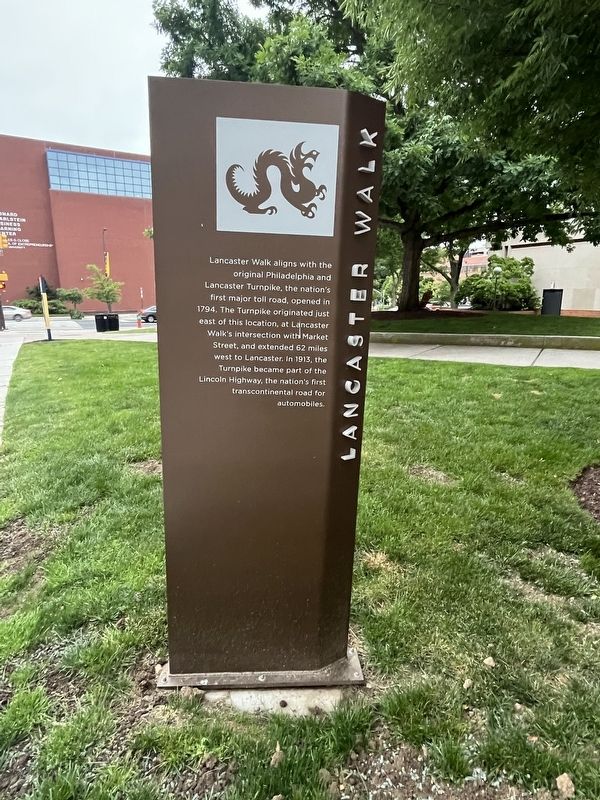
University City in Philadelphia in Philadelphia County, Pennsylvania — The American Northeast (Mid-Atlantic)
Lancaster Walk
Erected by Drexel University.
Topics and series. This historical marker is listed in these topic lists: Industry & Commerce • Roads & Vehicles. In addition, it is included in the Lincoln Highway series list. A significant historical year for this entry is 1794.
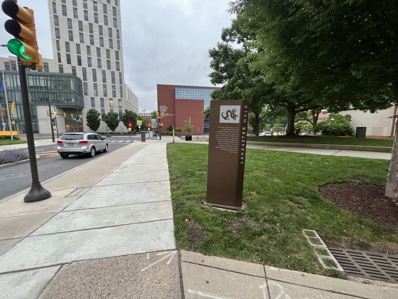
Location. 39° 57.351′ N, 75° 11.3′ W. Marker is in Philadelphia, Pennsylvania, in Philadelphia County. It is in University City. Marker is at the intersection of North 32nd Street and Lancaster Walk, on the right when traveling south on North 32nd Street. Touch for map. Marker is at or near this postal address: 3201 Market St, Philadelphia PA 19104, United States of America. Touch for directions.
Other nearby markers. At least 8 other markers are within walking distance of this marker. 103D Engineer Battalion History (within shouting distance of this marker); Drexel University (about 300 feet away, measured in a direct line); Lancaster Avenue Readiness Center (about 300 feet away); A Tribute to Senior Vice President Anthony T. Caneris and His Wife Antoinette (about 300 feet away); Korman Family Quad (about 300 feet away); a different marker also named Korman Family Quad (about 300 feet away); Anthony J. Drexel (about 400 feet away); a different marker also named Drexel University (about 400 feet away). Touch for a list and map of all markers in Philadelphia.
Credits. This page was last revised on May 22, 2023. It was originally submitted on May 22, 2023, by Devry Becker Jones of Washington, District of Columbia. This page has been viewed 62 times since then and 10 times this year. Photos: 1, 2. submitted on May 22, 2023, by Devry Becker Jones of Washington, District of Columbia.

