Green Prairie Township near Little Falls in Morrison County, Minnesota — The American Midwest (Upper Plains)
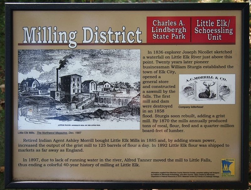
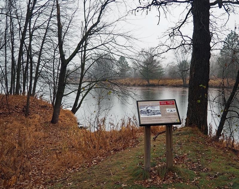
Milling District
Charles A. Lindbergh State Park
— Little Elk/Schoessling Unit —
Retired Indian Agent Ashley Morrill bought Little Elk Mills in 1885 and, by adding steam power, increased the output of the grist mill to 125 barrels of flour a day. In 1892 Little Elk flour was shipped to markets as far away as England.
In 1897, due to lack of running water in the river, Alfred Tanner moved the mill to Little Falls, thus ending a colorful 40-year history of milling at Little Elk.
Captions:
Little Elk Mills. The Northwest Magazine, Dec. 1887
Company letterhead
Erected 2010 by Minnesota Department of Natural Resources.
Topics. This historical marker is listed in these topic lists: Exploration • Industry & Commerce • Waterways & Vessels. A significant historical year for this entry is 1856.
Location. 46° 0.652′ N, 94° 21.833′ W. Marker is near Little Falls, Minnesota, in Morrison County. It is in Green Prairie Township. Marker can be reached from Grouse Road. The marker is in the Little Elk unit of Charles A. Lindbergh State Park along the loop interpretive trail. Touch for map. Marker is at or near this postal address: 17443 Grouse Road, Little Falls MN 56345, United States of America. Touch for directions.
Other nearby markers. At least 8 other markers are within walking distance of this marker. Area Settlement (within shouting distance of this marker); Ojibwe Presence (about 400 feet away, measured in a direct line); Pike and Nicollet's Visits (about 400 feet away); Institute for MN Archeology Site MO20 (about 500 feet away); Log Jams (about 600 feet away); The French Fort (approx. 0.3 miles away); Major Morrill's Road (approx. 0.3 miles away); Interesting Names (approx. 0.4 miles away). Touch for a list and map of all markers in Little Falls.
Credits. This page was last revised on May 23, 2023. It was originally submitted on May 22, 2023, by McGhiever of Minneapolis, Minnesota. This page has been viewed 59 times since then and 18 times this year. Photos: 1, 2. submitted on May 22, 2023, by McGhiever of Minneapolis, Minnesota. • J. Makali Bruton was the editor who published this page.

