
Antioch in Nashville in Davidson County, Tennessee — The American South (East South Central)
Antioch High School
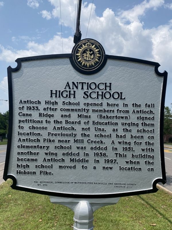
Photographed by Darren Jefferson Clay
1. Antioch High School Marker
Erected 2023 by Historical Commission of Metropolitan Nashville and Davidson County. (Marker Number 208.)
Topics. This historical marker is listed in this topic list: Education.
Location. 36° 3.327′ N, 86° 40.338′ W. Marker is in Nashville, Tennessee, in Davidson County. It is in Antioch. It is on Blue Hole Road 0.3 miles south of Antioch Pike, on the left when traveling south. Touch for map. Marker is at or near this postal address: 5050 Blue Hole Rd, Antioch TN 37013, United States of America. Touch for directions.

Regionally, this marker is in Middle Tennessee. It is also
this page online
Other nearby markers. At least 8 other markers are within 3 miles of this marker, measured as the crow flies: Locust Hill (approx. 0.7 miles away); Antioch Pike (approx. 1.3 miles away); Alice Thompson Collinsworth (approx. 1½ miles away); Alfred Z. Kelley (approx. 2.4 miles away); John Haywood (approx. 2½ miles away); Richards Cemetery (approx. 2.6 miles away); GranDale (approx. 2.7 miles away); John Bell's Birthplace (approx. 2.7 miles away). Touch for a list and map of all markers in Nashville.
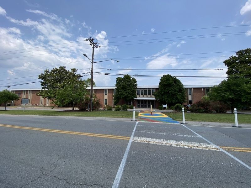
Photographed by Darren Jefferson Clay, May 24, 2023
2. Antioch High School Marker
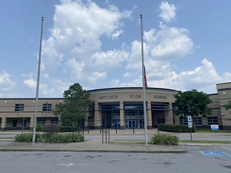
Photographed by Darren Jefferson Clay, May 24, 2023
3. The new Antioch High School
Credits. This page was last revised on May 24, 2023. It was originally submitted on May 24, 2023, by Darren Jefferson Clay of Duluth, Georgia. This page has been viewed 849 times since then and 62 times this year. Photos: 1, 2, 3. submitted on May 24, 2023, by Darren Jefferson Clay of Duluth, Georgia. • James Hulse was the editor who published this page.
