Courtland in Southampton County, Virginia — The American South (Mid-Atlantic)
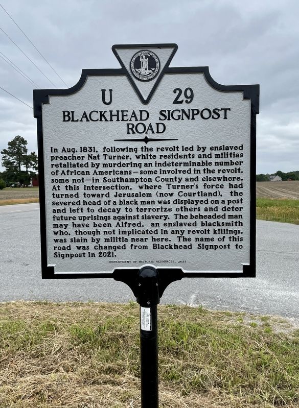
Blackhead Signpost Road
Erected 2021 by Department of Historic Resources. (Marker Number U-29.)
Topics. This historical marker is listed in these topic lists: African Americans • Civil Rights. A significant historical year for this entry is 1831.
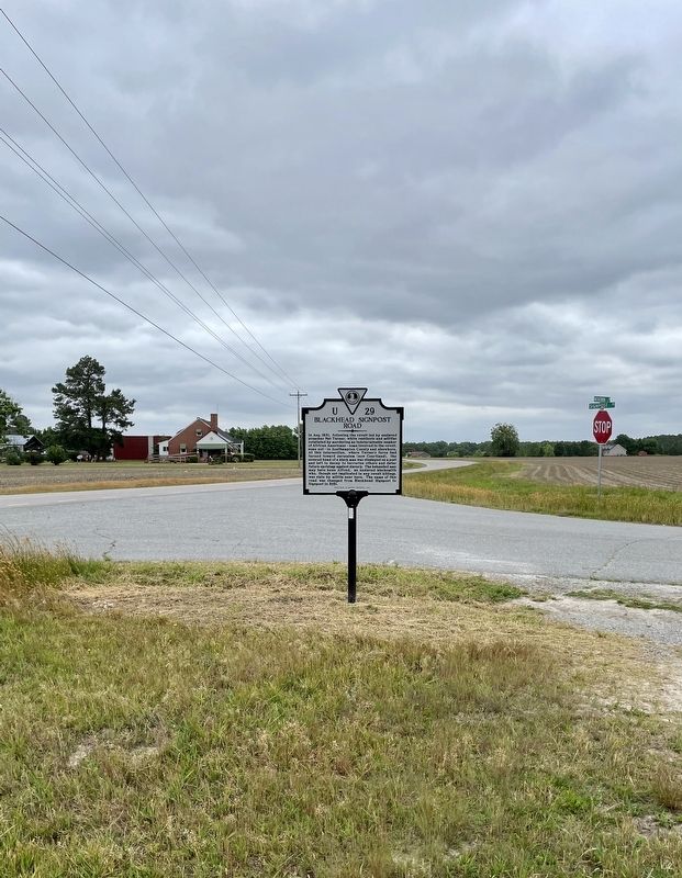
Location. 36° 41.129′ N, 77° 6.958′ W. Marker is in Courtland, Virginia, in Southampton County. Marker is at the intersection of Meherrin Road (Virginia Route 35) and Signpost Road (Virginia Route 658), on the right when traveling north on Meherrin Road. Touch for map. Marker is in this post office area: Courtland VA 23837, United States of America. Touch for directions.
Other nearby markers. At least 8 other markers are within 4 miles of this marker , measured as the crow flies. Nottoway Indians (approx. 1.2 miles away); Buckhorn Quarters (approx. 2.1 miles away); Dred Scott And The Blow Family (approx. 2.1 miles away); Southampton County Veterans Memorial (approx. 3.3 miles away); Mahone’s Tavern (approx. 3.4 miles away); "Thomaston" (approx. 3.4 miles away); a different marker also named Thomaston (approx. 3˝ miles away); Courtland School — Rosenwald Funded (approx. 3.7 miles away). Touch for a list and map of all markers in Courtland.
Also see . . . Ceremony Celebrates Change and Preservation of History. (Submitted on May 26, 2023, by Brandon D Cross of Flagler Beach, Florida.)
Credits. This page was last revised on May 26, 2023. It was originally submitted on May 26, 2023, by Brandon D Cross of Flagler Beach, Florida. This page has been viewed 673 times since then and 239 times this year. Photos: 1, 2. submitted on May 26, 2023, by Brandon D Cross of Flagler Beach, Florida. • Bernard Fisher was the editor who published this page.

