
Near Burlington in Alamance County, North Carolina — The American South (South Atlantic)
The McCray School
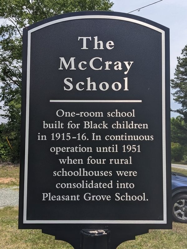
Photographed by Bernard Fisher, May 24, 2023
1. The McCray School Marker
Topics. This historical marker is listed in these topic lists: African Americans • Education. A significant historical year for this entry is 1915.
Location. 36° 10.799′ N, 79° 22.79′ W. Marker is near Burlington, North Carolina, in Alamance County. It is on North Carolina Route 62 south of Louis Graham Road, on the left when traveling north. Touch for map. Marker is at or near this postal address: 4460 NC-62, Burlington NC 27217, United States of America. Touch for directions.

Regionally, this marker is in North Carolina’s Piedmont and specifically in Piedmont Triad. It is also in the American South and specifically in the Upper South. Globally, it is in North America, the Western Hemisphere, the Western World, and the Anglosphere. Historically, it finds itself in what was once the territory of the Mississippian Culture, one of the original Thirteen Colonies, one of the Confederate States of America, and the Antebellum South.
Other nearby markers. At
this page online
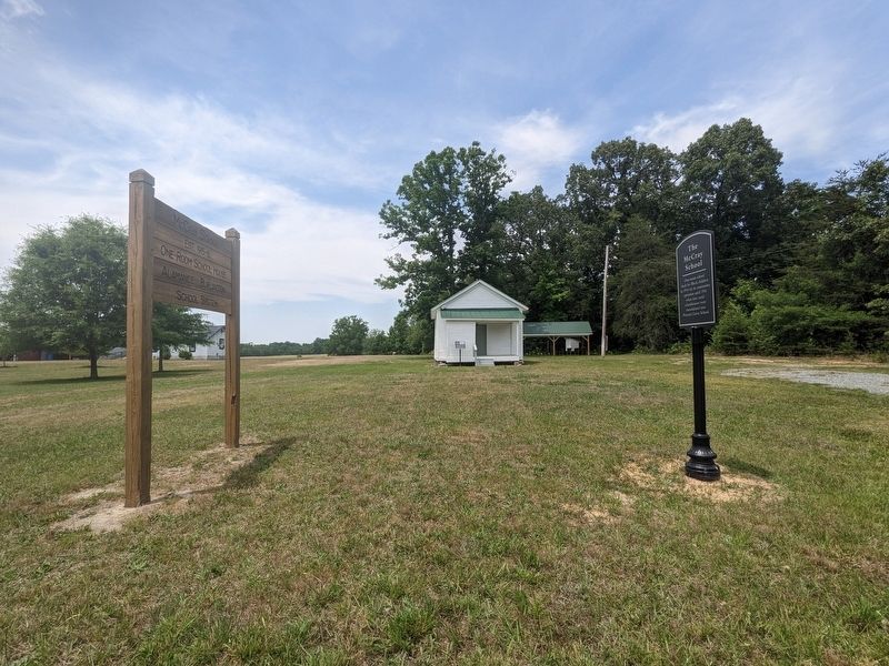
Photographed by Bernard Fisher, May 24, 2023
2. The McCray School Marker
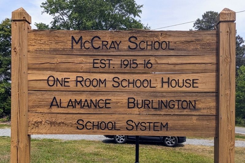
Photographed by Bernard Fisher, May 24, 2023
3. The McCray School Site
Credits. This page was last revised on May 26, 2023. It was originally submitted on May 26, 2023, by Bernard Fisher of Richmond, Virginia. This page has been viewed 276 times since then and 34 times this year. Photos: 1, 2, 3. submitted on May 26, 2023, by Bernard Fisher of Richmond, Virginia.
