Sault Ste. Marie in Chippewa County, Michigan — The American Midwest (Great Lakes)
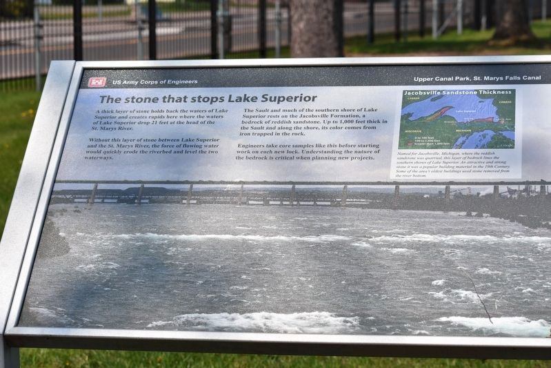
The stone that stops Lake Superior
Upper Canal Park, St. Marys Falls Canal
A thick layer of stone holds back the waters of Laker Superior and creates rapids here where the waters of Lake Superior drop 21 feet at the head of the St. Marys River.
Without this layer of stone between Lake Superior and the St. Marys River, the force of flowing water would quickly erode the riverbed and level the two waterways.
The Sault and much of the southern shore of Lake Superior rest on the Jacobsville Formation, a bedrock of reddish sandstone. Up to 1,000 feet in the Sault and along the shore, its color comes from iron trapped in the rock.
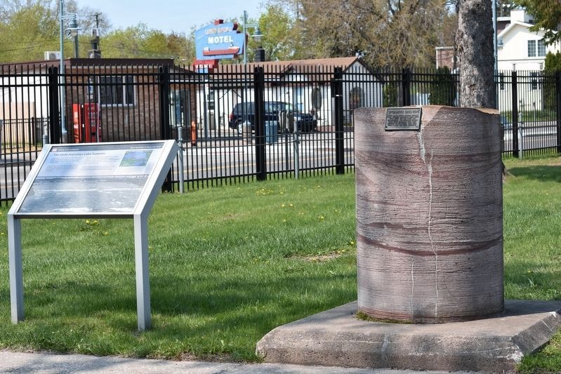
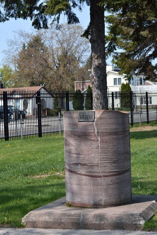
Engineers take core samples like this before starting work on each new lock. Understanding the nature of the bedrock is critical when planning new projects.
Erected by US Army Corps of Engineers.
Topics. This historical marker is listed in this topic list: Waterways & Vessels.
Location. 46° 30.117′ N, 84° 21.135′ W. Marker is in Sault Ste. Marie, Michigan, in Chippewa County. Marker is on East Portage Avenue. Touch for map. Marker is at or near this postal address: 225 E Portage Ave, Sault Sainte Marie MI 49783, United States of America. Touch for directions.
Other nearby markers. At least 8 other markers are within walking distance of this marker. Paul R. Tregurtha (within shouting distance of this marker); Burns Harbor (within shouting distance of this marker); Stewart J. Cort (within shouting distance of this marker); How's the weather? (within shouting distance of this marker); Presque Isle (about 300 feet away, measured in a direct line); American Spirit (about 300 feet away); International Shipmasters' Association (about 300 feet away); Propeller from tug Marquette (about 400 feet away). Touch for a list and map of all markers in Sault Ste. Marie.

Photographed By Sandra Hughes Tidwell, May 17, 2023
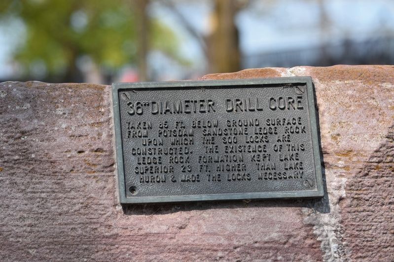
3. 36" Diameter Drill Core Tablet
Taken 85 ft. below ground surface from Potsdam Sandstone Edge rock upon which the Soo Locks are constructed. The existence of this ledge rock formation kept Lake Superior 23 ft. higher than Lake Huron & made the locks necessary.
Credits. This page was last revised on May 29, 2023. It was originally submitted on May 26, 2023, by Sandra Hughes Tidwell of Killen, Alabama, USA. This page has been viewed 76 times since then and 13 times this year. Photos: 1, 2, 3, 4. submitted on May 26, 2023, by Sandra Hughes Tidwell of Killen, Alabama, USA. • J. Makali Bruton was the editor who published this page.


