Sault Ste. Marie in Chippewa County, Michigan — The American Midwest (Great Lakes)
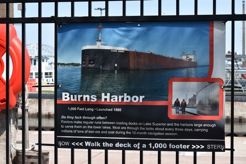
Burns Harbor
1,000 Feet Long · Launched 1980
Do they lock through often?
Footers make regular runs between loading docks on Lake Superior and the harbors large enough to serve them on the lower lakes. Most are through the locks about every three days, carrying millions of tons of iron ore and coal during the 10-month navigation season.
Bow <<< Walk the deck of a 1,000 footer >>> Stern
Topics. This historical marker is listed in this topic list: Waterways & Vessels. A significant historical year for this entry is 1980.
Location. 46° 30.13′ N, 84° 21.11′ W. Marker is in Sault Ste. Marie, Michigan, in Chippewa County. Marker is on East Portage Avenue. This marker is behind the visitors center along the gates of the Soo Locks. Touch for map. Marker is at or near this postal address: 225 E Portage Ave, Sault Sainte Marie MI 49783, United States of America. Touch for directions.
Other nearby markers. At least 8 other markers are within walking distance of this marker. Stewart J. Cort (a few steps from this marker); The stone that stops Lake Superior (within shouting distance of this marker); How's the weather? (within shouting distance of this marker); Presque Isle (within shouting distance of this marker); American Spirit (within shouting distance of this marker); Paul R. Tregurtha (within shouting distance of this marker); International Shipmasters' Association (within shouting distance of this marker); Propeller from tug Marquette (about 300 feet away, measured in a direct line). Touch for a list and map of all markers in Sault Ste. Marie.
Credits. This page was last revised on June 5, 2023. It was originally submitted on May 26, 2023, by Sandra Hughes Tidwell of Killen, Alabama, USA. This page has been viewed 43 times since then and 12 times this year. Photo 1. submitted on May 26, 2023, by Sandra Hughes Tidwell of Killen, Alabama, USA. • J. Makali Bruton was the editor who published this page.
Editor’s want-list for this marker. A wide view marker and the surrounding area together in context. • Can you help?
