Little Rock Air Force Base in Pulaski County, Arkansas — The American South (West South Central)
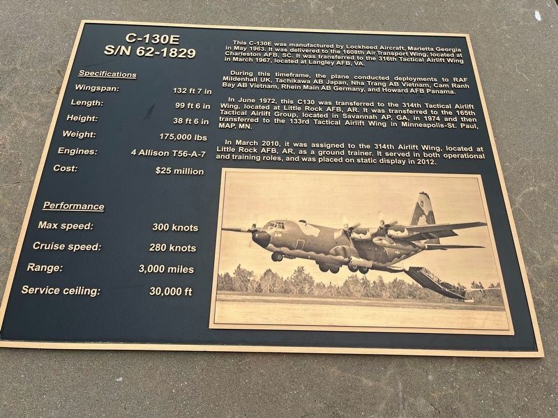
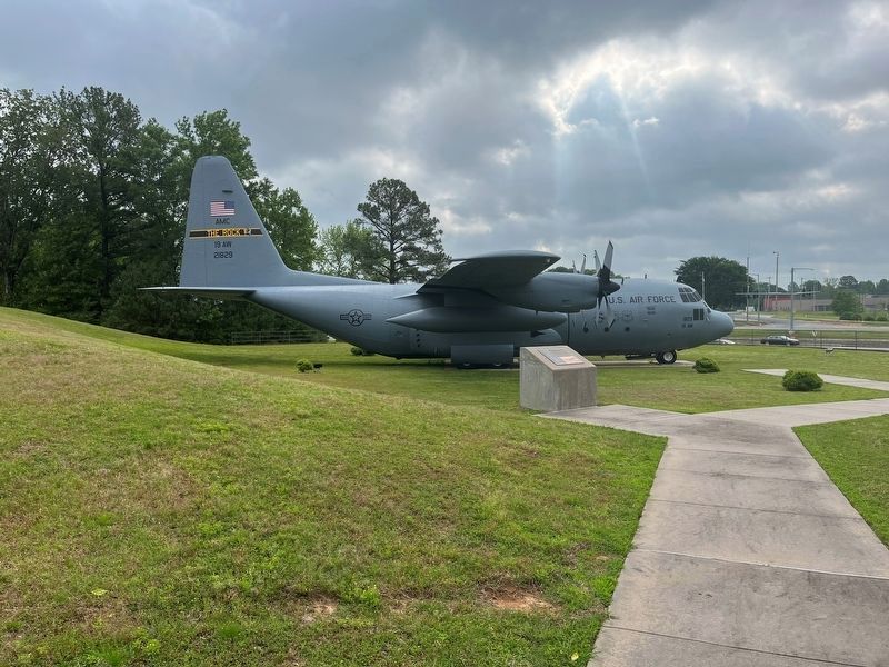
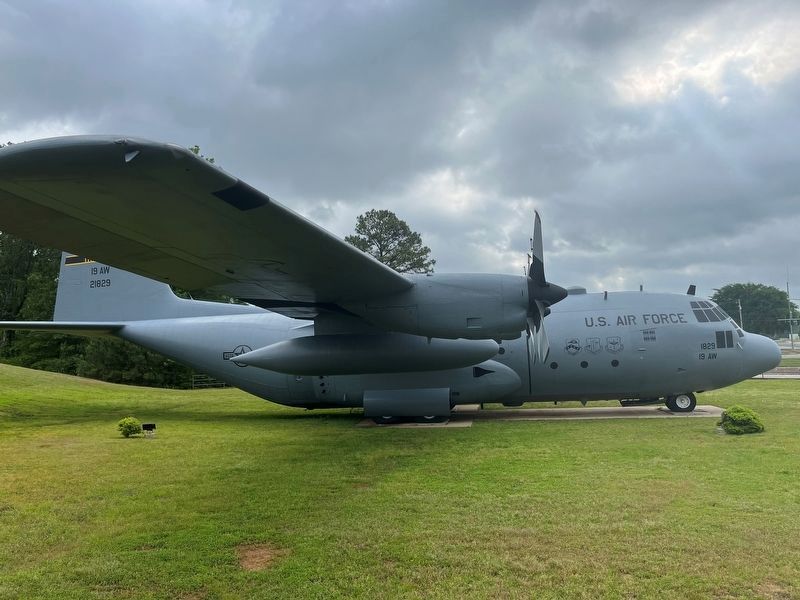
C-130E
S/N 62 - 1829
Photographed by Thomas Smith, May 8, 2023
1. C-130E Marker
During this timeframe, the plane conducted deployments to RAF Mildenhall UK, Tachikawa AB Japan, Nha Trang AB Vietnam, Cam Ranh Bay AB Vietnam, Rhein Main AB Germany, and Howard AFB Panama.
In June 1972, this C130 was transferred to the 314th Tactical Airlift Wing, located at Little Rock AFB, AR. It was transferred to the 165th Tactical Airlift Group, located in Savannah AP, GA, in 1974 and then transferred to the 133rd Tactical Airlift Wing in Minneapolis-St. Paul, MAP, MN.
In March 2010, it was assigned to the 314th Airlift Wing, located at Little Rock AFB, AR, as a ground trainer. It served in both operational and training roles, and was placed on static display in 2012.
Specifications
Wingspan: 132 ft 7 in
Length: 99ft 6 in
Height: 38ft 6 in
Weight: 175,000 lbs
Engines: 4 Allison T 56 - A - 7
Cost: $25 million
Performance
Max speed: 300
this page online
Cruise speed: 280 knots
Range: 3,000 miles
Service ceiling: 30,000 ft
Topics. This historical marker is listed in this topic list: Air & Space.
Location. 34° 53.369′ N, 92° 6.344′ W. Marker is in Little Rock Air Force Base, Arkansas, in Pulaski County. It is on John Harden Drive 0 miles north of Vandenberg Drive when traveling west. Touch for map. Marker is in this post office area: Little Rock Air Force Base AR 72099, United States of America. Touch for directions.

Regionally, this marker is in the Little Rock Metropolitan Area and in the Quapaw Homeland. It is also in the American South and specifically in the Upper South. Globally, it is in North America, the Western Hemisphere, the Western World, and the Anglosphere. Historically, it finds itself in what was once the territory of the Mississippian Culture, the Louisiana Purchase, one of the Confederate States of America, and the Antebellum South.
Other nearby markers. At least 8 other markers are within 2 miles of this marker, measured as the crow flies: Civil War Soldiers Buried at Bayou Meto Cemetery
Photographed by Thomas Smith, May 8, 2023
2. C-130E Marker
Another marker is no longer nearby. Confederates at Bayou Meto (was approx. 1.7 miles away but has been confirmed missing).
Photographed by Thomas Smith
3. C-130E Marker
Credits. This page was last revised on May 27, 2023. It was originally submitted on May 26, 2023, by Thomas Smith of Waterloo, Ill. This page has been viewed 368 times since then and 30 times this year. Photos: 1, 2, 3. submitted on May 26, 2023, by Thomas Smith of Waterloo, Ill. • Andrew Ruppenstein was the editor who published this page.
