Prairie du Rocher in Randolph County, Illinois — The American Midwest (Great Lakes)
The Conner House
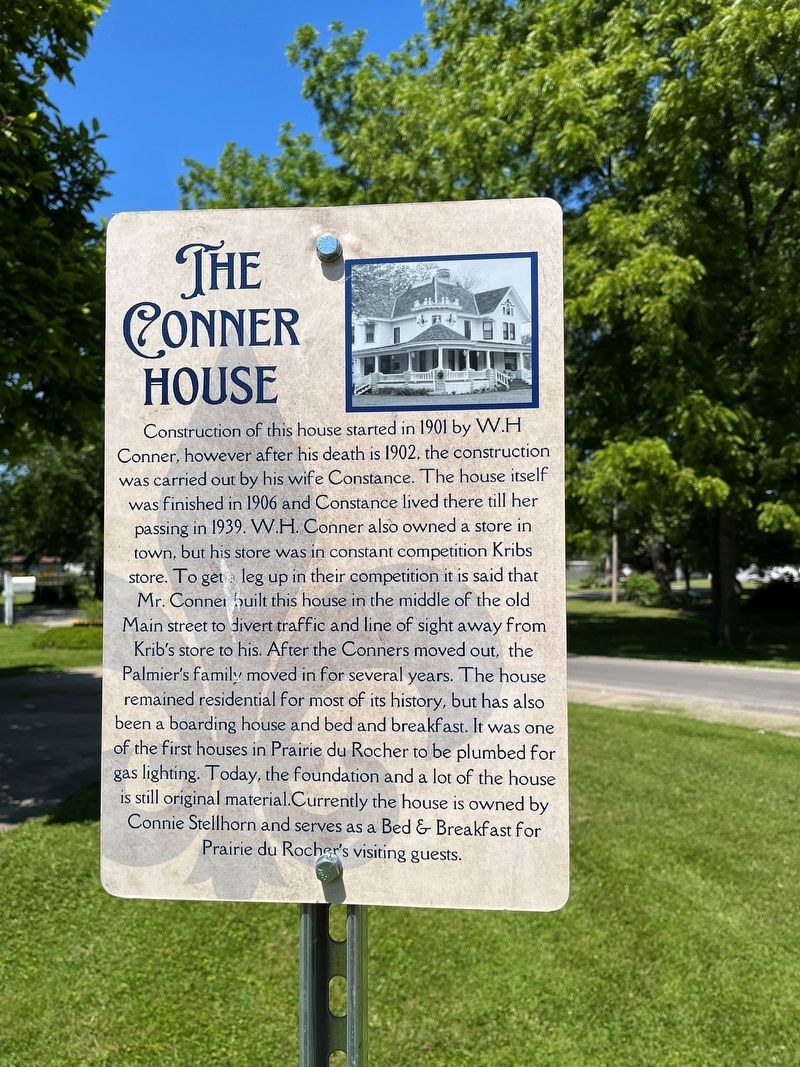
Photographed by Thomas Smith, May 26, 2023
1. The Conner House Marker
Topics. This historical marker is listed in these topic lists: Industry & Commerce • Settlements & Settlers. A significant historical year for this entry is 1901.
Location. 38° 5.024′ N,
this page online

Regionally, this marker is in Southern Illinois — Little Egypt. It is also in the American Midwest, in the Corn Belt, and in the Great River Road Region. Globally, it is in North America, the Western Hemisphere, the Western World, and the Anglosphere. Historically, it finds itself in what was once the Viceroyalty of New France, the territory of the Mississippian Culture, and the Northwest Territory.
Other nearby markers. At least 8 other markers are within walking distance of this marker: The Creole House (about 400 feet away, measured in a direct line); State Bank of Prairie Du Rocher (about 500 feet away); 2022 - 300 Years Of Tradition (about 500 feet away); Conner-Hauck House (about 500 feet away); Prairie Du Rocher (about 600 feet away); In Dedication Honor and Memory
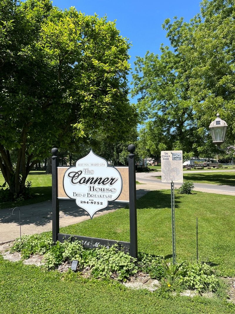
Photographed by Thomas Smith, May 26, 2023
2. The Conner House Marker
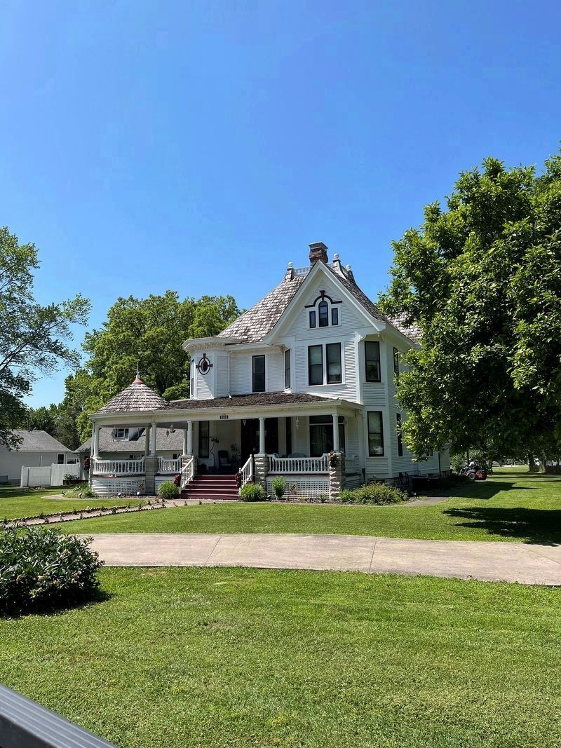
Photographed by Thomas Smith, May 26, 2023
3. The Conner House
Credits. This page was last revised on June 2, 2023. It was originally submitted on May 28, 2023, by Thomas Smith of Waterloo, Ill. This page has been viewed 906 times since then and 94 times this year. Photos: 1, 2, 3. submitted on May 28, 2023, by Thomas Smith of Waterloo, Ill. • Devry Becker Jones was the editor who published this page.
