Newington in Rockingham County, New Hampshire — The American Northeast (New England)
Newington
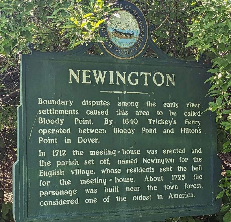
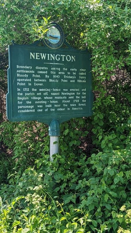
Boundary disputes among the early river settlements caused this area to be called Bloody Point. By 1640 Trickey's Ferry operated between Bloody Point and Hilton's Point in Dover.
In 1712 the meeting house was erected and the parish set off, named Newington for the English village, whose residents sent the bell. About 1725 the parsonage was built near the town forest, considered one of the oldest in America.
Erected by New Hampshire Division of Historical Resources. (Marker Number 0151.)
Topics and series. This historical marker is listed in these topic lists: Colonial Era • Settlements & Settlers. In addition, it is included in the New Hampshire Historical Highway Markers series list.
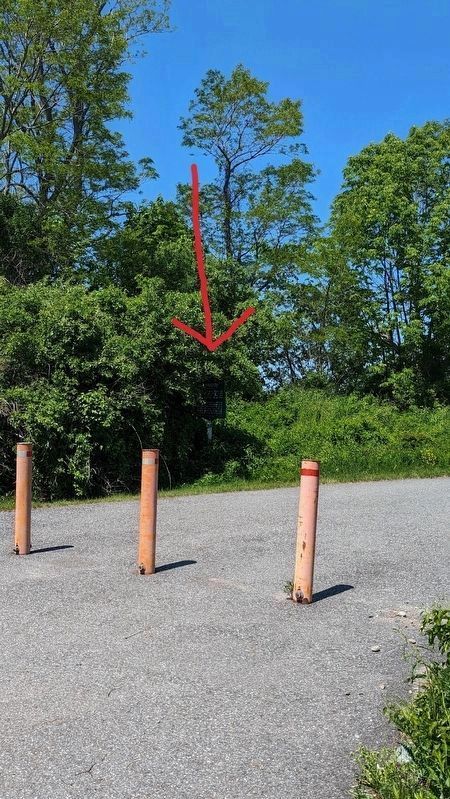
Location. 43° 6.912′ N, 70° 49.403′ W. Marker is in Newington, New Hampshire, in Rockingham County. Marker is at the intersection of General Sullivan Bridge and Shattuck Way, on the left when traveling north on General Sullivan Bridge. Although technically it can be seen from the road, there is an overgrowth of brush that partially obscures it. It's on the side of a pedestrian pathway. Touch for map. Marker is in this post office area: Portsmouth NH 03801, United States of America. Touch for directions.
Other nearby markers. At least 8 other markers are within 4 miles of this marker, measured as the crow flies. Bloody Point Ferry (about 400 feet away, measured in a direct line); The Oldest Town Forest in the United States (approx. 1.3 miles away); Dr. Jeremy Belknap (1744 - 1798) (approx. 1.4 miles away); The Alexander Scammell Bridge over the Bellamy River (approx. 1.8 miles away); Russell A. Hanscom Memorial (approx. 3.1 miles away); US Route 1 Bypass of Portsmouth, NH (1940) (approx. 3.6 miles away); Portsmouth Naval Shipyard Memorial (approx. 3.6 miles away); New Hampshire's Lost Boat (approx. 3.6 miles away). Touch for a list and map of all markers in Newington.
Credits. This page was last revised on May 29, 2023. It was originally submitted on May 28, 2023, by Kelly Marsh of Moultonboro, New Hampshire. This page has been viewed 93 times since then and 37 times this year. Photos: 1, 2, 3. submitted on May 28, 2023, by Kelly Marsh of Moultonboro, New Hampshire. • J. Makali Bruton was the editor who published this page.


