Aldie in Loudoun County, Virginia — The American South (Mid-Atlantic)
Slashing Sabers
Vicious cavalry fighting raged in the Loudoun Valley
— Gettysburg Campaign —
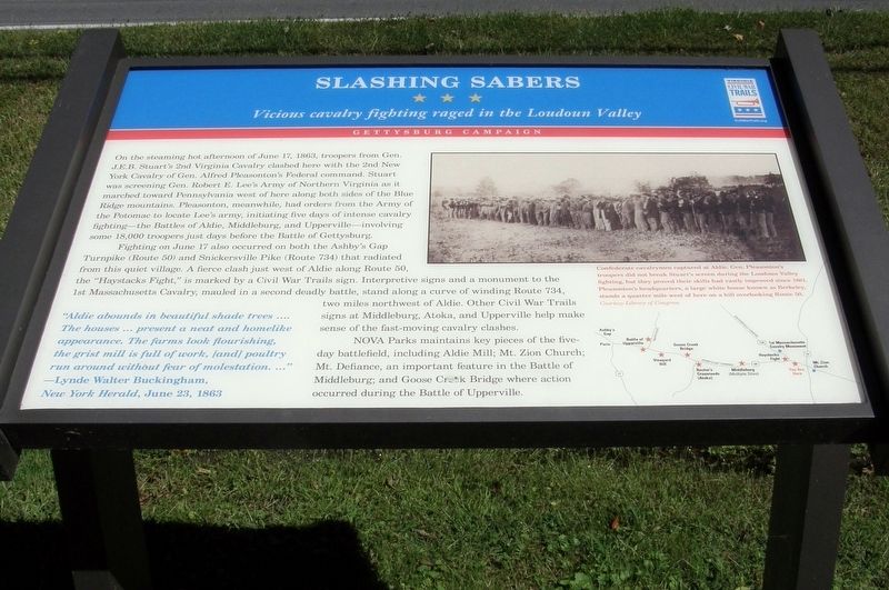
On the steaming hot afternoon of June 17, 1863, troopers from Gen. J.E.B. Stuart’s 2nd Virginia Cavalry clashed here with the 2nd New York Cavalry of Gen. Alfred Pleasonton’s Federal command. Stuart was screening Gen Robert E. Lee’s Army of Northern Virginia as it marched toward Pennsylvania west of here along both sides of the Blue Ridge Mountains. Pleasonton, meanwhile, had orders from the Army of the Potomac to locate Lee’s army, initiating five days of intense cavalry fighting – the Battles of Aldie, Middleburg and Upperville – involving some 18,000 troopers just days before the Battle of Gettysburg.
Fighting on June 17 also occurred on both the Ashby’s Gap Turnpike (Route 50) and Snickersville Pike (Route 734) that radiated from this quiet village. A fierce clash just west of Aldie along Route 50, the “Haystacks Fight”, is marked by a Civil War Trails sign. Interpretive signs and a monument to the 1st Massachusetts Cavalry, mauled in a second deadly battle, stand along a curve of winding Route 734, two miles northwest of Aldie. Other Civil War Trails signs at Middleburg, Atoka, and Upperville help make sense of the fast-moving cavalry clashes.
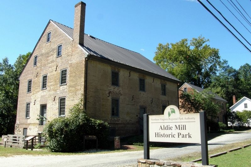
NOVA Parks maintains key pieces of the five-day battlefield, including Aldie Mill; Mt. Zion Church; Mt. Defiance, an important feature in the Battle of Middleburg; and Goose Creek Bridge where action occurred during the Battle of Upperville.
“Aldie abounds in beautiful shade trees …. The houses… present a neat and homelike appearance. The farms look flourishing, the grist mill is full of work, [and] poultry run around without fear of molestation. …”
Lynde Walter Buckingham,
New York Herald, June 23, 1863
Erected by Virginia Civil War Trails.
Topics. This historical marker is listed in this topic list: War, US Civil. A significant historical date for this entry is June 17, 1863.
Location. 38° 58.528′ N, 77° 38.475′ W. Marker is in Aldie, Virginia, in Loudoun County. Marker is on John Mosby Highway (Virginia Route 50) west of Tail Race Road, on the left when traveling west. Touch for map. Marker is at or near this postal address: Aldie Mill Historic Park, Aldie VA 20105, United States of America. Touch for directions.
Other nearby markers. At least 8 other markers are within walking distance of this marker. The Aldie Mill (a few steps from this marker); A Freedom Seeker from Aldie: The Story of Daniel Dangerfield (a few steps from this marker); Battle of Aldie (a few steps from this marker); Lee Moves North Again (a few steps from this marker); a different marker also named Aldie Mill (within shouting distance of this marker); Waterpower System (within shouting
distance of this marker); The Milling Complex (within shouting distance of this marker); Mercer’s Home (about 400 feet away, measured in a direct line). Touch for a list and map of all markers in Aldie.
Related marker. Click here for another marker that is related to this marker. Historic Site in Journalism

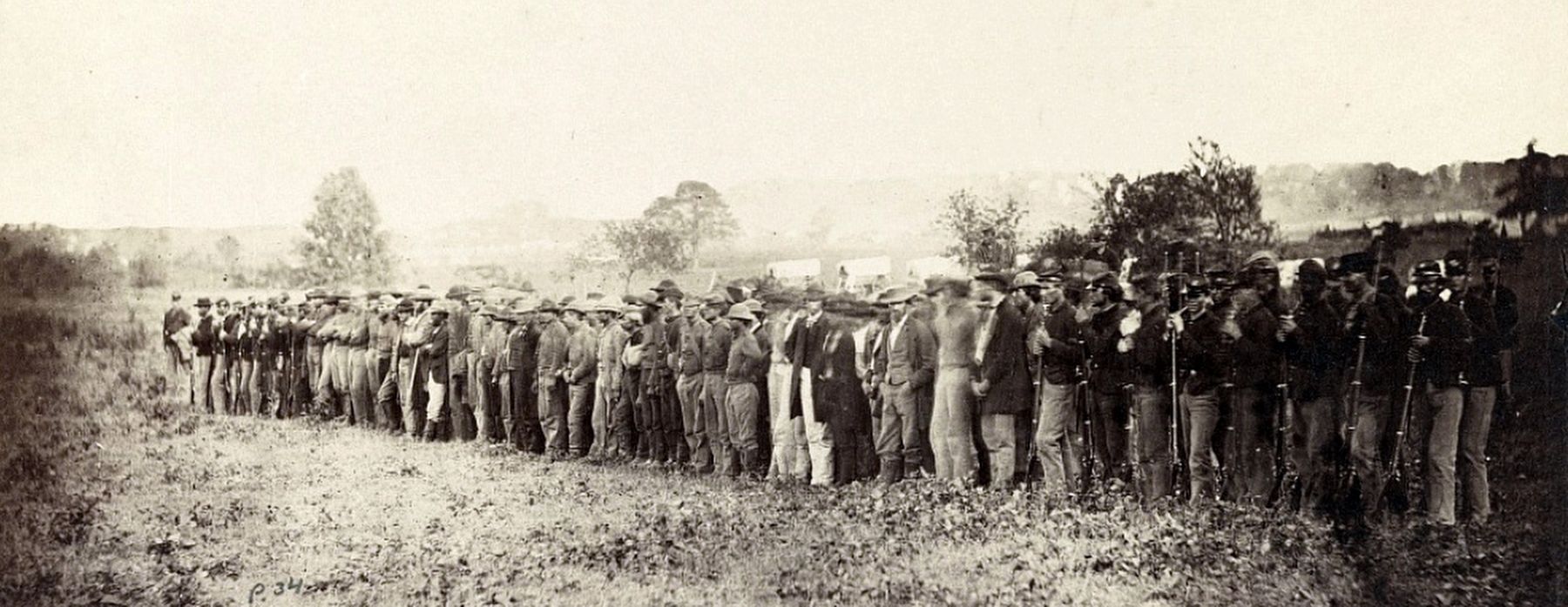
via Library of Congress, 1863
3. Confederate cavalrymen captured at Aldie
Gen. Pleasonton’s troopers did not break Stuart’s screen during the Loudoun Valley fighting, but they proved their skills had vastly improved since 1861. Pleasonton’s headquarters, a large white house known as Berkeley, stands a quarter mile west of here on a hill overlooking Route 50. (Ancillary text)
Credits. This page was last revised on May 28, 2023. It was originally submitted on May 28, 2023, by Larry Gertner of New York, New York. This page has been viewed 103 times since then and 26 times this year. Photos: 1, 2, 3. submitted on May 28, 2023, by Larry Gertner of New York, New York.

