Centreville in Fairfax County, Virginia — The American South (Mid-Atlantic)
Retreat From Manassas
Panic at Cub Run Bridge
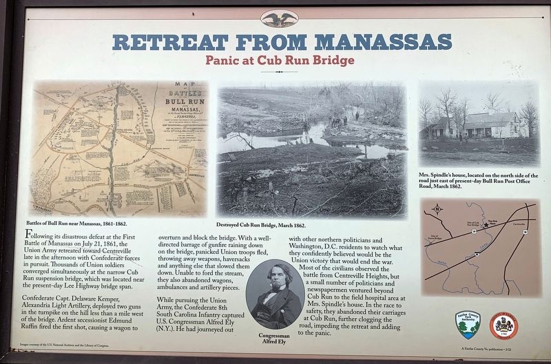
Confederate Capt. Delaware Kemper, Alexandria Light Artillery, deployed two guns in the turnpike on the hill less than a mile west of the bridge. Ardent secessionist Edmund Ruffin fired the first shot, causing a wagon to overturn and block the bridge. With a well-directed barrage of gunfire raining down on the bridge, panicked Union troops fled, throwing away weapons, haversacks and anything else that slowed them down. Unable to ford the stream, they also abandoned wagons, ambulances and artillery pieces.
While pursuing the Union Army, the Confederate 8th South Carolina Infantry captured U.S. Congressman Alfred Ely (N.Y.). He had journeyed out with other northern politicians and Washington, D.C. residents to watch what they confidently believed would be the Union victory that would end the war. Most of the civilians observed the battle from Centreville Heights, but a small number of politicians and newspapermen ventured beyond Cub Run to the field hospital area at Mrs. Spindle’s house. In the race to safety, they abandoned their carriages at Cub Run, further clogging the road, impeding the retreat and adding to the panic.
Erected by Fairfax County Park Authority.
Topics. This historical marker is listed in these topic lists: Bridges & Viaducts • War, US Civil. A significant historical date for this entry is July 21, 1861.
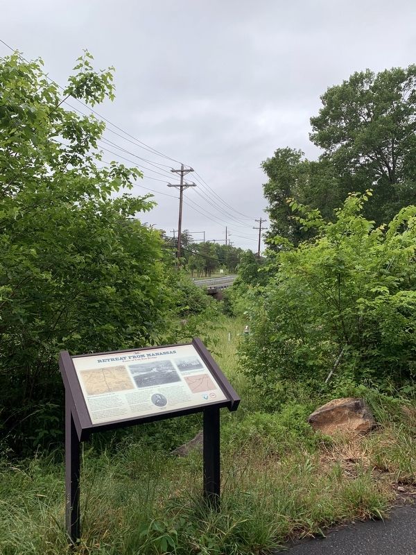
Location. 38° 50.017′ N, 77° 27.782′ W. Marker is in Centreville, Virginia, in Fairfax County. Marker can be reached from the intersection of U.S. 29 and Prince Way, on the right when traveling south. Marker is located along the Cub Run Stream Valley Trail. Touch for map. Marker is in this post office area: Centreville VA 20120, United States of America. Touch for directions.
Other nearby markers. At least 8 other markers are within 2 miles of this marker, measured as the crow flies. First Battle of Manassas (within shouting distance of this marker); Lane's Mill and Newton's Mill Ruins (approx. 0.4 miles away); Battery Ridge (approx. one mile away); Campaign of Second Manassas (approx. 1.2 miles away); Confederate Defenses (approx. 1.2 miles away); Second Battle of Manassas (approx. 1.2 miles away); a different marker also named First Battle of Manassas (approx. 1.2 miles away); Military Railroad Terminus (approx. 1.4 miles away). Touch for a list and map of all markers in Centreville.
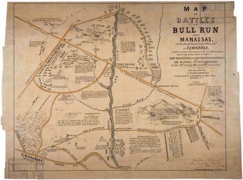
Regarding Retreat From Manassas. The marker displays a map captioned “Battles of Bull Run near Manassas, 1861-1862,” a “You Are Here” map and three photos captioned Congressman Alfred Ely, Destroyed Cub Run Bridge, March, 1862, and Mrs. Spindle’s house, located on the north side of the road just east of present-day Bull Run Post Office Road, March, 1862.
Related marker. Click here for another marker that is related to this marker. Old CWT Marker At This Location also titled “Retreat from Manassas"
Also see . . .
1. War Watchers at Bull Run During America's Civil War. Originally published by Civil War Times magazine. Published Online: June 12, 2006.
A crowd of Washington politicos, socialites, and newsmen came out to watch the war's first real battle, along northern Virginia's Bull Run. For most, the view was as disappointing as the fight's outcome. But a few got to see all the action they could handle, and more.(Submitted on May 29, 2023.)
2. Spectators Witness History at Manassas. By Jim Burgess, Museum Specialist at the Manassas National Battlefield Museum; Hallowed Ground Magazine, Spring 2011 (Submitted on May 29, 2023.)
Credits. This page was last revised on June 2, 2023. It was originally submitted on May 29, 2023. This page has been viewed 127 times since then and 23 times this year. Photos: 1, 2, 3. submitted on May 29, 2023. • Bernard Fisher was the editor who published this page.


